Topcon announces increased 3D scanning integration with Autodesk

Topcon Positioning Group says it has improved workflow compatibility for the GLS-2000 3D laser scanner and ScanMaster software with Autodesk solutions. With the latest version of Autodesk ReCap, the GLS-2000 pairs with Topcon ScanMaster software to collect, process, edit and deliver 3D point cloud data from a laser scanner. ReCap allows users to perform tasks such as scan conversion, editing and viewing point cloud data. It also provides integration with Autodesk’s portfolio of design software. Aut
August 17, 2015 Read time: 2 mins
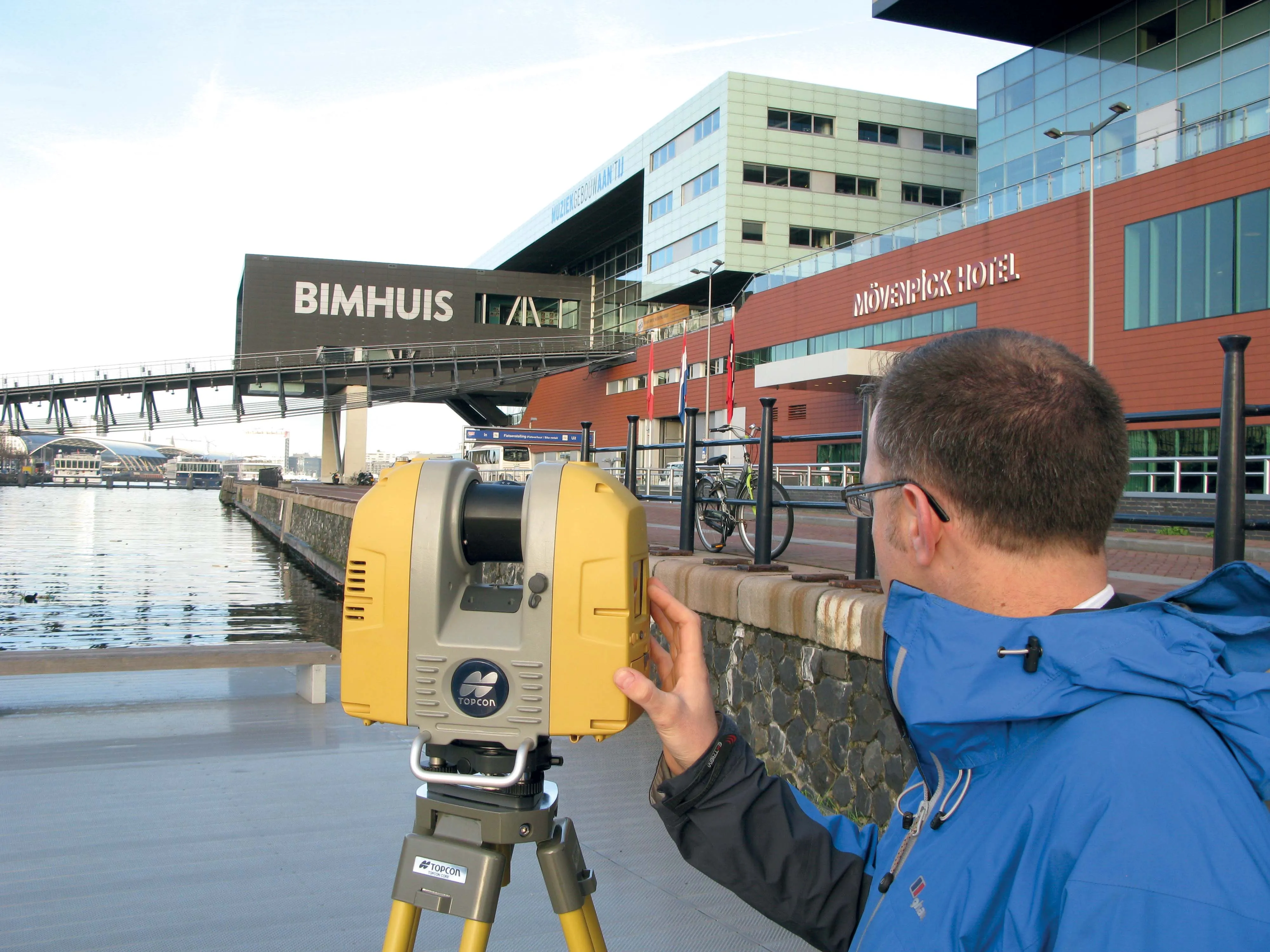
Better workflow compatibility for the GLS-2000
342 Topcon Positioning Group says it has improved workflow compatibility for the GLS-2000 3D laser scanner and ScanMaster software with 685 Autodesk solutions.

With the latest version of Autodesk ReCap, the GLS-2000 pairs with Topcon ScanMaster software to collect, process, edit and deliver 3D point cloud data from a laser scanner.

ReCap allows users to perform tasks such as scan conversion, editing and viewing point cloud data. It also provides integration with Autodesk’s portfolio of design software.

Autodesk ReCap and ReCap 360 have the new capability to read the Topcon CL3 format as a scan file in addition to a standard point cloud. The scan file allows the use of individual scan positions for registration workflows.

“File conversion is no longer necessary,” said Ray Kerwin, director of Topcon’s global surveying products. “Exporting can be done straight out of scan position. Users ultimately get a more streamlined workflow, more data detail and increased access to the point cloud. With individual scan positions it is possible to generate RealViews that offer a web-viewing output.”

Integration is available for versions including Autodesk ReCap, ReCap 360 and ReCap 360 Ultimate software.

For more information on companies in this article

Related Content

  • Precision narrows the gap between design software and GIS
    March 20, 2012
    Greater precision is helping blur the boundaries between GIS technology and design software While GIS map based technology has extended its range across an ever more universal spectrum of uses in the highways sector, it is increasingly showing weaknesses for engineering purposes. It is very often not accurate enough. This has not mattered previously because the GIS tool has been seen essentially as an automated version of paper based systems from the design department's point of view. Where engineers
  • Spot on with Trimble’s X7 3D scanner
    November 25, 2021
    The X7 solution was jointly developed by Trimble and Boston Dynamics.
  • Improved construction software from Topcon
    June 22, 2021
    Topcon Positioning is introducing the latest version of its software package for construction and survey professionals: MAGNET 7.
  • Topcon’s advanced software for construction
    December 12, 2018
    Topcon Positioning is introducing the latest version of its MAGNET 5 software. This new version includes upgrades to the MAGNET Field, Office and Enterprise applications designed for advanced performance, third-party integration, and construction planning and oversight capability. The package offers new flexible display options and additional customisable data labels. Additionally, operators can view GNSS status when the controller is connected to a total station in Hybrid mode, and show offsets as a visua