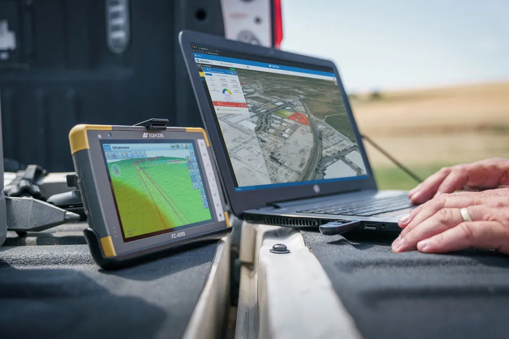
Topcon’s advanced software for construction

Topcon Positioning is introducing the latest version of its MAGNET 5 software. This new version includes upgrades to the MAGNET Field, Office and Enterprise applications designed for advanced performance, third-party integration, and construction planning and oversight capability. The package offers new flexible display options and additional customisable data labels. Additionally, operators can view GNSS status when the controller is connected to a total station in Hybrid mode, and show offsets as a visua
December 12, 2018 Read time: 2 mins
The new MAGNET package from Topcon Positioning offers additional capabilities for use with machine control technologies

342 Topcon Positioning is introducing the latest version of its MAGNET 5 software. This new version includes upgrades to the MAGNET Field, Office and Enterprise applications designed for advanced performance, third-party integration, and construction planning and oversight capability.

The package offers new flexible display options and additional customisable data labels. Additionally, operators can view GNSS status when the controller is connected to a total station in Hybrid mode, and show offsets as a visual reference when staking roads and lines. Improvements to MAGNET Field also contain new vertical construction capabilities including reflectorless layout.

The MAGNET system also supports third-party construction and survey file types. It includes filtering and editing capabilities to bring Autodesk and Bentley design files to the office or directly to field software. MAGNET Enterprise updates feature new cloud connection to Autodesk BIM 360 and Bentley ProjectWise as well as unlimited project file storage.

Additions to MAGNET Office are designed to be centred on contractor needs and include new advanced corridor functionalities for machine control file preparation, Mass Haul application improvements, and an integration of BIM for infrastructure features directly into the suite. 

For more information on companies in this article

Related Content

  • Latest GIS and software tools improve operations
    February 24, 2012
    Innovative GIS and software solutions are coming to market from the three key market players - Mike Woof reports Competition is strong in the field for GIS and surveying systems as well as the associated software. The three major players in the sector, Leica Geosystems, Topcon and Trimble, all invest heavily in research and development and continue to roll out new solutions for construction customers that will boost the efficiency of surveying as well as overall project implementation.
  • Topcon’s new survey solution
    October 27, 2016
    Topcon Positioning Group’s new surveying suite features four integrated solutions, comprising three hardware products and a single software system. The firm says that this package provides users with a powerful survey system. The Topcon Elite Survey Suite includes the new GT series of robotic total stations, HiPer HR hybrid GNSS receiver, FC-5000 field computer and MAGNET 4.0 software system. According to Topcon, users can benefit from advanced geo-positioning products and technology in one system.
  • Software advances from around the globe
    April 24, 2013
    A quick look at various software development in highways – Adrian Greeman. Software for BIM processes, internet cloud based computing to link site and office, and the use of laser scan point-cloud data continue to be the central themes for major software suppliers in the road design area. Developments go hand in hand with the recent strategic agreements that firms like Autodesk and Bentley Systems have made with major survey companies, Topcon and Trimble respectively. The tie-ups, along with acquisitions, m
  • Improved construction software from Topcon
    June 22, 2021
    Topcon Positioning is introducing the latest version of its software package for construction and survey professionals: MAGNET 7.