Topcon announces increased 3D scanning integration with Autodesk

Topcon Positioning Group says it has improved workflow compatibility for the GLS-2000 3D laser scanner and ScanMaster software with Autodesk solutions. With the latest version of Autodesk ReCap, the GLS-2000 pairs with Topcon ScanMaster software to collect, process, edit and deliver 3D point cloud data from a laser scanner. ReCap allows users to perform tasks such as scan conversion, editing and viewing point cloud data. It also provides integration with Autodesk’s portfolio of design software. Aut
August 17, 2015 Read time: 2 mins
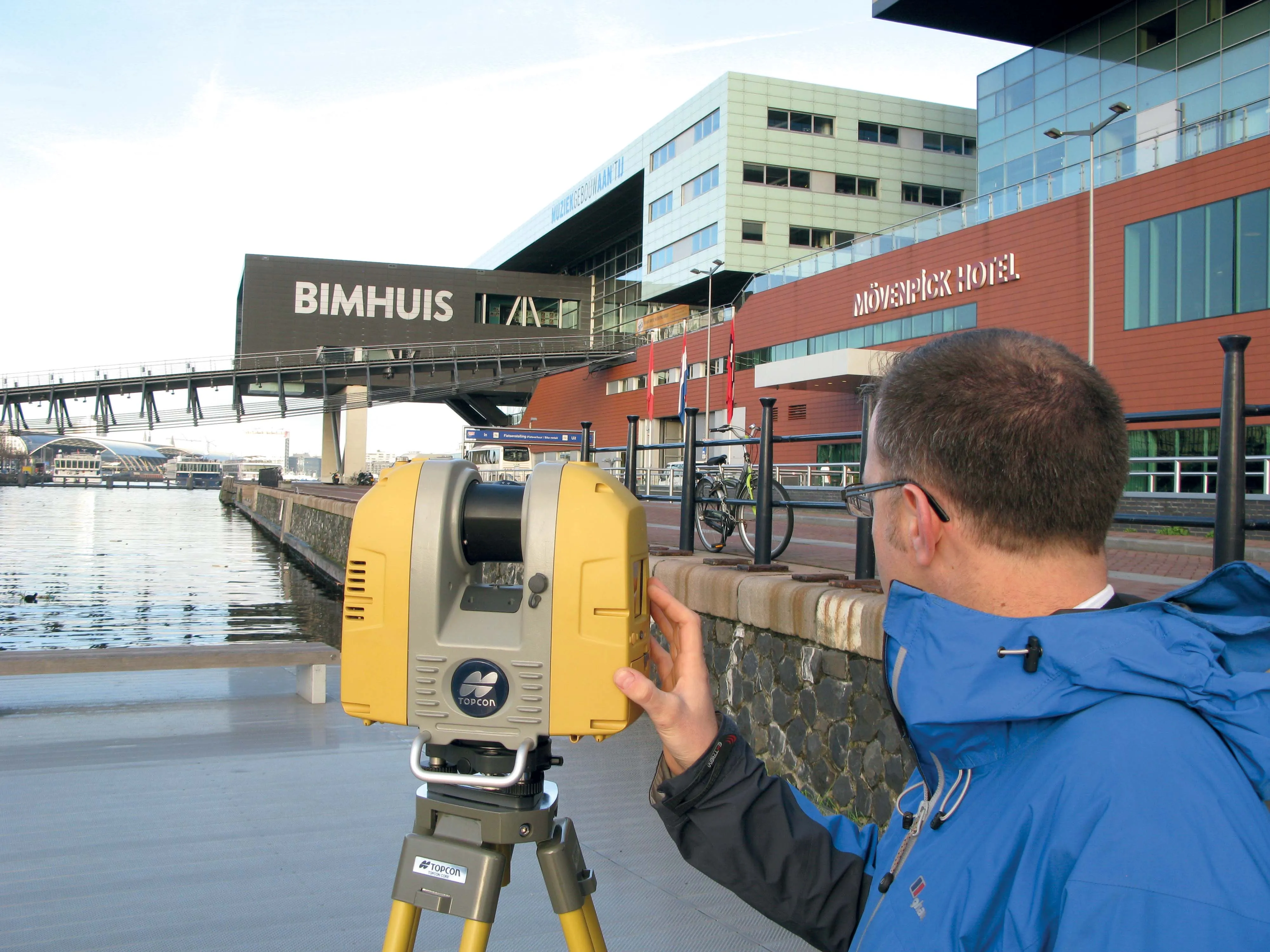
Better workflow compatibility for the GLS-2000
342 Topcon Positioning Group says it has improved workflow compatibility for the GLS-2000 3D laser scanner and ScanMaster software with 685 Autodesk solutions.

With the latest version of Autodesk ReCap, the GLS-2000 pairs with Topcon ScanMaster software to collect, process, edit and deliver 3D point cloud data from a laser scanner.

ReCap allows users to perform tasks such as scan conversion, editing and viewing point cloud data. It also provides integration with Autodesk’s portfolio of design software.

Autodesk ReCap and ReCap 360 have the new capability to read the Topcon CL3 format as a scan file in addition to a standard point cloud. The scan file allows the use of individual scan positions for registration workflows.

“File conversion is no longer necessary,” said Ray Kerwin, director of Topcon’s global surveying products. “Exporting can be done straight out of scan position. Users ultimately get a more streamlined workflow, more data detail and increased access to the point cloud. With individual scan positions it is possible to generate RealViews that offer a web-viewing output.”

Integration is available for versions including Autodesk ReCap, ReCap 360 and ReCap 360 Ultimate software.

For more information on companies in this article

Related Content

  • Machine Control sector is the place for acquisitions
    January 22, 2014
    The machine control sector has been lively in recent months with a major acquisition, the unveiling of new software innovation and landmark testing of new technology to monitor paving temperature. Guy Woodford reports The state road construction authority in the German state of Saxony-Anhalt (LSBB Saxony-Anhalt) has become the first nationally to test MOBA’s new PAVE-IR Scan temperature measurement system at a works site.
  • Updates to Topcon MAGNET product improve customer notification
    January 6, 2017
    Topcon Positioning Group has updated the MAGNET suite of software solutions to ensure customers have the most up-to-date information available. MAGNET v3.0 includes several new and enhanced features designed to increase interconnectivity and productivity. Among the improvements are user notifications that new data is available, said Ronald Verheijen, Topcon manager of product support.
  • Updates to Topcon MAGNET product improve customer notification
    April 23, 2015
    Topcon Positioning Group has updated the MAGNET suite of software solutions to ensure customers have the most up-to-date information available. MAGNET v3.0 includes several new and enhanced features designed to increase interconnectivity and productivity. Among the improvements are user notifications that new data is available, said Ronald Verheijen, Topcon manager of product support.
  • Smart software solution from 3D
    October 12, 2017
    Advanced software from 3D Repo offers additional support for some of the leading packages used within engineering and construction sectors, such as Autodesk Navisworks. This updated, cloud-based BIM collaboration platform provides improved support for large 3D models used in infrastructure projects. It also offers integrated VR functionality for applications such as training, safety and project consultation.