Topcon announces increased 3D scanning integration with Autodesk

Topcon Positioning Group says it has improved workflow compatibility for the GLS-2000 3D laser scanner and ScanMaster software with Autodesk solutions. With the latest version of Autodesk ReCap, the GLS-2000 pairs with Topcon ScanMaster software to collect, process, edit and deliver 3D point cloud data from a laser scanner. ReCap allows users to perform tasks such as scan conversion, editing and viewing point cloud data. It also provides integration with Autodesk’s portfolio of design software. Aut
August 17, 2015 Read time: 2 mins
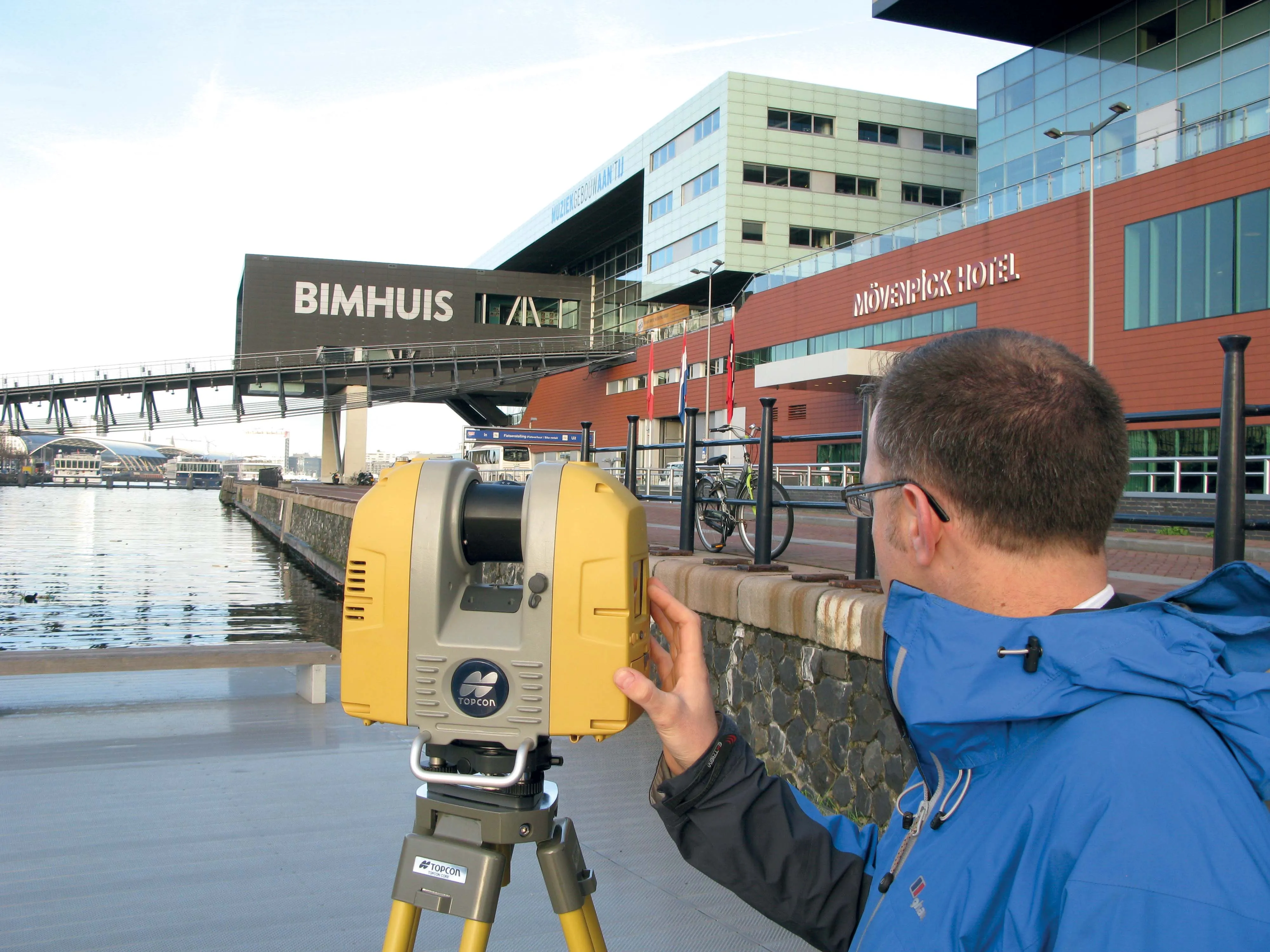
Better workflow compatibility for the GLS-2000
342 Topcon Positioning Group says it has improved workflow compatibility for the GLS-2000 3D laser scanner and ScanMaster software with 685 Autodesk solutions.

With the latest version of Autodesk ReCap, the GLS-2000 pairs with Topcon ScanMaster software to collect, process, edit and deliver 3D point cloud data from a laser scanner.

ReCap allows users to perform tasks such as scan conversion, editing and viewing point cloud data. It also provides integration with Autodesk’s portfolio of design software.

Autodesk ReCap and ReCap 360 have the new capability to read the Topcon CL3 format as a scan file in addition to a standard point cloud. The scan file allows the use of individual scan positions for registration workflows.

“File conversion is no longer necessary,” said Ray Kerwin, director of Topcon’s global surveying products. “Exporting can be done straight out of scan position. Users ultimately get a more streamlined workflow, more data detail and increased access to the point cloud. With individual scan positions it is possible to generate RealViews that offer a web-viewing output.”

Integration is available for versions including Autodesk ReCap, ReCap 360 and ReCap 360 Ultimate software.

For more information on companies in this article

Related Content

  • Accurate scanning
    February 6, 2012
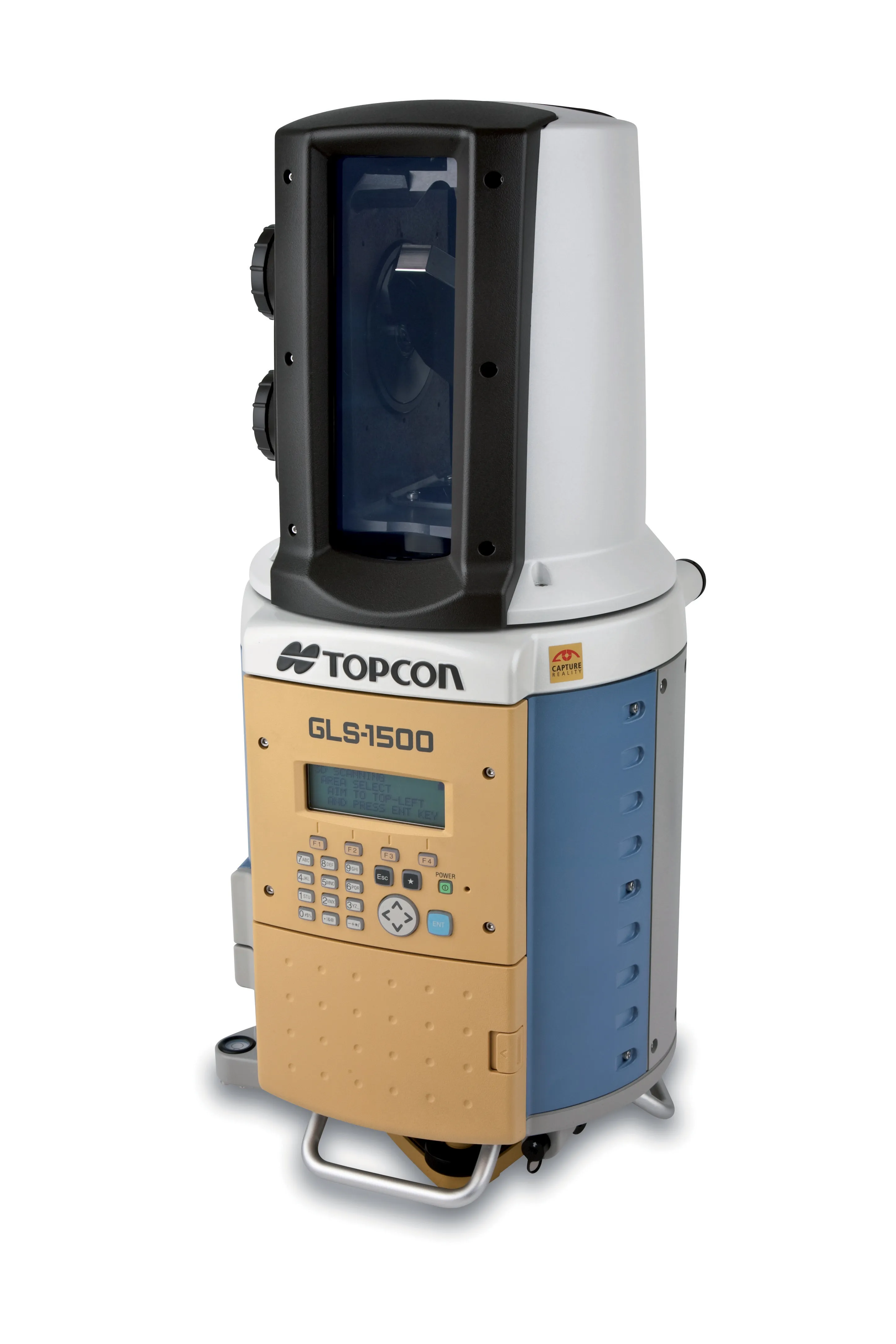
    TOPCON CLAIMS that its GLS- 1500 laser scanner speeds point cloud collection. This unit is 10 times faster than previous units and collects up to 30,000 points/second, reducing the amount of equipment needed in the field. The GLS-1500 offers a range of up to 330m and is designed for quick setup to save time and improve productivity.
  • Innovation in road design and management software
    February 17, 2012
    The emphasis on data processing and re-use, continues to grow in the development of design and management software. The interoperability of software, the need to handle and process larger amounts of data, and re-use and retention of data sets from one task to another have been a growing emphasis in the past few years. It allows infrastructure companies to get better value from expensively collected information and to focus more on the whole life cycle of projects.
  • Improved laser scanning capabilities
    February 23, 2012
    Leica Geosystems is broadening its software offering with its new Leica Cyclone v7.2 package, which is said to improve office processing capabilities. The package has been developed to address key market needs and trends in the processing and use of rich, as-built point cloud data from high definition laser scanning technology. According to the firm the package can help reduce laser scanning project costs, including office time, allowing projects to use more scans and higher scan densities.
  • Topcon and Faro scan new horizons
    August 13, 2012
    Topcon Europe Positioning and FARO has signed a partnership agreement for the distribution of FARO Laser Scanner Focus3D in most European countries, the Middle East and Africa. Sander Jongeleen, product manager for mobile mapping at Topcon Europe Positioning, said: “The Focus3D has been designed for close range laser scanning, and is equipped with a very intuitive user interface. Sitting alongside our GLS-1500, the Focus3D will allow our distribution network to address every segment of the terrestrial scann