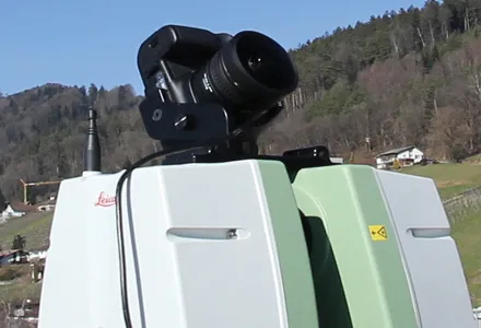
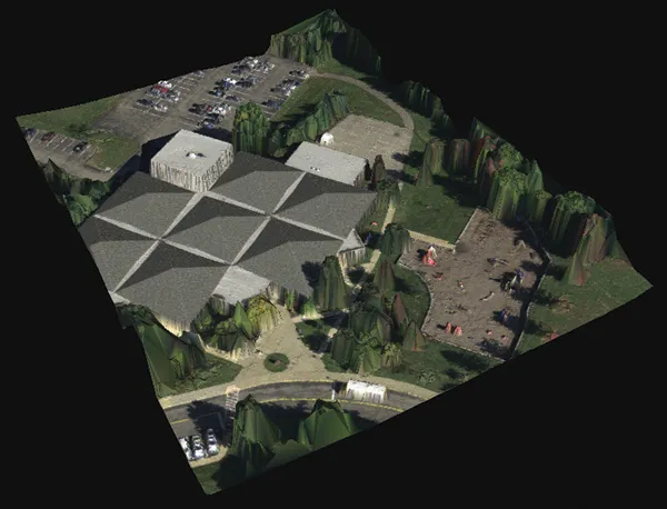
Leica Geosystems is broadening its software offering with its new Leica Cyclone v7.2 package, which is said to improve office processing capabilities. The package has been developed to address key market needs and trends in the processing and use of rich, as-built point cloud data from high definition laser scanning technology. According to the firm the package can help reduce laser scanning project costs, including office time, allowing projects to use more scans and higher scan densities.
The package has been developed to address key market needs and trends in the processing and use of rich, as-built point cloud data from high definition laser scanning technology. According to the firm the package can help reduce laser scanning project costs, including office time, allowing projects to use more scans and higher scan densities.
Features that reduce processing time include an up to 4x-10x improvement in rendering as a user moves or navigates through scan data sets and greater CPU availability for converting point clouds into models, with rendering carried out by a graphics/video card GPU. In addition the program allows automatic extraction of black and white scan targets from scans and provides a registration grouping tool that lets users register hundreds of scanner setups where field problems might exist.
At the same time the package means that users can export point clouds to Leica point cloud Engine (pcE) based applications, such as Leica Cyclone II TOPO. Another feature is the efficient batch import of proposed CAD design models into Cyclone TruSpace scans for batch publishing as TruViews. When the automatic extraction of black & white targets is combined with automatic target matching, the registration process can be automated using simple, unlabelled, low-cost black and white targets, reducing office time by hours or even by days for large, challenging projects. The package is also said to allow users to visualise scanned sites due to its high quality digital imagery. Cyclone 7.2 blends out the visual tiling effect sometimes seen in digital photos taken by a Leica ScanStation C10 or C5 internal camera.
Meanwhile product upgrades mean that users of Leica XPro 5.1 can now benefit from changes within the workflow to double processing speed. These can help deliver Info Clouds that include spectral and time information. The XPro 5.1 product allows workflow steps of image QC and aerial triangulation directly on the raw Mass Memory MM80 data. The time consuming L0 image extraction step can now be skipped. The software offers a Raw to Product processing option for applications where the production and delivery speed of ortho-images play a crucial role. In Leica Xpro 5.1, the creation of Info Clouds is fully integrated into the processing workflow and lets users benefit by accessing clean data without editing. All information spectral and time values are combined in one data set.