Topcon announces increased 3D scanning integration with Autodesk

Topcon Positioning Group says it has improved workflow compatibility for the GLS-2000 3D laser scanner and ScanMaster software with Autodesk solutions. With the latest version of Autodesk ReCap, the GLS-2000 pairs with Topcon ScanMaster software to collect, process, edit and deliver 3D point cloud data from a laser scanner. ReCap allows users to perform tasks such as scan conversion, editing and viewing point cloud data. It also provides integration with Autodesk’s portfolio of design software. Aut
August 17, 2015 Read time: 2 mins
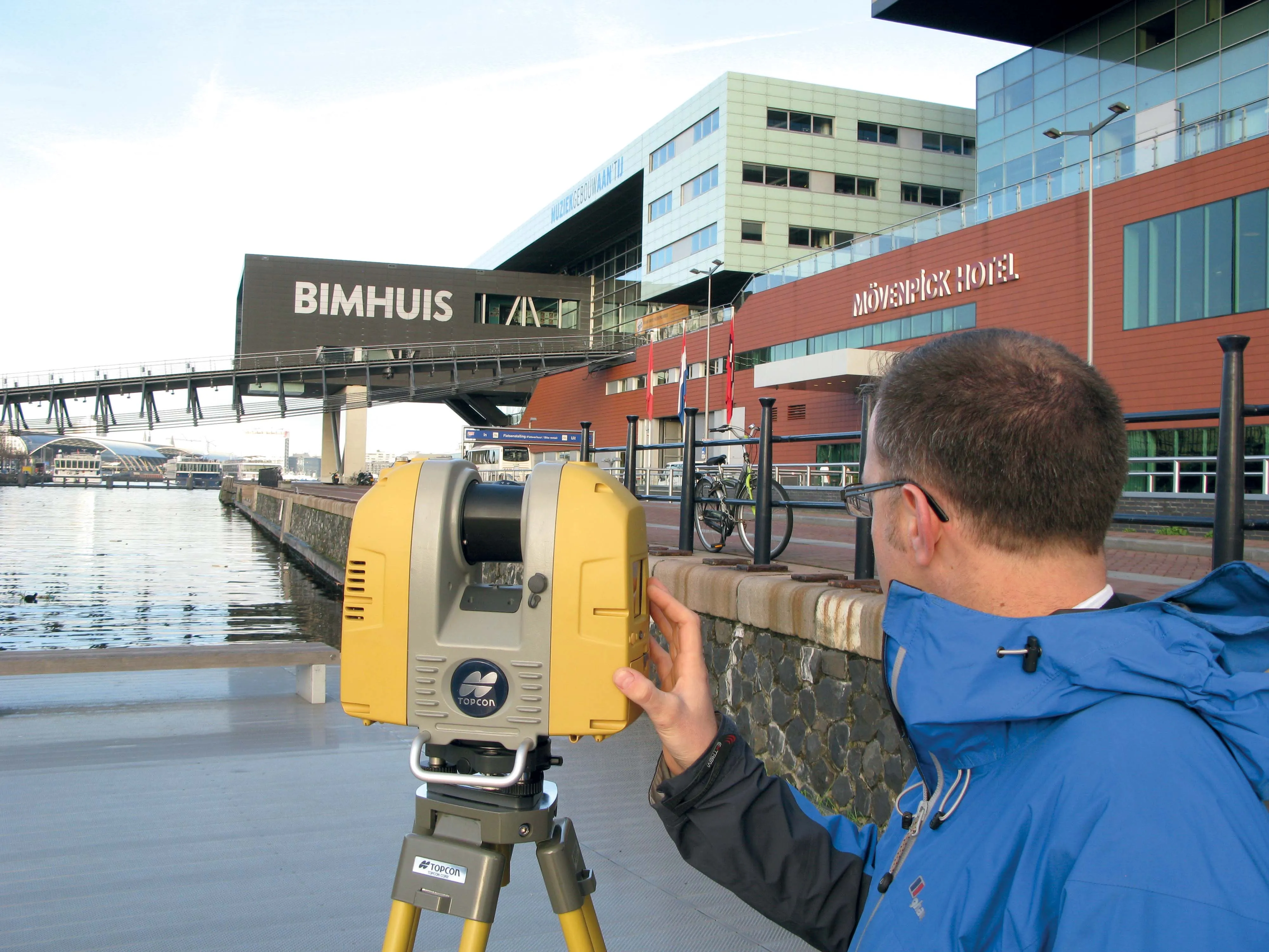
Better workflow compatibility for the GLS-2000
342 Topcon Positioning Group says it has improved workflow compatibility for the GLS-2000 3D laser scanner and ScanMaster software with 685 Autodesk solutions.

With the latest version of Autodesk ReCap, the GLS-2000 pairs with Topcon ScanMaster software to collect, process, edit and deliver 3D point cloud data from a laser scanner.

ReCap allows users to perform tasks such as scan conversion, editing and viewing point cloud data. It also provides integration with Autodesk’s portfolio of design software.

Autodesk ReCap and ReCap 360 have the new capability to read the Topcon CL3 format as a scan file in addition to a standard point cloud. The scan file allows the use of individual scan positions for registration workflows.

“File conversion is no longer necessary,” said Ray Kerwin, director of Topcon’s global surveying products. “Exporting can be done straight out of scan position. Users ultimately get a more streamlined workflow, more data detail and increased access to the point cloud. With individual scan positions it is possible to generate RealViews that offer a web-viewing output.”

Integration is available for versions including Autodesk ReCap, ReCap 360 and ReCap 360 Ultimate software.

For more information on companies in this article

Related Content

  • Topcon announces increased integration with Autodesk scanning software
    June 2, 2016
    Topcon Positioning Group has announced increased integration in the Autodesk and Topcon reality data workflow that it says is designed to increase project efficiency. Raw scan data from the Topcon GLS-2000 laser scanner can now be taken directly into Autodesk ReCap 360 and ReCap 360 Pro with no intermediate software conversion steps necessary. Topcon said that this integration is designed to streamline point cloud analysis to quickly identify conflicts, measure variations and make adjustments at vari
  • Laser scanning focuses on asset management
    January 9, 2015
    Laser scanners and improved data collection and analysis software are making light of asset management surveying. David Arminas reports The age of the laser scanner is upon us, taking over from traditional manual methods of surveying, data collection and processing. These new technical developments are making it much easier to process and use the data captured and are providing highways engineers with powerful tools to record, map and visualise their assets. This is good news for highways authorities
  • Topcon beefs up eXchange AutoCAD 3D civil engineering software
    March 10, 2015
    Topcon’s latest eXchange software add-on for AutoCAD Civil 3D civil engineering design software converts data into files compatible with Topcon 3D construction solutions as well as the MAGNET software system. The add-on even converts complex road designs with defined corridors into Topcon standard file formats, such as MJF (MAGNET Field job) for land surveying and construction layout, and TP3 (3D Topcon Project File) for machine control systems. After installation, users are offered the ability to log in to
  • Topcon’s LN-100 3D positioning system
    May 13, 2014
    Topcon Positioning Group says its new BIM solution - the LN-100 – is the world’s first 3D positioning system designed specifically for construction layout. Said to offer seamless integration and flow of project data from the design to the field, the LN-100 is simple to operate, removing “the intimidation factor and reducing the learning curve in performing construction layout tasks,” according to Eduardo Falcon, Topcon Positioning Group executive vice president and general manager for the GeoPositioning