Topcon announces increased 3D scanning integration with Autodesk

Topcon Positioning Group says it has improved workflow compatibility for the GLS-2000 3D laser scanner and ScanMaster software with Autodesk solutions. With the latest version of Autodesk ReCap, the GLS-2000 pairs with Topcon ScanMaster software to collect, process, edit and deliver 3D point cloud data from a laser scanner. ReCap allows users to perform tasks such as scan conversion, editing and viewing point cloud data. It also provides integration with Autodesk’s portfolio of design software. Aut
August 17, 2015 Read time: 2 mins
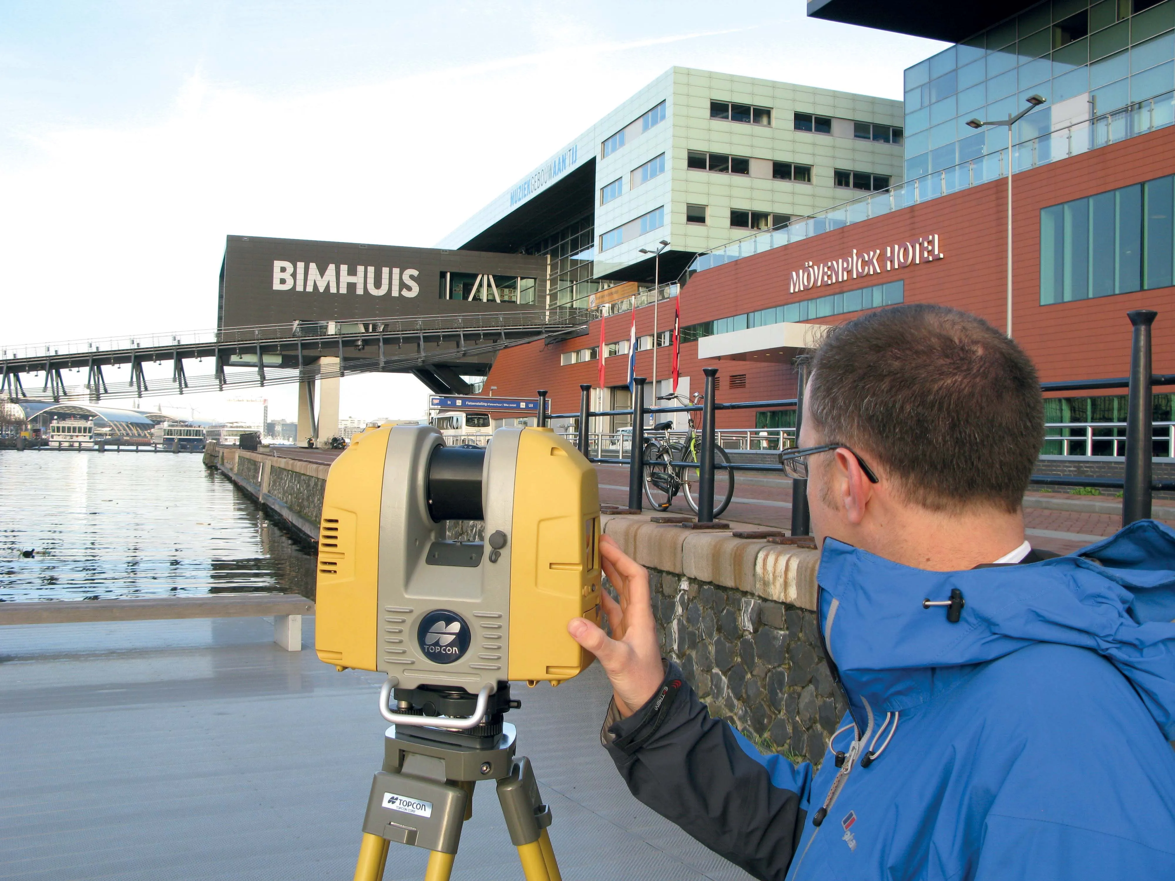
Better workflow compatibility for the GLS-2000
342 Topcon Positioning Group says it has improved workflow compatibility for the GLS-2000 3D laser scanner and ScanMaster software with 685 Autodesk solutions.

With the latest version of Autodesk ReCap, the GLS-2000 pairs with Topcon ScanMaster software to collect, process, edit and deliver 3D point cloud data from a laser scanner.

ReCap allows users to perform tasks such as scan conversion, editing and viewing point cloud data. It also provides integration with Autodesk’s portfolio of design software.

Autodesk ReCap and ReCap 360 have the new capability to read the Topcon CL3 format as a scan file in addition to a standard point cloud. The scan file allows the use of individual scan positions for registration workflows.

“File conversion is no longer necessary,” said Ray Kerwin, director of Topcon’s global surveying products. “Exporting can be done straight out of scan position. Users ultimately get a more streamlined workflow, more data detail and increased access to the point cloud. With individual scan positions it is possible to generate RealViews that offer a web-viewing output.”

Integration is available for versions including Autodesk ReCap, ReCap 360 and ReCap 360 Ultimate software.

For more information on companies in this article

Related Content

  • Software advances from around the globe
    April 24, 2013
    A quick look at various software development in highways – Adrian Greeman. Software for BIM processes, internet cloud based computing to link site and office, and the use of laser scan point-cloud data continue to be the central themes for major software suppliers in the road design area. Developments go hand in hand with the recent strategic agreements that firms like Autodesk and Bentley Systems have made with major survey companies, Topcon and Trimble respectively. The tie-ups, along with acquisitions, m
  • Positioning tools continue to improve
    July 16, 2012
    Topcon says that its new IP-S2 package combines GNNS positioning capabilities with inertial sensors, while the firm also has a solution for customers wanting to mix and match receiver components. The IP-S2 is a vehicle-mounted, mobile 3D tool that offers precision mapping and surveying capabilities. The package collects data using 3D laser scanners, LIDAR, and/or cameras, and this is then integrated, time-stamped and geo-referenced. The customer can use this assembled data to combine LIDAR point cloud and d
  • Innovative GIS software offerings
    July 18, 2012
    The latest construction software developments can speed the construction process overall, Adrian Greeman reports Construction software is by its very nature a very fast moving technology, with new systems coming to the market almost continuously. There are some key developments however, such as major new product launches and market trends. One of the most important developments in the road design sector is the launch of the Bentley Systems V8i versions of its software, including its road design applications
  • Topcon offering new solutions
    February 8, 2016
    Topcon Positioning is broadening its solutions to the construction sector with a combination of partnerships and acquisitions. The firm has acquired a significant share of Finnish design software specialist Viasys VDC, adding to its portfolio of (BIM) technologies. This firm offers a comprehensive suite of tools and services for building Virtual Design and Construction (VDC) models for infrastructure and site-work projects. The VDC models from Viasys can be used to optimise the construction process through