Surveying software from Trimble

Trimble has introduced its Siteworks SE Starter Edition, an entry-level, easy-to-use construction surveying software.
June 15, 2021 Read time: 2 mins
Trimble is now offering a new version of its Siteworks package

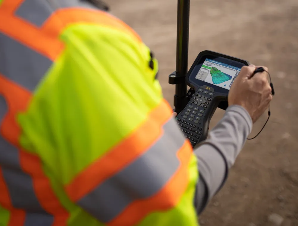
Using a construction GNSS receiver, site personnel can check a grade, slope or alignment and navigate the project more accurately and in less time than with conventional survey methods. Budget-conscious contractors can also achieve a quick return on investment by giving more site personnel access to survey technology, boosting productivity and efficiency in the field.

The Siteworks SE Software is a simplified version of the firm’s existing Siteworks Software. It is aimed at users who do not require a full feature set and are interested in a lower-cost version to connect to GNSS only. The same graphics and features found in Siteworks make the software easy to learn.

Using the same data folder structure, file formats and workflows, the Siteworks SE Software is fully compatible with the Siteworks Software. Contractors can also upgrade to the full version.

The Siteworks SE Software can be used by contractors who want to determine their location on a project, see cut/fill values to a design surface or alignment, or visualise constructible models in 3D. Users can measure feature points, lines and areas, or navigate to points, lines and alignments, and create PDF reports. A special mode allows users to capture accurate measurements on steep slopes from a moving vehicle. Trimble Siteworks SE is compatible with a wide range of GNSS hardware configurations to meet the contractor’s business needs and budget requirements.

For more information on companies in this article

Related Content

  • Rapid adoption of GPS machine control
    April 5, 2012
    The high sophistication of GPS machine control systems has resulted in a fast pace of technological advancement. The three major players in the machine control sector, Leica Geosystems, Topcon and Trimble have all made major gains in recent years. The sophistication of the latest systems can combine satellite position data from the GPS and GLONASS networks with information from total stations to provide precise, high speed machine operation. Further more the firms have also prepared themselves for the intro
  • Quantm is making Trimble one of the world’s leading BIM market challengers
    December 19, 2016
    When Trimble first launched its Quantm software system a decade or so ago, the company was making an important step into end-to-end BIM modelling. The rules of the game were changing fast. Adrian Greeman reports When survey and machine control equipment maker Trimble bought the Australian road planning software system Quantm in 2006 it might not have realised quite what it was leading to. A decade later, Quantm is helping to put Trimble among the big players in the BIM (building information modelling) en
  • Machine control innovations
    February 15, 2012
    THE RECENT CONEXPO-CON/AGG exhibition has seen the launch of a wealth of new machine control technologies - Mike Woof reports A fast pace of technological development in the machine control sector is seeing new innovations come to market at regular intervals. The developments remain focussed on the three main technology suppliers to this market, Leica Geosystems, Topcon and Trimble, offereng a combination of systems using machine control based on GPS, total station, sonic units and industrial inertial gu
  • New surveying tool from Topcon
    January 12, 2021
    Topcon Positioning Group is introducing its top-of-the-range GT Series robotic total stations for survey, construction, and machine control applications.