
Surveying software from Trimble

Trimble has introduced its Siteworks SE Starter Edition, an entry-level, easy-to-use construction surveying software.
June 15, 2021 Read time: 2 mins
Trimble is now offering a new version of its Siteworks package

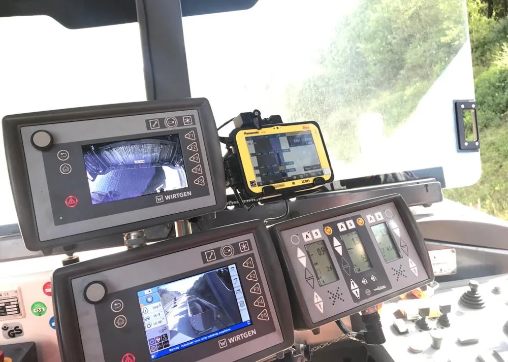
Using a construction GNSS receiver, site personnel can check a grade, slope or alignment and navigate the project more accurately and in less time than with conventional survey methods. Budget-conscious contractors can also achieve a quick return on investment by giving more site personnel access to survey technology, boosting productivity and efficiency in the field.

The Siteworks SE Software is a simplified version of the firm’s existing Siteworks Software. It is aimed at users who do not require a full feature set and are interested in a lower-cost version to connect to GNSS only. The same graphics and features found in Siteworks make the software easy to learn.

Using the same data folder structure, file formats and workflows, the Siteworks SE Software is fully compatible with the Siteworks Software. Contractors can also upgrade to the full version.

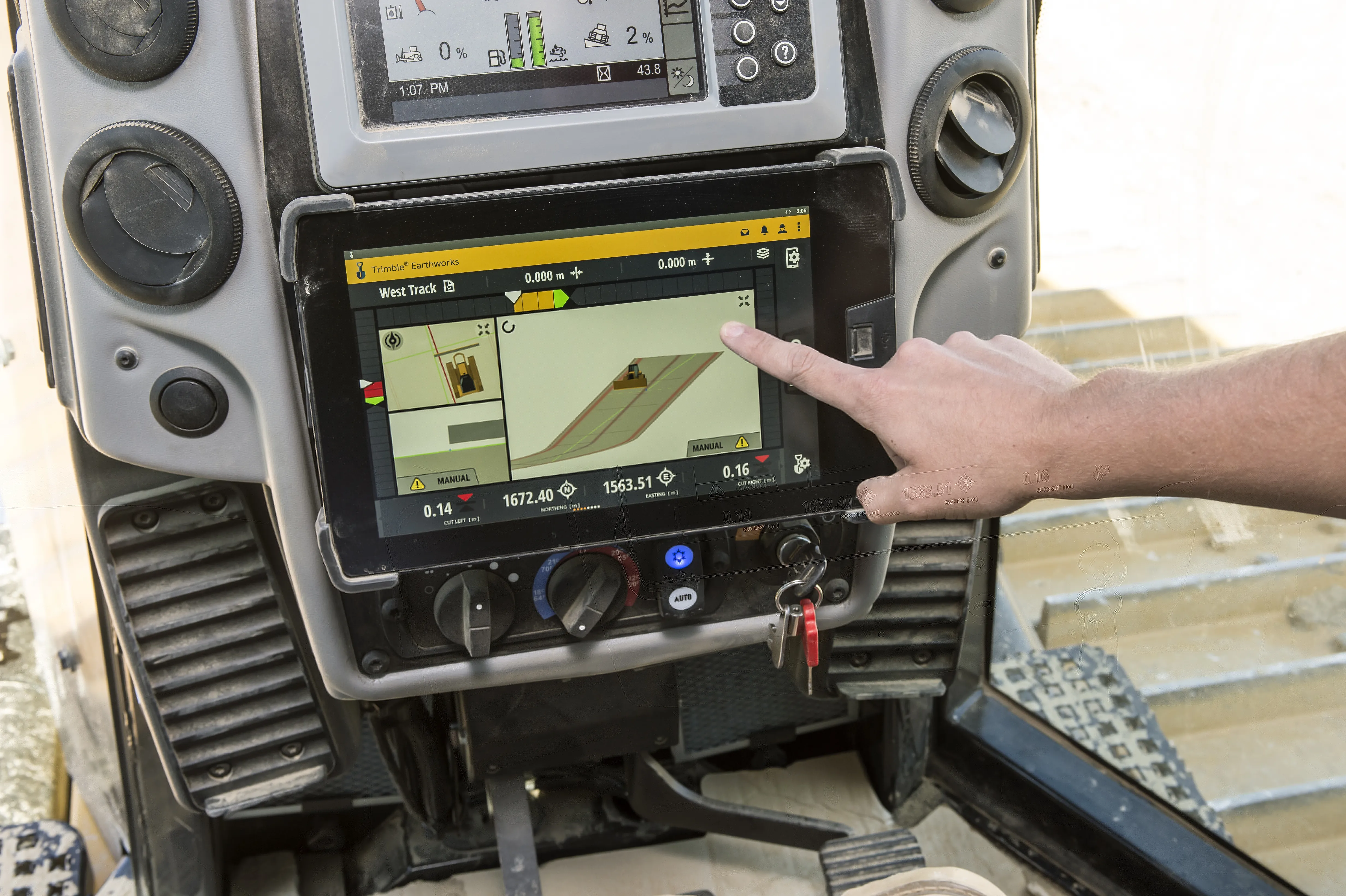
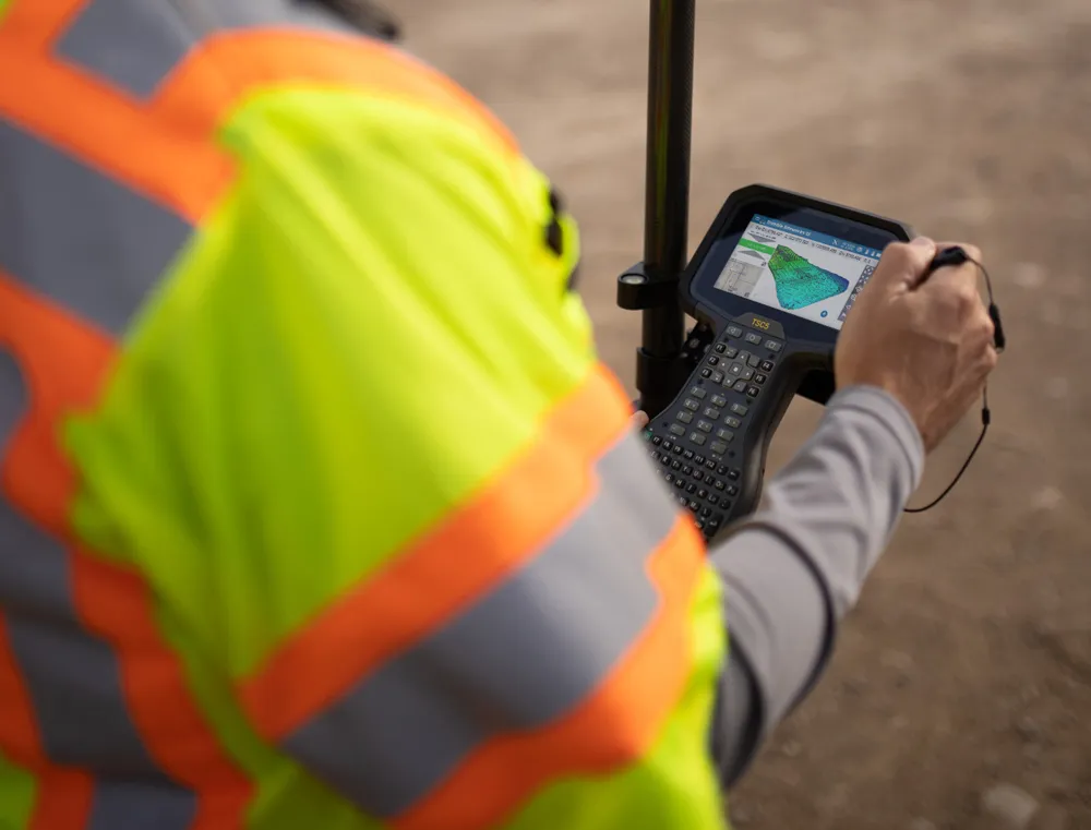
The Siteworks SE Software can be used by contractors who want to determine their location on a project, see cut/fill values to a design surface or alignment, or visualise constructible models in 3D. Users can measure feature points, lines and areas, or navigate to points, lines and alignments, and create PDF reports. A special mode allows users to capture accurate measurements on steep slopes from a moving vehicle. Trimble Siteworks SE is compatible with a wide range of GNSS hardware configurations to meet the contractor’s business needs and budget requirements.

For more information on companies in this article

Related Content

  • Sophisticated technology allows milling accuracy
    January 14, 2021
    Given the increase in vehicle numbers and that modern vehicles are heavier, it is more important for modern highways to be constructed to higher standards than previously.
  • Road construction software innovations
    February 13, 2012
    A range of key software innovations are now available for road construction applications from various suppliers - Adrian Greeman writes. Two significant and highly economic alternatives are now available to the major CAD providers both from Belgium and both offering interesting features. First is Pythagoras, which describes itself as a modern CAD program specially designed for topographical applications which include land surveying, road design and city planning.
  • Data handling for efficient machine control
    October 16, 2012
    The rapid increase in information availability is transforming the construction sector. Conventional methods used for sourcing geographic data based on maps and localised sampling meant that there was often a lack of accurate information relating to ground conditions at specific areas where work was planned, often resulting in unwelcome surprises for construction companies along with additional costs for projects.
  • Trimble offers advanced dozer machine control solution
    February 28, 2018
    Trimble is now introducing its Earthworks for Dozers package, following on from the Earthworks for Excavators system unveiled last year. The Earthworks Grade Control System for Dozers uses the same inertial motion sensors (IMUs) as the excavator package and mounts its dual GNSS receivers on top of the cab to eliminate masts and cables conventionally located on the blade. The dual GNSS receivers suit steep slope work and complex designs with tight tolerances. The new configuration keeps valuable receivers