Surveying offering

Leica Geosystems is broadening its surveying range with the introduction of three aluminium construction tripods. The two mid-range tripods, the CTP104 and CTP104D, can cope with tough conditions on site and are designed for use with Leica Geosystems levels, lasers and construction theodolites. Both employ quick-release clamps for fast stable setups. The high specification CET103 elevating tripod has an adjustable column with 300mm crank stroke and an additional telescope column for 660mm extension. Minimum
July 4, 2012 Read time: 1 min
RSS265 Leica Geosystems is broadening its surveying range with the introduction of three aluminium construction tripods. The two mid-range tripods, the CTP104 and CTP104D, can cope with tough conditions on site and are designed for use with Leica Geosystems levels, lasers and construction theodolites. Both employ quick-release clamps for fast stable setups. The high specification CET103 elevating tripod has an adjustable column with 300mm crank stroke and an additional telescope column for 660mm extension. Minimum working height is 840mm and it features a bubble for easy adjustment, mm-scale for exact height adjustment indoors and rubber feet for use on slippery surfaces.

In addition, two new packages have been introduced for the Leica Jogger level. These include a Leica Jogger 20 or 24 automatic level, a lightweight aluminum tripod, telescopic staff and a carrying bag for staff and tripod.

For more information on companies in this article

Related Content

  • GPS control delivers more accurate compaction performance
    July 13, 2012
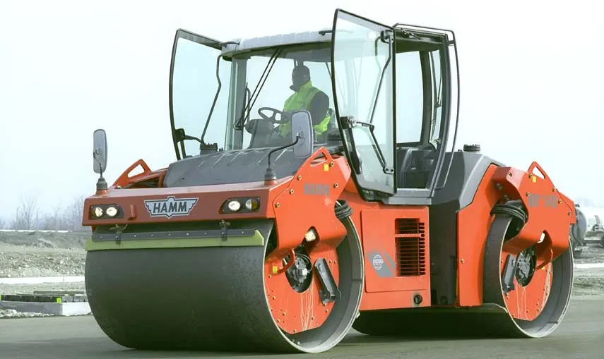
    The latest compaction technology offers users the benefits of more accurate performance by combining heat detection and compaction metering with GPS In Europe several leading manufacturers now offer more accurate compaction technology, with Ammann, BOMAG, Dynapac and Hamm all having developed advanced control packages. The technologies vary widely but the advantages are broadly similar, with smart compaction allowing the user a greater degree of control over the compaction process and delivering major reduc
  • Efficient truck loading to optimise operations
    September 14, 2017
    Specialist supplier LASE commissioned the LaseTVM tool on a road construction site for contractor EuroTransStroy at a construction site in St Petersburg, Russia. The laser-based measurement system is able to determine the volume of bulk materials such as sand and crushed stones with high accuracy. This can be used to prevent differences in loads from one truck to another, so as to ensure consistency. The system also identifies truck license plates and the load area, providing comprehensive data collation.
  • Precision narrows the gap between design software and GIS
    March 20, 2012
    Greater precision is helping blur the boundaries between GIS technology and design software While GIS map based technology has extended its range across an ever more universal spectrum of uses in the highways sector, it is increasingly showing weaknesses for engineering purposes. It is very often not accurate enough. This has not mattered previously because the GIS tool has been seen essentially as an automated version of paper based systems from the design department's point of view. Where engineers
  • Optimising paving processes with Topcon
    November 21, 2019
    The use of sophisticated machine control technology is integral to delivering high quality and productivity for concrete paving operations