Streetworks management

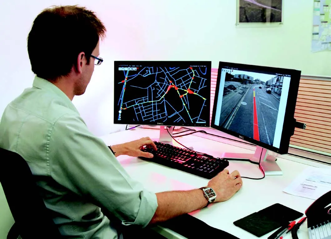
New software from Mayrise Systems is designed to allow local authorities to improve street works. Contractors use permits to restrict works to fixed dates and conditions and the latest version of the Mayrise Street Works software allows better scheduling of operations. The package can be used to manage notices, updates and the tracking of works status with automated alerts on over-running work. It also offers integrated MapNow mapping to provide a quick visual works locator, geographic sites analysis and fo
July 19, 2012 Read time: 1 min

New software from 2606 Mayrise Systems is designed to allow local authorities to improve street works. Contractors use permits to restrict works to fixed dates and conditions and the latest version of the Mayrise Street Works software allows better scheduling of operations. The package can be used to manage notices, updates and the tracking of works status with automated alerts on over-running work. It also offers integrated MapNow mapping to provide a quick visual works locator, geographic sites analysis and forward planner.

For more information on companies in this article

Related Content

  • Yotta’s Horizons and Mayrise create a route map of the world
    September 14, 2016
    Simon Topp, director of international business at software developer Yotta, explained the need for having the best possible plan in place. Highways agencies and departments the world over face a raft of complex and difficult challenges when it comes to managing and maintaining their infrastructure assets. In some countries, where natural disasters or extreme weather events are endemic, good asset management will need to be supplemented by risk and resilience planning. In the US, for example, the Feder
  • Yotta develops new tools for sophisticated GIS package
    April 25, 2013
    Highway technology and services company Yotta DCL has announced new features for Horizons. The web-based platform integrates GIS, pavement and asset management for highways authorities and agencies to use in a visualised asset management system. The new version 2.3 adds features and functionality across three modules: Explorer, Analysis and Management. Explorer allows users to view, load and visualise a range of datasets, including base network data, their condition in fine detail, plus relevant asset or co
  • Cultivate better on-site safety awareness by leveraging technology with Leica Geosystems
    August 10, 2023
    When a vital fiber-optic cable was cut during construction work in Germany, the impact was huge. There were telecom disruptions affecting the greater Frankfurt area, all departures and landings at Frankfurt Airport were suspended, and Lufthansa’s global IT system crashed. Leica Geosystems says it is vital to put in place “strategies to protect people, equipment, and assets… and to emphasise the crucial role digital solutions play in ensuring safety.”
  • GPS machine control systems reduce survey time
    February 14, 2012
    Innovative uses are being made of GPS technology, Mike Woof reports. US firms Creighton Manning Engineering and Delaney Construction have made a novel use of GPS technology in a project for the Route 85 Slingerlands bypass extension in the US.