Straight to the point for measurement

Leica Geosystems says it is introducing a major advance in site surveying. This offers a novel tilt compensation system, so that users are no longer required to hold the pole vertical. The new Leica GS18 T is claimed to be the world’s fastest GNSS RTK rover, while the firm is also offering the latest versions of Leica Captivate field software and Leica Infinity office software. With the addition of calibration-free GNSS and various upgrades to the Captivate field software and Infinity office software, use
February 6, 2018 Read time: 2 mins
More accurate measurements can be taken more quickly with the new package from Leica Geosystems
265 Leica Geosystems says it is introducing a major advance in site surveying. This offers a novel tilt compensation system, so that users are no longer required to hold the pole vertical. The new Leica GS18 T is claimed to be the world’s fastest GNSS RTK rover, while the firm is also offering the latest versions of Leica Captivate field software and Leica Infinity office software.


With the addition of calibration-free GNSS and various upgrades to the Captivate field software and Infinity office software, users are said to benefit from self-learning GNSS and engaging, intuitive software interfaces.  

Improved efficiency is claimed for the GS18 as a user no longer has to level the pole nor calibrate the system. The GS18 T is a calibration-free and tilt compensating GNSS RTK rover that is also said to be immune to magnetic disturbances. GNSS measurements can be taken from any position on site, saving users up to 20% of time in the field over conventional surveying practices according to the firm. As the only GNSS RTK rover to use precise enough inertial measuring units (IMUs) and not a compass, users can measure with a tilted pole close to buildings or metallic objects.

The GS18 T records how the pole was levelled during the measurement and stores the values, ensuring measurement traceability and quality reporting. Easy-to-use, the new GNSS RTK rover ensures users and managers increase productivity and reduce time on site.

Fully supporting the GS18 T, Leica Captivate v3.0 field software and Leica Infinity v2.4 office software now offer users a more immersive means of control on site and at the desk. Captivate allows configuration of the GS18 T for all measuring and staking applications and the visualisation of tilt compensated measurements. Measured data can be directly imported into Infinity or exported into a variety of formats suitable for CAD packages. Within Infinity, users can visualise the measured data, including the creation of reports providing traceability and quality assurance.

For more information on companies in this article

Related Content

  • Crushing and screening advances introduced
    June 10, 2019
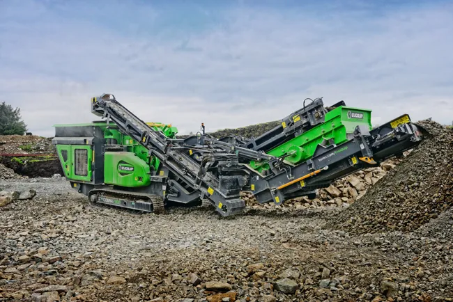
    New developments in crushing and screening equipment as well as washing technology will deliver benefits for materials production - Mike Woof writes Competition is tough in the market for quarry material processing equipment, with key firms introducing new systems that are said to boost capacity and performance. Firms offering crushing and screening equipment have expanded their respective ranges, offering additional capabilities for these segments. Mobility and versatility have been key factors in the d
  • Transtec and FHWA release Intelligent Compaction Measurement paper
    February 23, 2018
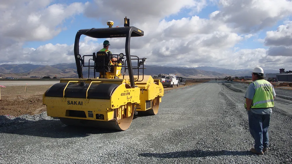
    Intelligent Compaction Measurement Values – ICMV – can be difficult to understand. What’s more, there is a lack of systematic and comprehensive documents explaining ICMV. For these reasons, the Federal Highway Administration (FHWA) and pavement engineering firm Transtec Group have released a technical brief to demystify ICMV. ICMV is a generic term for advanced measurement systems instrumented on vibratory rollers as a key components of intelligent compaction (IC) systems. It is based on the acceleration
  • Hexagon adds software firm to portfolio
    January 6, 2017
    Hexagon continues to develop its software portfolio with the acquisition of Listech, which will compliment its array of construction solutions and particularly those of its Leica Geosystems subsidiary. Listech offers software solutions that aid with data processing and help streamline workflows in land management, construction and engineering projects.
  • Hexagon adds software firm to portfolio
    January 30, 2013
    Hexagon continues to develop its software portfolio with the acquisition of Listech, which will compliment its array of construction solutions and particularly those of its Leica Geosystems subsidiary. Listech offers software solutions that aid with data processing and help streamline workflows in land management, construction and engineering projects.