Straight to the point for measurement

Leica Geosystems says it is introducing a major advance in site surveying. This offers a novel tilt compensation system, so that users are no longer required to hold the pole vertical. The new Leica GS18 T is claimed to be the world’s fastest GNSS RTK rover, while the firm is also offering the latest versions of Leica Captivate field software and Leica Infinity office software. With the addition of calibration-free GNSS and various upgrades to the Captivate field software and Infinity office software, use
February 6, 2018 Read time: 2 mins
More accurate measurements can be taken more quickly with the new package from Leica Geosystems
265 Leica Geosystems says it is introducing a major advance in site surveying. This offers a novel tilt compensation system, so that users are no longer required to hold the pole vertical. The new Leica GS18 T is claimed to be the world’s fastest GNSS RTK rover, while the firm is also offering the latest versions of Leica Captivate field software and Leica Infinity office software.


With the addition of calibration-free GNSS and various upgrades to the Captivate field software and Infinity office software, users are said to benefit from self-learning GNSS and engaging, intuitive software interfaces.  

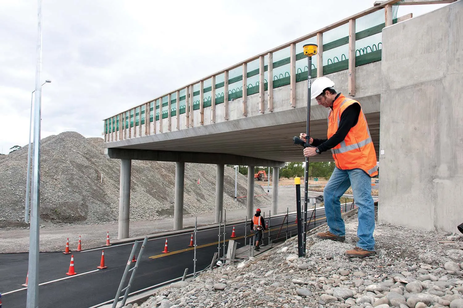
Improved efficiency is claimed for the GS18 as a user no longer has to level the pole nor calibrate the system. The GS18 T is a calibration-free and tilt compensating GNSS RTK rover that is also said to be immune to magnetic disturbances. GNSS measurements can be taken from any position on site, saving users up to 20% of time in the field over conventional surveying practices according to the firm. As the only GNSS RTK rover to use precise enough inertial measuring units (IMUs) and not a compass, users can measure with a tilted pole close to buildings or metallic objects.

The GS18 T records how the pole was levelled during the measurement and stores the values, ensuring measurement traceability and quality reporting. Easy-to-use, the new GNSS RTK rover ensures users and managers increase productivity and reduce time on site.

Fully supporting the GS18 T, Leica Captivate v3.0 field software and Leica Infinity v2.4 office software now offer users a more immersive means of control on site and at the desk. Captivate allows configuration of the GS18 T for all measuring and staking applications and the visualisation of tilt compensated measurements. Measured data can be directly imported into Infinity or exported into a variety of formats suitable for CAD packages. Within Infinity, users can visualise the measured data, including the creation of reports providing traceability and quality assurance.

For more information on companies in this article

Related Content

  • Premiere in the Black Forest
    October 5, 2023
    One of the steepest sections of the B 500, an important road in the southern Black Forest, had to be renewed in the summer of 2023 – more precisely: the first kilometres behind the Triberg town sign, past the famous waterfalls. Asphalt paving specialists from Gebrüder Bantle GmbH & Co. KG were commissioned to resurface the carriageway.
  • Topcon Positioning Systems unveils Hyper XR: High-Precision GNSS receiver redefines field accuracy
    May 19, 2025

    Global Product Launch: Topcon’s new Hyper XR GNSS receiver is changing the game in surveying, construction, and geospatial work. With full satellite access, 60° tilt compensation, and calibration-free setup, it delivers unmatched precision—even in challenging environments. Paired with the FC-6400 Windows 11 tablet, this streamlined system offers intuitive workflows and cutting-edge performance. 

    Learn how Topcon is pushing boundaries with its most advanced receiver yet. 

  • Soil compaction efficiency is improving
    June 2, 2020
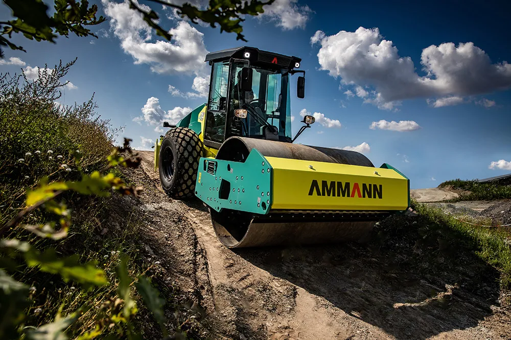
    The latest machines offers gains in soil compaction efficiency
  • Trimble technology centre stage at CONEXPO-CON/AGG 2014
    March 27, 2014
    The Trimble Quantm alignment planning system, on show at CONEXPO/CON-AGG 2014, allows road designers to cut planning time and deliver projects with little environmental and social impact at a reduced cost. The system analyses millions of alignment alternatives and returns a range of options to the planning team for consideration. When new data becomes available the Quantm system can quickly recalculate more alignment options.