Straight to the point for measurement

Leica Geosystems says it is introducing a major advance in site surveying. This offers a novel tilt compensation system, so that users are no longer required to hold the pole vertical. The new Leica GS18 T is claimed to be the world’s fastest GNSS RTK rover, while the firm is also offering the latest versions of Leica Captivate field software and Leica Infinity office software. With the addition of calibration-free GNSS and various upgrades to the Captivate field software and Infinity office software, use
February 6, 2018 Read time: 2 mins
More accurate measurements can be taken more quickly with the new package from Leica Geosystems
265 Leica Geosystems says it is introducing a major advance in site surveying. This offers a novel tilt compensation system, so that users are no longer required to hold the pole vertical. The new Leica GS18 T is claimed to be the world’s fastest GNSS RTK rover, while the firm is also offering the latest versions of Leica Captivate field software and Leica Infinity office software.


With the addition of calibration-free GNSS and various upgrades to the Captivate field software and Infinity office software, users are said to benefit from self-learning GNSS and engaging, intuitive software interfaces.  

Improved efficiency is claimed for the GS18 as a user no longer has to level the pole nor calibrate the system. The GS18 T is a calibration-free and tilt compensating GNSS RTK rover that is also said to be immune to magnetic disturbances. GNSS measurements can be taken from any position on site, saving users up to 20% of time in the field over conventional surveying practices according to the firm. As the only GNSS RTK rover to use precise enough inertial measuring units (IMUs) and not a compass, users can measure with a tilted pole close to buildings or metallic objects.

The GS18 T records how the pole was levelled during the measurement and stores the values, ensuring measurement traceability and quality reporting. Easy-to-use, the new GNSS RTK rover ensures users and managers increase productivity and reduce time on site.

Fully supporting the GS18 T, Leica Captivate v3.0 field software and Leica Infinity v2.4 office software now offer users a more immersive means of control on site and at the desk. Captivate allows configuration of the GS18 T for all measuring and staking applications and the visualisation of tilt compensated measurements. Measured data can be directly imported into Infinity or exported into a variety of formats suitable for CAD packages. Within Infinity, users can visualise the measured data, including the creation of reports providing traceability and quality assurance.

For more information on companies in this article

Related Content

  • Yotta upgrades asset management package
    May 19, 2015
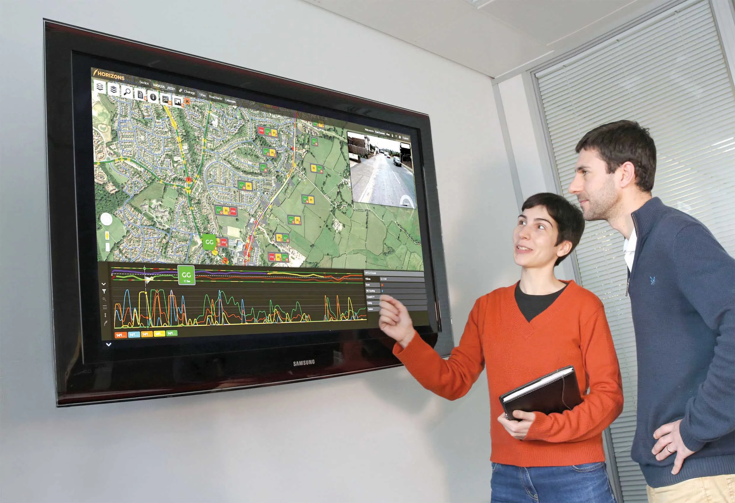
    Yotta is now offering the latest version of its Horizons visualised asset management platform. Version 2.6 of the package is said to provide a better user experience with improved visualisation. The latest version of the cloud-based solution also offers improved transparency with upgraded reporting providing clear and auditable work trails. Users of Horizons 2.6 can now directly link documents and images in Horizons, improving access to detailed information about a specific asset through the use of phot
  • Leica Cyclone teams up with NCTech’s iSTAR camera database
    January 19, 2016
    Users of Leica Cyclone, a 3D point cloud processing software, can now automatically import and align high-dynamic range (HDR) data from NCTech’s iSTAR camera database. The result is enhanced images delivered faster and easier, according to both companies. “It is also the accuracy to which these images fit the 3D point cloud data that is paramount. NCTech’s iSTAR camera produces high-quality HDR imaging at the accuracy everyone expects,” said Faheem Khan, vice president, business development for Leica Geosys
  • Positioning tools from Topcon
    November 15, 2012
    Topcon is offering an array of new tools that can improve surveying and machine control capabilities for contractors. Light and compact, the B110 dual-frequency positioning receiver board features the new Vanguard ASIC system and can support 226 universal channels for GPS, GLONASS and Galileo tracking and scalable positioning. The B110 board’s small size, low power consumption and versatile communication interfaces make it easy to integrate into any precise positioning application. It features a high perfor
  • Advanced GNSS capabilities from Topcon
    May 15, 2019
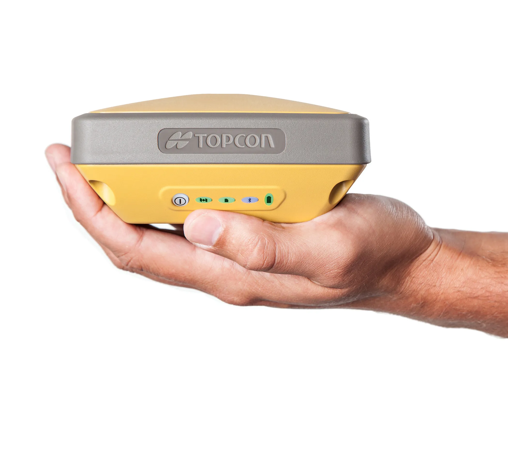
    Topcon claims that its HiPer VR GNSS receiver is compact, light and benefits from advanced GNSS technology. The firm says that the rugged design is built to withstand harsh construction environments. Using Topcon’s sophisticated GNSS chipset with Universal Tracking Channels technology, the HiPer VR tracks every satellite signal. The compact, rugged design also features an integrated IMU and eCompass. The HiPer VR can be used for static or kinematic GNSS post-processed surveys: as a network RTK rover with