Spot on with Trimble’s X7 3D scanner

The X7 solution was jointly developed by Trimble and Boston Dynamics.
By Mike Woof November 25, 2021 Read time: 2 mins
Autonomous surveying and scanning is possible using the new package from Trimble

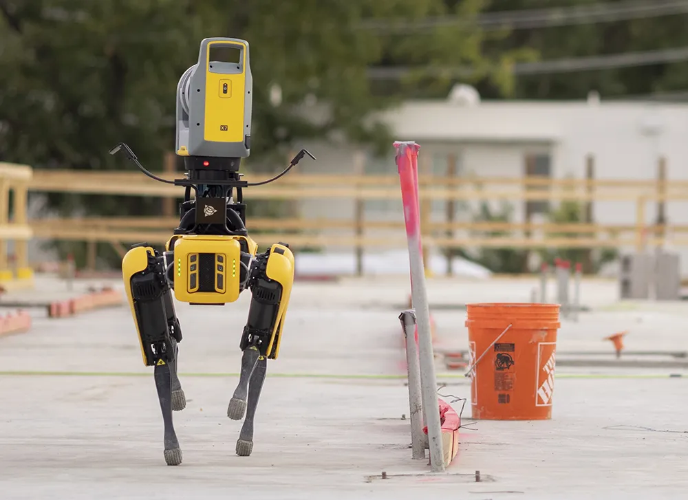
Remote surveying and scanning can be achieved using the autonomous robotic system available from Trimble. The package combines the Spot robot autonomous rover unit with the Trimble X7 3D laser scanner and Trimble FieldLink software.

This solution has been jointly developed between Trimble and Boston Dynamics and allows autonomous operation on construction sites. The system takes advantage of the robot's ability to navigate challenging, dynamic and potentially unsafe environments. Trimble's 3D data capture technology can deliver a continuous flow of information between the field and the office for documentation of jobsite progress.

The innovative package allows users to make important decisions, rather than waiting for the information to be relayed to project staff. The integration is focused on the automated capture of field construction data through the use of Trimble 3D capture technology and the Spot robot. The autonomous workflow for the X7 laser scanner uses fully integrated Spot robot controls in FieldLink software to create a predefined path of waypoints for Spot to follow and collect laser scans.

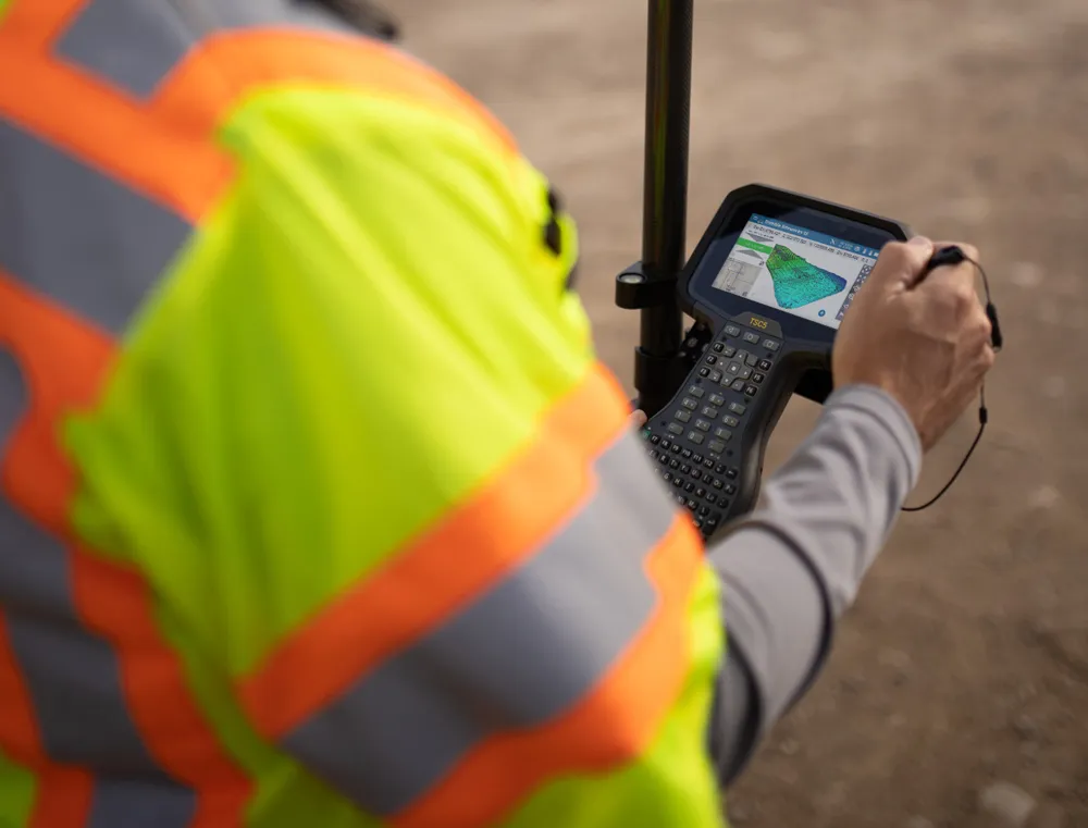
Laser scans collected using the X7 scanner and the Spot robot can be tied to a jobsite project coordinate system, as well as individual scan stations. The data is collected, and then made into a composite point cloud in real-time on the Trimble tablet controller before leaving the site. While performing autonomous operations, Spot's docking station enables in-field charging of batteries on both the robot and the X7 3D laser scanner, and also provides the continuous transfer of data through a Gigabit Ethernet connection to the office.

For more information on companies in this article

Related Content

  • Information technology and transport development
    February 16, 2012
    A team of eminent Russian specialists* introduce exciting new information technologies, such as the Internet of Things, and foresee their promising applications in the field of transport infrastructure development
  • IBI’s Routemapper charts new territory with Highways England
    September 14, 2016
    Mapping the asset High-speed data collection just got faster for England’s newly created strategic roads operator Highways England’s establishment as a publicly held company in 2015 created a need for a highly accurate asset inventory. This was potentially very costly and had serious safety implications. As well as its relationships with numerous managing agents and contractors, assets include 35,300km of highway, 12,100km of earthworks, 23,200km of safety fences, 150,000 technology assets and sig
  • Sharing point cloud data with Topcon
    March 12, 2018
    A new package from Topcon Positioning Group can help with collaboration and sharing for 3D point cloud data. This web-based service is for integration with the MAGNET Collage desktop mass data processing software — MAGNET Collage Web. According to the firm, the MAGNET Collage Web allows users to access data through a web browser that integrates with the MAGNET Collage Office version. The package means that users can publish and share mass data maps in a user-friendly and intuitive 3D web-based environment
  • Surveying software from Trimble
    June 15, 2021
    Trimble has introduced its Siteworks SE Starter Edition, an entry-level, easy-to-use construction surveying software.