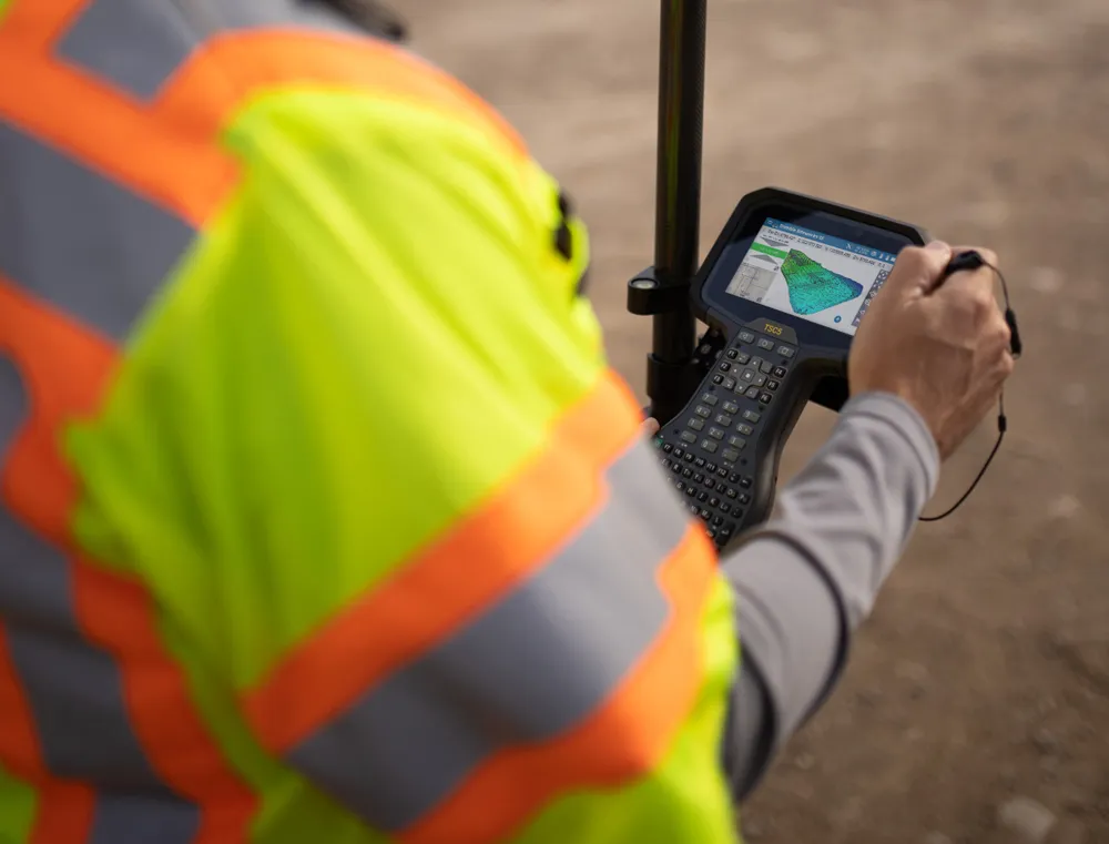
Surveying software from Trimble

Trimble has introduced its Siteworks SE Starter Edition, an entry-level, easy-to-use construction surveying software.
June 15, 2021 Read time: 2 mins
Trimble is now offering a new version of its Siteworks package

Using a construction GNSS receiver, site personnel can check a grade, slope or alignment and navigate the project more accurately and in less time than with conventional survey methods. Budget-conscious contractors can also achieve a quick return on investment by giving more site personnel access to survey technology, boosting productivity and efficiency in the field.

The Siteworks SE Software is a simplified version of the firm’s existing Siteworks Software. It is aimed at users who do not require a full feature set and are interested in a lower-cost version to connect to GNSS only. The same graphics and features found in Siteworks make the software easy to learn.

Using the same data folder structure, file formats and workflows, the Siteworks SE Software is fully compatible with the Siteworks Software. Contractors can also upgrade to the full version.

The Siteworks SE Software can be used by contractors who want to determine their location on a project, see cut/fill values to a design surface or alignment, or visualise constructible models in 3D. Users can measure feature points, lines and areas, or navigate to points, lines and alignments, and create PDF reports. A special mode allows users to capture accurate measurements on steep slopes from a moving vehicle. Trimble Siteworks SE is compatible with a wide range of GNSS hardware configurations to meet the contractor’s business needs and budget requirements.

For more information on companies in this article

Related Content

  • Latest GIS and software tools improve operations
    February 24, 2012
    Innovative GIS and software solutions are coming to market from the three key market players - Mike Woof reports Competition is strong in the field for GIS and surveying systems as well as the associated software. The three major players in the sector, Leica Geosystems, Topcon and Trimble, all invest heavily in research and development and continue to roll out new solutions for construction customers that will boost the efficiency of surveying as well as overall project implementation.
  • Sophisticated software solutions offering surveying innovation and construction efficiency
    August 28, 2014
    An array of new software tools will deliver greater efficiencies to construction companies – Mike Woof writes. Sophisticated software systems are delivering advanced solutions to traditional construction tasks. Key developments have been made by major players in the sector, such as Bentley Systems, Fugro Roadware, Leica Geosystems and Topcon Sokkia. From Bentley comes a new package that will help road construction activities in urban areas featuring a heavy concentration of underground utilities. This n
  • Latest innovations in GPS and machine control
    February 22, 2012
    Modern satellite technology is making life easier for everyone on the construction site and in the office. Most major equipment manufacturers are now integrating GPS machine control systems into the design of excavators, bulldozers, pavers, and motor graders. For stake-less work it is a major component for automatic grading, surveying, and excavating systems, with contractors and construction companies using GPS machine control systems to improve operations.
  • GPS machine control technology aids productivity
    February 21, 2012
    GPS technology offers contractors many benefits and product offerings are growing more diverse, Mike Woof reports. The benefit of GPS technology for the construction industry cannot be overstated.