Sophisticated scanning tool from Leica Geosystems

A new laser scanning tool from Leica Geosystems offers accurate and fast 3D imaging laser scanning capabilities. The Leica BLK360 is said to be compact and easy to use, offering powerful spherical image capture duties. The firm says that the unit allows professionals to capture 360° imagery within minutes.
November 8, 2017 Read time: 1 min
A new laser scanning tool from 265 Leica Geosystems offers accurate and fast 3D imaging laser scanning capabilities. The Leica BLK360 is said to be compact and easy to use, offering powerful spherical image capture duties. The firm says that the unit allows professionals to capture 360° imagery within minutes.


Users place the lightweight BLK360 on a level surface or tripod and, with the push of a single button, it captures the HDR spherical imagery and takes a 360,000 point/second laser scan. Getting measurements right first time, the BLK360 features +-4mm accuracy at 10m and an overall 0.6 - 60m range. Within three minutes, the spherical image and laser scan is completed and ready to view in the 685 Autodesk ReCap Pro for mobile app, which runs on an iPad Pro. From there, users can take measurements, add markup and annotations or share onsite data in the office.

For more information on companies in this article

Related Content

  • Efficient stockpile and site monitoring
    October 23, 2017
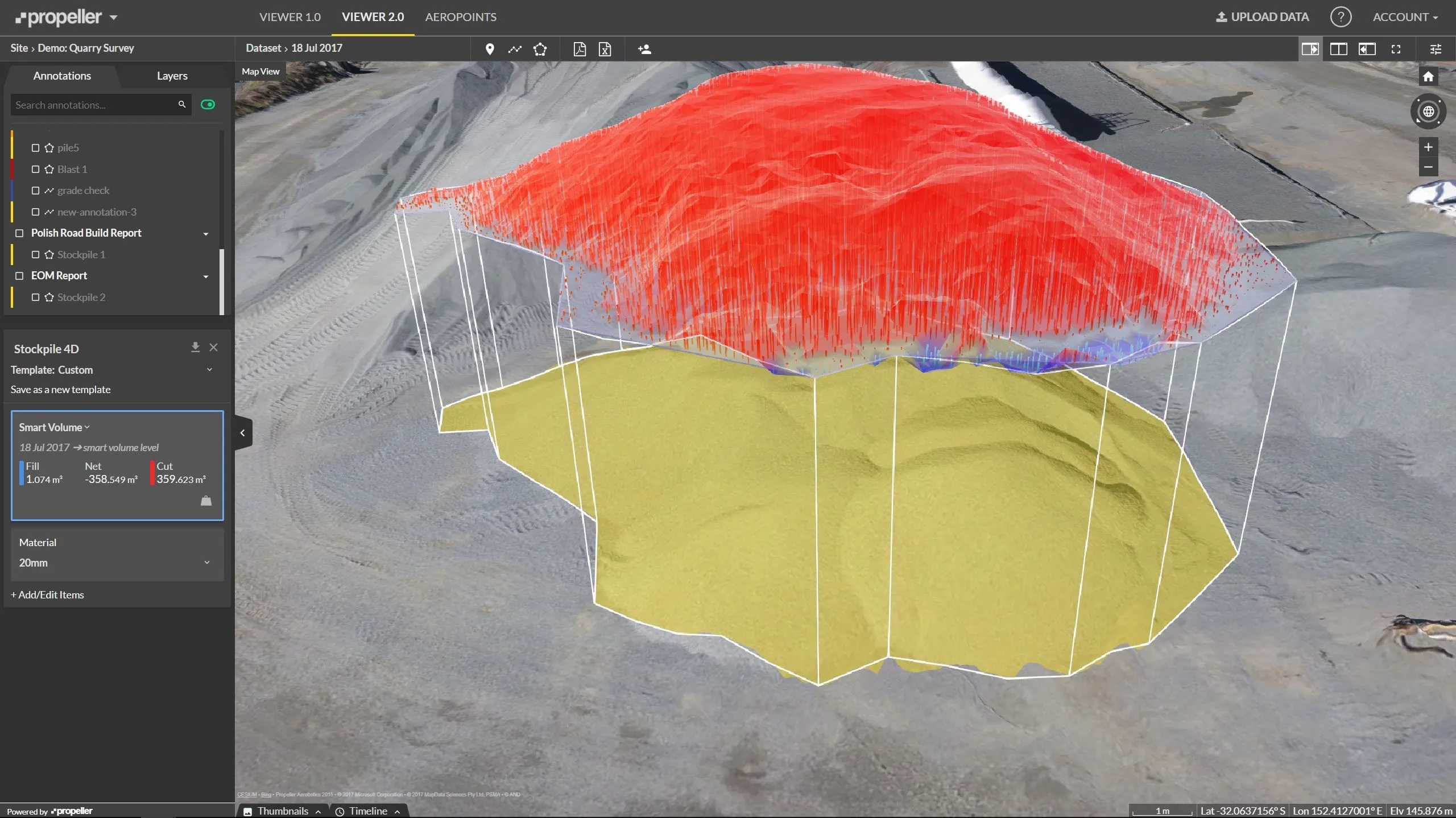
    Effective monitoring of aggregates stockpiles as well as face excavation can deliver greater quarrying efficiency. One of the latest innovations in quarrying is the use of drones, which provide major benefits for optimising operations. The use of affordable drone hardware and software solutions can help reduce stockpile inventory time by as much as 70%. Through the recent partnership between Trimble and Propeller, drone data can now be an everyday tool in quarries by proving a transformational impact
  • Machine control from Topcon for compact equipment
    March 17, 2023
    A new system from Topcon Positioning is taking the firm into a new market segment. Mark Contino is vice-president of North American Retail Distribution at Topcon Positioning Systems and commented that the technology is now well-accepted on larger projects, “We’ve been doing GPS since the late 1990s. It’s not new anymore. Everyone uses it now.”
  • Advanced concrete slipforming technology coming to market
    August 1, 2019
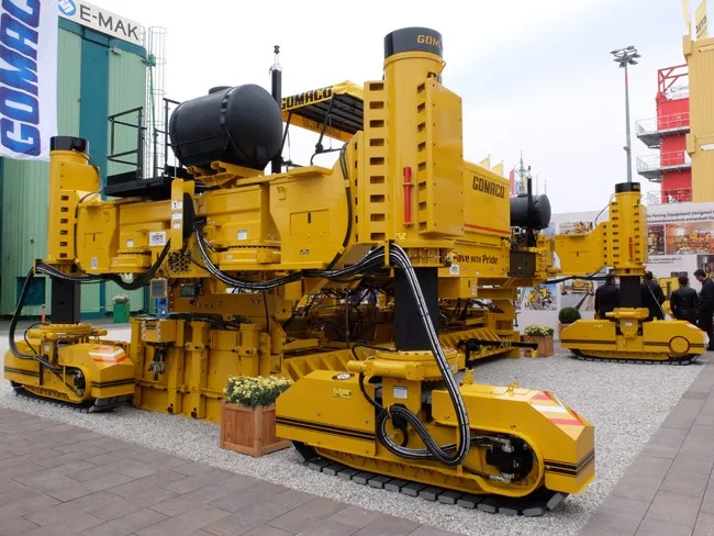
    New concrete slipforming technology is said to offer increased performance over earlier generation equipment - Mike Woof writes
  • Cloud-based solution from Leica Geosystems
    March 9, 2017
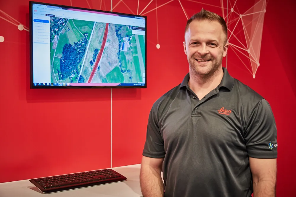
    Leica Geosystems has released the new Leica ConX at CONEXPO-CONN/AGG. ConX is a cloud solution and web interface to seamlessly integrate, manage and analyse surveying and machine control workflows for heavy construction projects.