Sophisticated georeferencing technology from Applanix

Applanix is now offering the Trimble AP+ Air OEM solution for Direct Georeferencing of airborne sensor data.
November 24, 2020 Read time: 2 mins
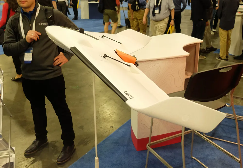
Applanix is now offering new georeferencing technology that can be used for data recovered from UAVs

The tool allows users to generate maps and 3D models without the use of ground control points. The Trimble AP+ Air can be used for manned platforms as well as on unmanned aerial vehicles (UAVs). It can be used with almost all airborne remote sensors, including photogrammetric cameras, LiDAR, hyper and multi-spectral cameras, and synthetic aperture radar.

Using advanced compact, low-power hardware, the Trimble AP+ Air features dual embedded survey-grade GNSS chipsets, an onboard inertial measurement unit (IMU), an external IMU, and the all-new Applanix IN-Fusion+ GNSS-aided inertial firmware. It is configurable to support the Direct Georeferencing accuracy demands of low-flying UAVs to high-altitude manned platforms.

The firm is part of the Trimble Group and has taken advanced features of Applanix Direct Georeferencing and Trimble GNSS technology and packaged these into a compact and versatile solution, according to Applanix. The company adds that systems integrators can embed a hardware solution that can be configured to meet different Direct Georeferencing needs of a specific sensor type.

The Trimble AP+ Air is supported by the Applanix POSPac MMS post-processing software, which features CenterPoint RTX post-processing for centimetre-level positioning without base stations.

For LiDAR integrators, the Trimble AP+ Air is compatible with the POSPac MMS LiDAR QC Tools for computing boresight as well as adjusting the relative accuracy of the POSPac trajectory being used to generate the point cloud. For integration with cameras, the solution is supported by the POSPac MMS Photogrammetry Tools for computing boresight and performing camera IO quality control.

For more information on companies in this article

Related Content

  • Real time site monitoring technology
    July 19, 2012
    Leica Geosystems is broadening its site monitoring technology with the introduction of the GeoMoS package. This can be linked to the firm's existing GNSS Spider software to offer an array of TPS and GNSS monitoring tools. Combined, these tools provide a web-based service for visualisation and analysis of monitoring. Authorised users can access a monitoring project using a web browser, pocket PC or mobile phone. Using the GeoMoS Web service, graphs and views can be customised and be tailored to the needs of
  • New racetrack benefits from new technology
    December 3, 2014
    The use of new technology has helped pave the way for a new US racetrack Saving construction costs and meeting tight tolerances, sophisticated technology has helped deliver a quality racetrack surface within tight time constraints. The National Corvette Museum (NCM) in Bowling Green, Kentucky, lies close to Interstate 65 and now features a brand new racetrack, constructed with the assistance of the latest machine control technologies.
  • Advanced machine control solutions
    February 15, 2012
    Trimble has developed an array of smart solutions for GPS machine control applications, which can now be installed on a wide variety of machines from different manufacturers. The company has long had a close relationship with Caterpillar but can also install units on machines from a range of manufacturers including Case, John Deere, Komatsu, Liebherr, Roadtec and Volvo. The firm's range has developed beyond just the GPS hardware though and includes sophisticated software, which can be loaded onto a hand-hel
  • Key technology moves for Leica Geosystems
    July 9, 2024
    Leica Geosystems is developing its product offerings with key moves.