Sophisticated base station receiver

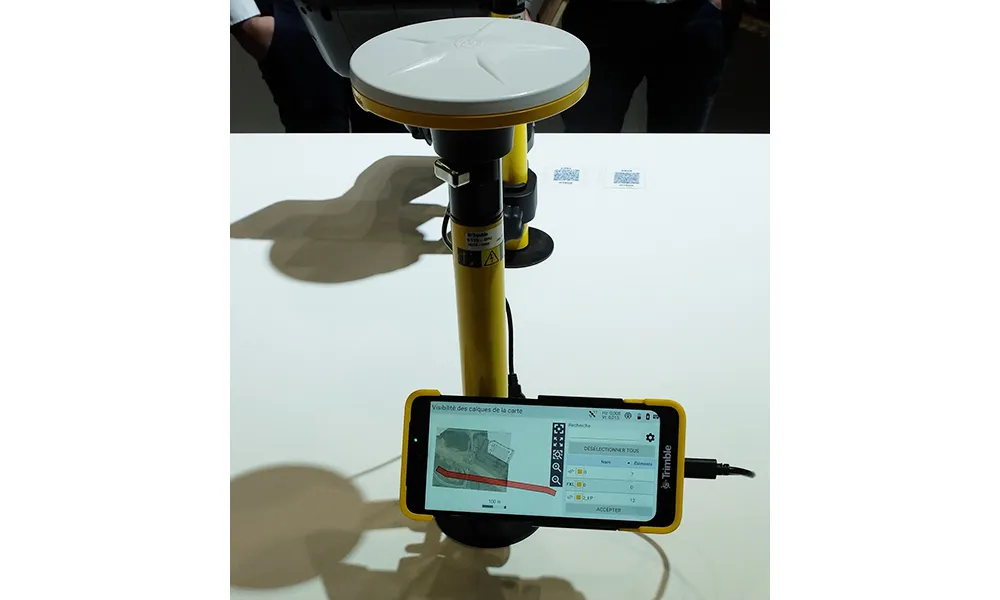
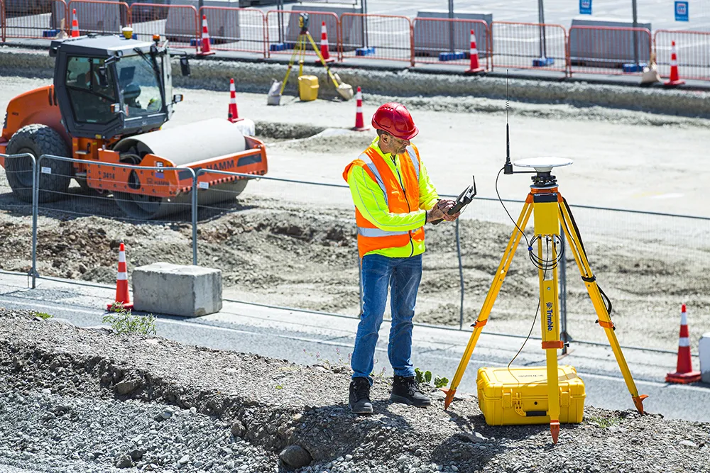
Trimble has introduced the R750 GNSS Modular Receiver, a connected base station for use in civil construction and geospatial applications. The R750 is said to provide improved base station performance, giving contractors and surveyors more reliable and precise positioning in the field.
March 1, 2022 Read time: 2 mins
Trimble is now offering a sophisticated new base station receiver system

The R750 can be used to broadcast Real-Time Kinematic (RTK) corrections for a wide range of applications, including seismic surveying, monitoring and civil construction. Access to available satellite signals is said to provide improved performance and reliability when used with a Trimble ProPoint Global Navigation Satellite System (GNSS) rover. ProPoint can boost performance in challenging GNSS conditions, with groundbreaking signal management.

Featuring a built-in LTE modem, the R750 offers corrections via the internet, making it easier to extend the range of a base station with cellular coverage. The built-in modem also provides remote access and management, delivery of email alerts and notifications, and data transfer capabilities between the field and the office.

The R750 is said to deliver better satellite tracking and connectivity. It offers the ability to manage a base station remotely and receive status notifications about the unit while in the office. This reduces downtime and the need to travel to the site.

For monitoring applications, the R750 provides precision capabilities for construction and geospatial customers deploying automated systems. Combined with Trimble 4D Control real-time monitoring software, users can capture high-frequency 3D positions for alarming and reporting on movement. The R750 offers multiple communication methods that provide flexibility for customers on how they deploy their monitoring system.

For more information on companies in this article

Related Content

  • 3D PAVING comes to India and is boosting slipforming efficiency
    December 19, 2016
    Situated on India’s northern frontier, the state of Jammu and Kashmir is world-renowned for its aesthetic vistas and captivating landscapes. The arterial roads connecting the city of Jammu to that of Srinagar is a challenge to maintain, being constantly exposed to harsh weather and overburdened with vehicular movement. Leica Geosystems has been involved in the Chenani-Nashri tunnel project, India’s longest road tunnel and which will be part of an alternate route in the region
  • Xylem saves operators pump admin time
    March 10, 2017
    Pump and dewatering specialist Xylem has developed its remote control and monitoring system, Godwin Field Smart Technology (FST), for use by contractors. Showcased at CONEXPO-CON/AGG, the technology can reduce the resource needed to operate and maintain pumps and provide a record of the pump’s operation.
  • Trimble and OEMs extend technology deal
    December 13, 2024
    Trimble is extending its technology deals with Caterpillar and John Deere.
  • Road construction software innovations
    February 13, 2012
    A range of key software innovations are now available for road construction applications from various suppliers - Adrian Greeman writes. Two significant and highly economic alternatives are now available to the major CAD providers both from Belgium and both offering interesting features. First is Pythagoras, which describes itself as a modern CAD program specially designed for topographical applications which include land surveying, road design and city planning.