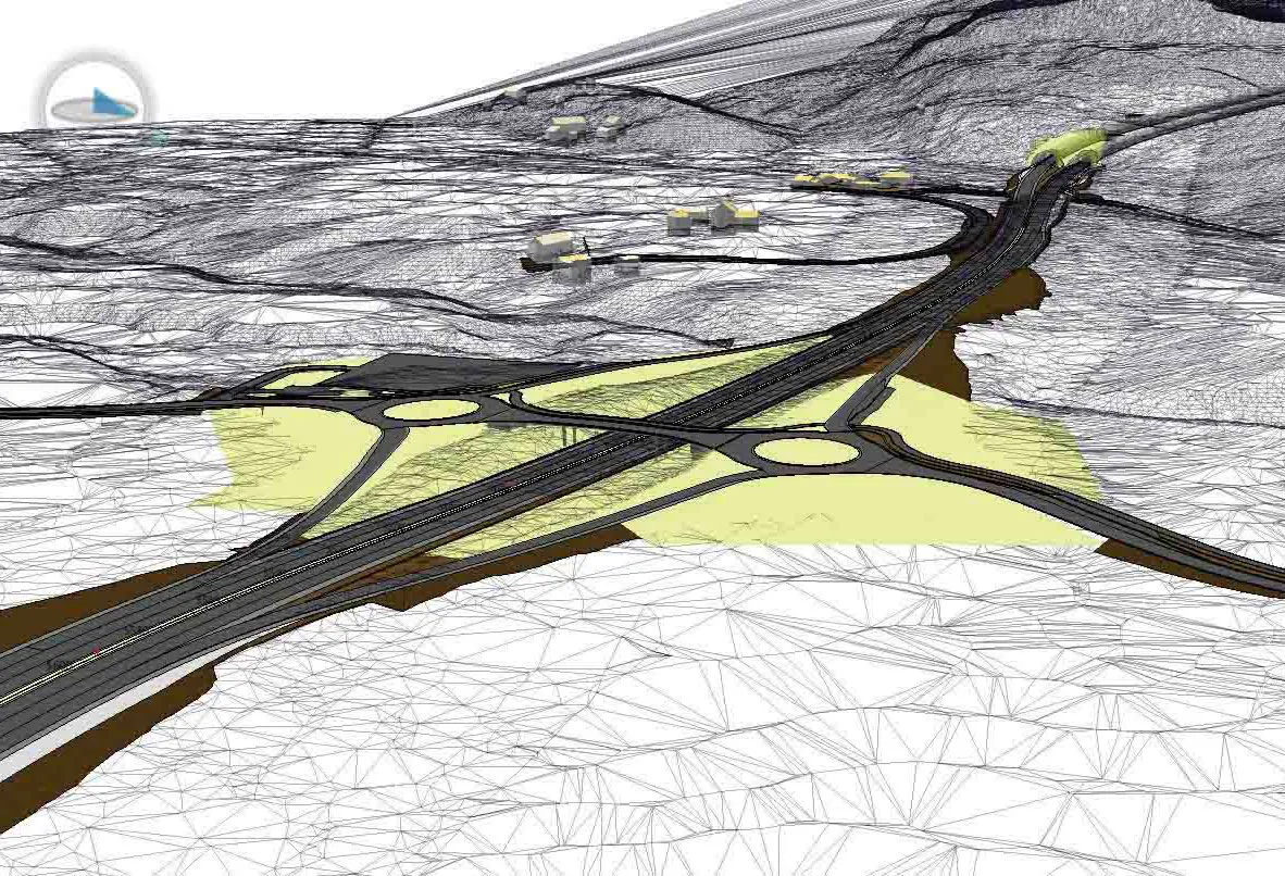
Sharing point cloud data with Topcon

A new package from Topcon Positioning Group can help with collaboration and sharing for 3D point cloud data. This web-based service is for integration with the MAGNET Collage desktop mass data processing software — MAGNET Collage Web. According to the firm, the MAGNET Collage Web allows users to access data through a web browser that integrates with the MAGNET Collage Office version. The package means that users can publish and share mass data maps in a user-friendly and intuitive 3D web-based environment
March 12, 2018 Read time: 2 mins
A new package from Topcon Positioning Group can help with collaboration and sharing for 3D point cloud data. This web-based service is for integration with the MAGNET Collage desktop mass data processing software — MAGNET Collage Web.


According to the firm, the MAGNET Collage Web allows users to access data through a web browser that integrates with the MAGNET Collage Office version. The package means that users can publish and share mass data maps in a user-friendly and intuitive 3D web-based environment. The firm also says that the solution offers better access to point cloud models by eliminating the need for installed software with high-performance computing requirements.

MAGNET Collage is intended to offer a single environment solution for professionals processing and publishing data from laser scanners, mobile mapping devices, modern paving scanners, and surveying tools. 342 Topcon says that the web service features fast-loading point cloud visualisation combined with high-fidelity rendering to reveal precision data on demand.  

The firm says that this service removes previous barriers for project teams looking to share 3D point cloud models inside their company or as a service to others.

For more information on companies in this article

Related Content

  • Quantm is making Trimble one of the world’s leading BIM market challengers
    December 19, 2016
    When Trimble first launched its Quantm software system a decade or so ago, the company was making an important step into end-to-end BIM modelling. The rules of the game were changing fast. Adrian Greeman reports When survey and machine control equipment maker Trimble bought the Australian road planning software system Quantm in 2006 it might not have realised quite what it was leading to. A decade later, Quantm is helping to put Trimble among the big players in the BIM (building information modelling) en
  • Bentley Systems expanding product range and operations
    October 16, 2018
    Software specialist Bentley Systems is expanding its range of software products both through key acquisitions and in-house developments, as well as developing its partnerships with other firms. Two firms Bentley has bought are UK company Legion, which is a leading provider of advanced pedestrian modelling software, and the Swedish company Agency9, which offers city-scale digital twin cloud services that will help enable smart city development. Bentley is itself introducing its iTwin Services platform, for
  • Topcon and Faro scan new horizons
    August 13, 2012
    Topcon Europe Positioning and FARO has signed a partnership agreement for the distribution of FARO Laser Scanner Focus3D in most European countries, the Middle East and Africa. Sander Jongeleen, product manager for mobile mapping at Topcon Europe Positioning, said: “The Focus3D has been designed for close range laser scanning, and is equipped with a very intuitive user interface. Sitting alongside our GLS-1500, the Focus3D will allow our distribution network to address every segment of the terrestrial scann
  • Topcon’s advanced software for construction
    December 12, 2018
    Topcon Positioning is introducing the latest version of its MAGNET 5 software. This new version includes upgrades to the MAGNET Field, Office and Enterprise applications designed for advanced performance, third-party integration, and construction planning and oversight capability. The package offers new flexible display options and additional customisable data labels. Additionally, operators can view GNSS status when the controller is connected to a total station in Hybrid mode, and show offsets as a visua