Sharing point cloud data with Topcon

A new package from Topcon Positioning Group can help with collaboration and sharing for 3D point cloud data. This web-based service is for integration with the MAGNET Collage desktop mass data processing software — MAGNET Collage Web. According to the firm, the MAGNET Collage Web allows users to access data through a web browser that integrates with the MAGNET Collage Office version. The package means that users can publish and share mass data maps in a user-friendly and intuitive 3D web-based environment
March 12, 2018 Read time: 2 mins
A new package from Topcon Positioning Group can help with collaboration and sharing for 3D point cloud data. This web-based service is for integration with the MAGNET Collage desktop mass data processing software — MAGNET Collage Web.


According to the firm, the MAGNET Collage Web allows users to access data through a web browser that integrates with the MAGNET Collage Office version. The package means that users can publish and share mass data maps in a user-friendly and intuitive 3D web-based environment. The firm also says that the solution offers better access to point cloud models by eliminating the need for installed software with high-performance computing requirements.

MAGNET Collage is intended to offer a single environment solution for professionals processing and publishing data from laser scanners, mobile mapping devices, modern paving scanners, and surveying tools. 342 Topcon says that the web service features fast-loading point cloud visualisation combined with high-fidelity rendering to reveal precision data on demand.  

The firm says that this service removes previous barriers for project teams looking to share 3D point cloud models inside their company or as a service to others.

For more information on companies in this article

Related Content

  • Topcon and Bentley: integration between MAGNET 4.0 and ProjectWise
    June 7, 2016
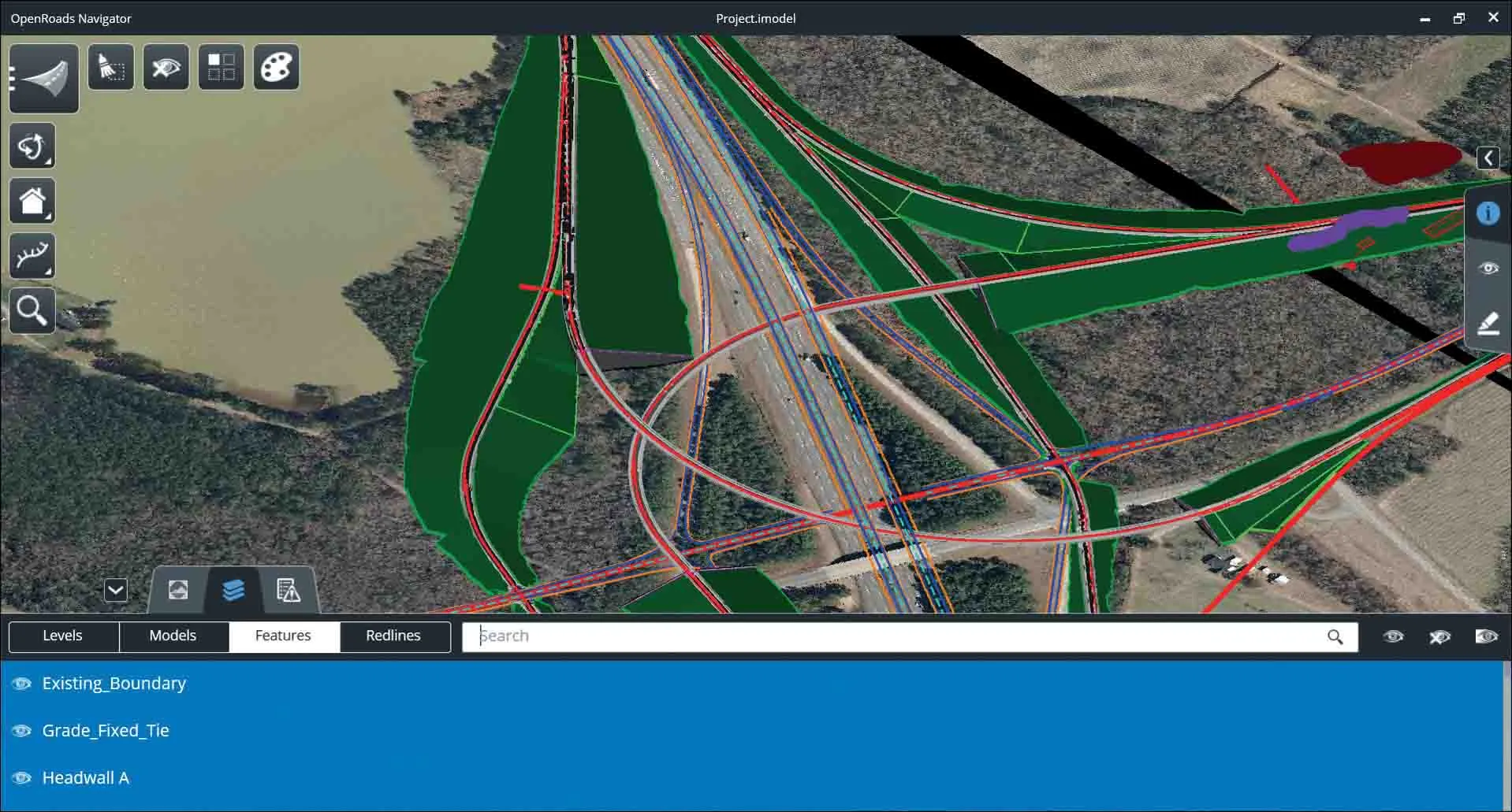
    Topcon Positioning Group and Bentley Systems have set up direct communication between Bentley’s design applications and Topcon mobile work force products with the upcoming MAGNET 4.0 release. With the direct communication from MAGNET Enterprise to Bentley’s ProjectWise, users of Topcon’s family of MAGNET and 3D-MC software solutions can now, while working in the field, access or receive i-models created by Bentley’s OpenRoads design modeling technology. By the end of June, survey data and as-built
  • Road construction software innovations
    February 13, 2012
    A range of key software innovations are now available for road construction applications from various suppliers - Adrian Greeman writes. Two significant and highly economic alternatives are now available to the major CAD providers both from Belgium and both offering interesting features. First is Pythagoras, which describes itself as a modern CAD program specially designed for topographical applications which include land surveying, road design and city planning.
  • Bentley Systems launches OpenRoads Designer CONNECT Edition
    April 13, 2017
    The beginning of this year saw Bentley Systems launch a major advanced comprehensive global tool for today’s increasingly widespread BIM environment. Christmas 2016 came early for Bentley's global clients. In fact, they had a hint of what was going to be under their tree come the celebrations in December. On November 1, at Bentley’s annual global client gathering and awards event Year in Infrastructure Conference in London, the solutions provider announced that OpenRoads Designer CONNECT Edition would be a
  • Topcon expanding operations with acquisition
    February 21, 2018
    Topcon Corporation has acquired all the outstanding shares of ClearEdge3D for an undisclosed sum. This deal adds a technology leader in the engineering and construction software industry to Topcon’s portfolio. ClearEdge3D’s EdgeWise software is intended to speed as-built modeling workflows by utilising automated feature extraction algorithms and other patented technologies. Its Verity construction verification software compares laser scan point cloud data of recently completed construction work against