Sharing point cloud data with Topcon

A new package from Topcon Positioning Group can help with collaboration and sharing for 3D point cloud data. This web-based service is for integration with the MAGNET Collage desktop mass data processing software — MAGNET Collage Web. According to the firm, the MAGNET Collage Web allows users to access data through a web browser that integrates with the MAGNET Collage Office version. The package means that users can publish and share mass data maps in a user-friendly and intuitive 3D web-based environment
March 12, 2018 Read time: 2 mins
A new package from Topcon Positioning Group can help with collaboration and sharing for 3D point cloud data. This web-based service is for integration with the MAGNET Collage desktop mass data processing software — MAGNET Collage Web.


According to the firm, the MAGNET Collage Web allows users to access data through a web browser that integrates with the MAGNET Collage Office version. The package means that users can publish and share mass data maps in a user-friendly and intuitive 3D web-based environment. The firm also says that the solution offers better access to point cloud models by eliminating the need for installed software with high-performance computing requirements.

MAGNET Collage is intended to offer a single environment solution for professionals processing and publishing data from laser scanners, mobile mapping devices, modern paving scanners, and surveying tools. 342 Topcon says that the web service features fast-loading point cloud visualisation combined with high-fidelity rendering to reveal precision data on demand.  

The firm says that this service removes previous barriers for project teams looking to share 3D point cloud models inside their company or as a service to others.

For more information on companies in this article

Related Content

  • Yotta develops new tools for sophisticated GIS package
    April 25, 2013
    Highway technology and services company Yotta DCL has announced new features for Horizons. The web-based platform integrates GIS, pavement and asset management for highways authorities and agencies to use in a visualised asset management system. The new version 2.3 adds features and functionality across three modules: Explorer, Analysis and Management. Explorer allows users to view, load and visualise a range of datasets, including base network data, their condition in fine detail, plus relevant asset or co
  • Supergeo offers GIS training tool
    April 27, 2015
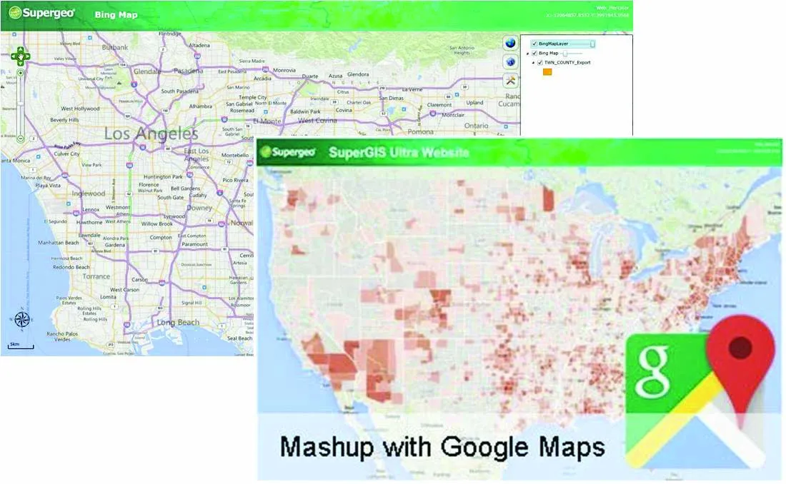
    Supergeo Technologies says that its latest packages offer effective training for both GIS users and non-GIS professionals, as well as new tools for sharing geospatial data. The training offering comes in the shape of free online courses with extensive learning materials. The firm says that it is a leader in the field with its state-of-the-art GIS technology and is able to assist personnel from various industries to address different tasks with spatial information. A comprehensive series of online course
  • PTV’s novel traffic analysis system
    April 25, 2013
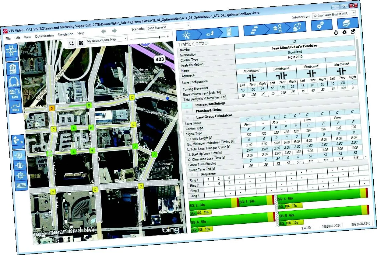
    German traffic analysis consultant and software maker PTV, which produces the well-known Visum and Vissim strategic traffic analysis and micro-simulation tools, has launched a new assessment tool aimed at studying traffic impact of new developments. PTV Vistro is claimed to be the first all-in­ one-solution for transport analysis and signal optimisation, an easy-to-use software that can be used to conduct traffic studies which are often a mandatory part of development applications and planning approvals.
  • Accurate data capture with Hexagon
    January 2, 2022
    Hexagon is introducing the Leica BLK ARC and the Leica BLK2FLY tools, which offer speed, portability and mobility for autonomous mobile reality capture.