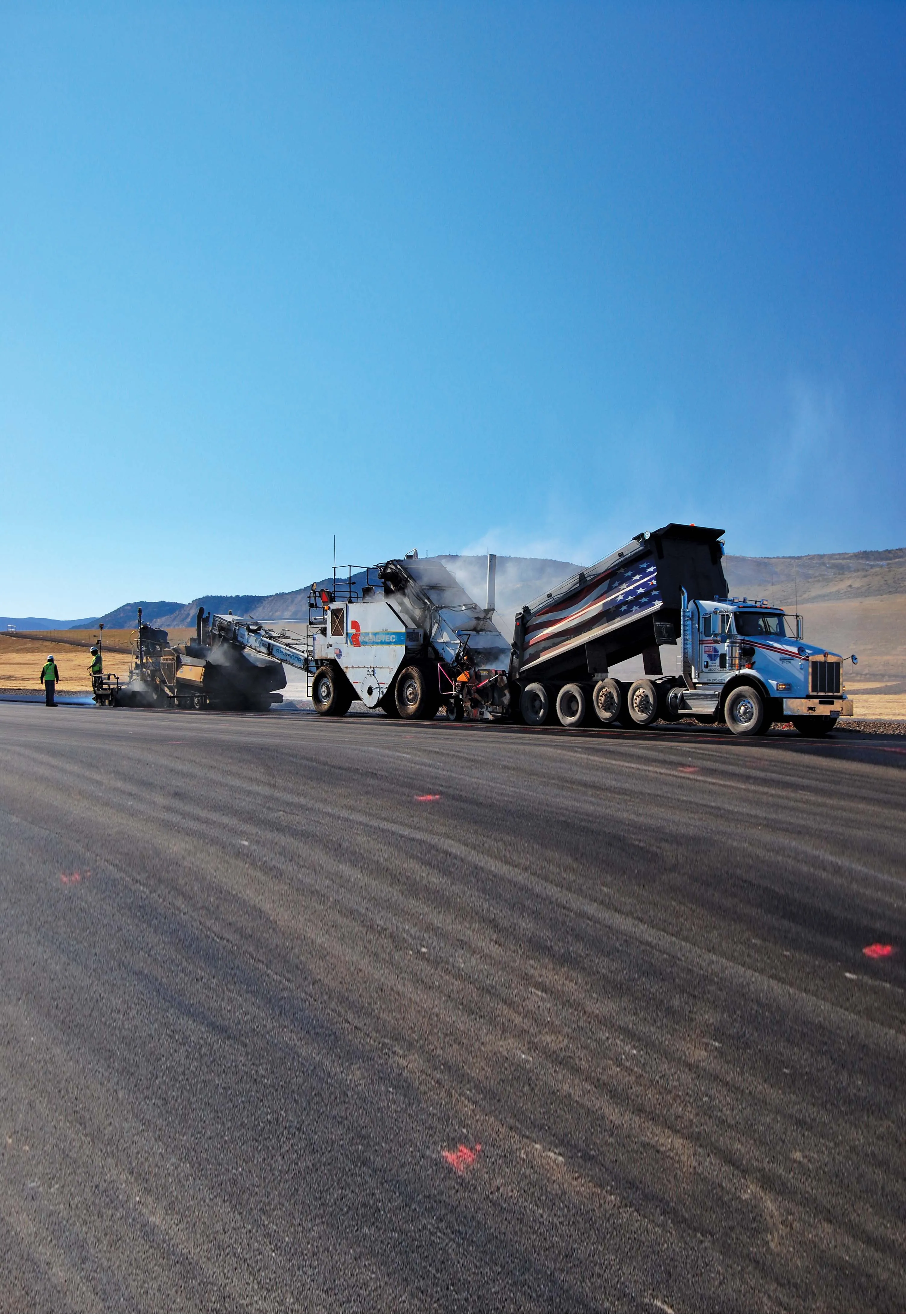
Fugro Aperio says it is improving the quality of road and airport runway repair techniques using its sophisticated ground penetrating radar (GPR) technology. The firm is now able to offer a combination of real time kinematic (RTK) GPS with multi channel radar systems due to partnerships with Yotta in the UK, and Pavement Management Services in Australia and the Middle East. This sophisticated package enables pre-planning of surveys, quicker execution and better positioning for more precise mapping of defect

With GPR scans relocatable three-dimensionally to ±18mm using RTK, Fugro Aperio says it is able to generate accurate maps of pavement defects such as delamination or debonding. This level of accuracy allows corrective action to be targeted more accurately, cost-effectively and with minimal disruption. Fugro Aperio's application of GPR to identify changes in pavement moisture is helping engineers to detect and remediate the degrading effects of water. Water can reduce sub-grade bearing value, it can lead to sub-grade mud forcing up through slab joints and cracks, and can cause stripping of bitumen from the aggregate, undoing blacktop surfacing over time.
Although common in highways management, asset management principles and tools are new to many airport operators who seek to measure, manage and maintain assets more efficiently. Using surveying disciplines, Fugro Aperio is collecting and integrating bundles of asset data to populate comprehensive, computer based, airfield asset management systems.