Real time site monitoring technology

Leica Geosystems is broadening its site monitoring technology with the introduction of the GeoMoS package. This can be linked to the firm's existing GNSS Spider software to offer an array of TPS and GNSS monitoring tools. Combined, these tools provide a web-based service for visualisation and analysis of monitoring. Authorised users can access a monitoring project using a web browser, pocket PC or mobile phone. Using the GeoMoS Web service, graphs and views can be customised and be tailored to the needs of
July 19, 2012 Read time: 2 mins
265 Leica Geosystems is broadening its site monitoring technology with the introduction of the GeoMoS package. This can be linked to the firm's existing GNSS Spider software to offer an array of TPS and GNSS monitoring tools. Combined, these tools provide a web-based service for visualisation and analysis of monitoring. Authorised users can access a monitoring project using a web browser, pocket PC or mobile phone. Using the GeoMoS Web service, graphs and views can be customised and be tailored to the needs of each project. Multiple monitoring projects or sites can be included in GeoMoS Web, allowing authorised personnel to view sensitive data. Configuration tools bring the data to the web and interactive graphics allow an overview of the monitoring data, providing warnings when a project exceeds specified tolerances.

Meanwhile, improved surveying capabilities are claimed for the latest Total Stations product from Leica Geosystems. The new Leica FlexLine units are modular in design and hardware and software options can be selected to meets customer requirements. Purchasers can opt for pre-configured products or add specific hardware and software options to a base model and there are three pre-configured instruments within the FlexLine range. The Leica FlexLine TS02 is designed for standard measurement tasks, with a set of application software, a Bluetooth option, USB option and alpha-numeric keyboard option. The Leica FlexLine TS06 is versatile and comes with an alpha-numerical keyboard and a complete set of application software as standard while options include Bluetooth technology and a USB connection. The Leica FlexLine TS09 Total Station includes all FlexLine features from removable USB memory, Bluetooth technology, Emitting Guide Light and application software. Customers can also choose from a wide selection of additional hardware and software features.

For more information on companies in this article

Related Content

  • Topcon’s latest tool for total station connectivity
    April 4, 2017
    Topcon is introducing its MAGNET Construct 2.0 app to deliver connectivity between more instruments. The MAGNET Construct 2.0 is the firm’s next generation app that is intended to drive a wide variety of Topcon total stations from a user’s smartphone or tablet. The first version of the app was purpose-built to drive the LN-100 Layout Navigator system alone. This unit is now available for most Topcon instruments and can run from Android devices or the latest Apple iPhone, iPad, or iPod Touch hardware. Accord
  • Crushing and screening for producing and re-using
    July 23, 2012
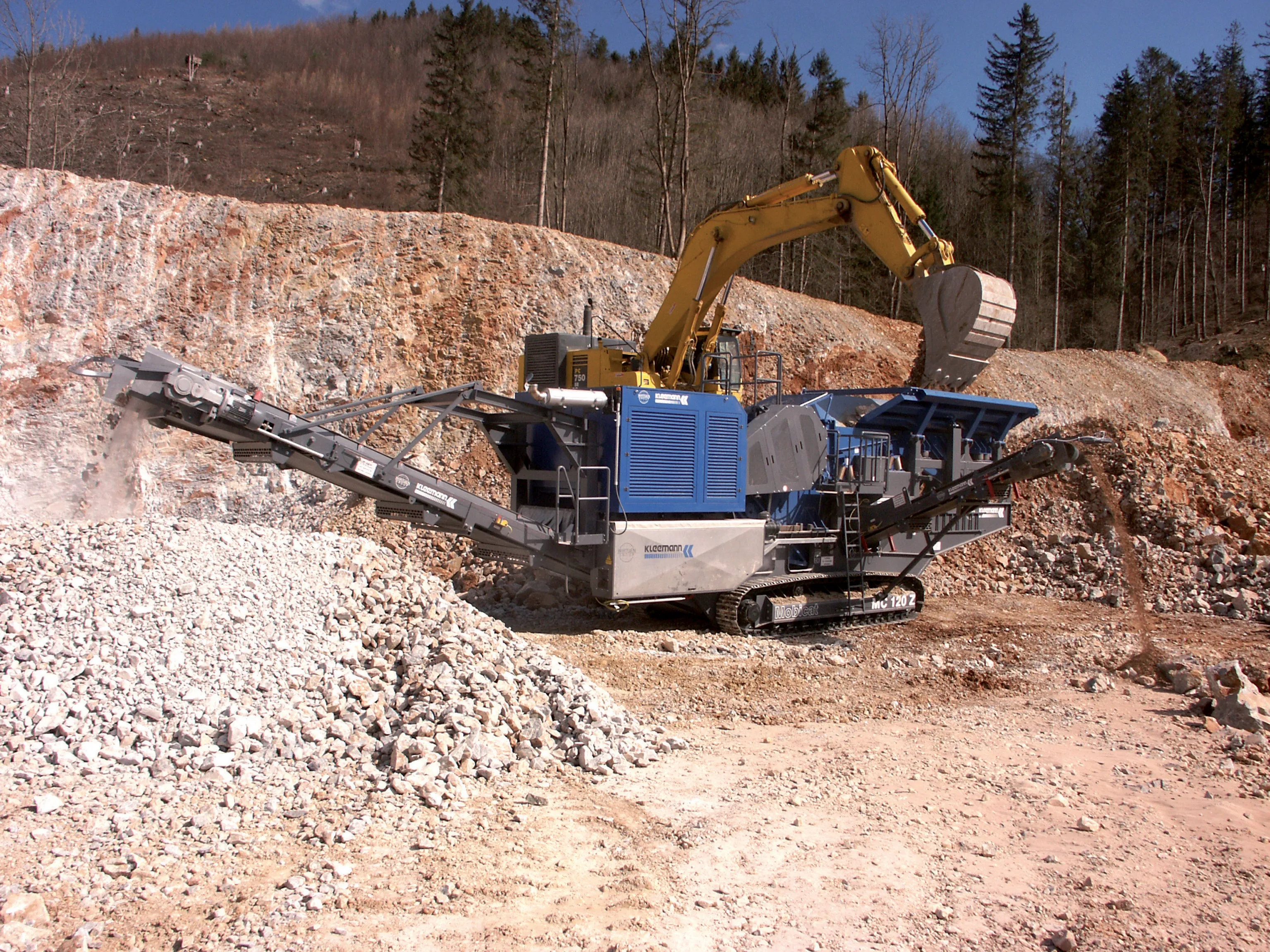
    The recycling and minerals extraction markets now share technologies, Mike Woof reports Not surprisingly, the Steinexpo quarrying event in Germany was a key launch venue for new crushing and screening technologies, as well as associated quarrying technology. Crushing and screening equipment firms from a wide range of European countries including Austria, the Czech Republic, Germany, Ireland, Italy, Sweden, Switzerland and the UK were present at the exhibition. However it was noticeable how closely the miner
  • Topcon’s intelligent compaction tool
    September 11, 2014
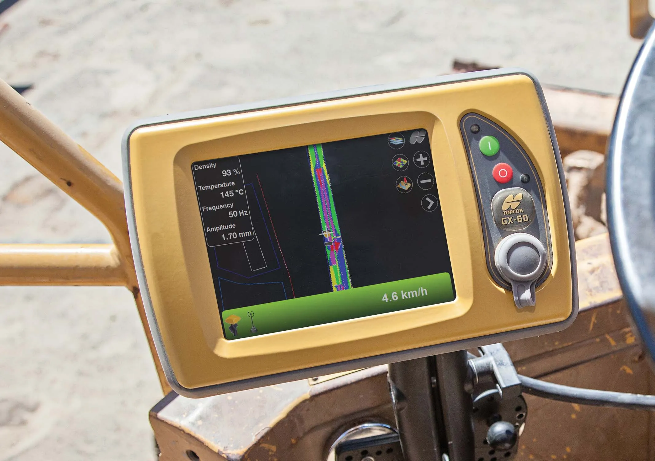
    Topcon Positioning is introducing the C-63 GPS/GNSS indicator system designed specifically for use with compactors. The package can help deliver precise compaction and features the firm’s novel GNSS technology and graphical display, providing real-time positioning and plan data and ensuring optimum compaction is achieved where required. Compaction is important for soil or asphalt applications but monitoring surfaces is difficult with existing technologies. Over- or under-compaction of asphalt in particular
  • Leica Cyclone teams up with NCTech’s iSTAR camera database
    January 19, 2016
    Users of Leica Cyclone, a 3D point cloud processing software, can now automatically import and align high-dynamic range (HDR) data from NCTech’s iSTAR camera database. The result is enhanced images delivered faster and easier, according to both companies. “It is also the accuracy to which these images fit the 3D point cloud data that is paramount. NCTech’s iSTAR camera produces high-quality HDR imaging at the accuracy everyone expects,” said Faheem Khan, vice president, business development for Leica Geosys