Novapoint offers new road design program

Norway's Novapoint has released the server-side version of its new object-based road design software, QuadriDCM, which it says will effectively integrate BIM-based interdisciplinary working methods over the internet. The software works in conjunction with the Novapoint 19 DCM road design suite and allows cloud-based design work by multiple users. Engineers check out a portion of a 3D model directly and work on it so that, "…the intelligent model becomes the central information carrier of all infrastructure
August 22, 2013 Read time: 1 min
RSSNorway's 357 Novapoint has released the server-side version of its new object-based road design software, QuadriDCM, which it says will effectively integrate BIM-based interdisciplinary working methods over the internet. The software works in conjunction with the Novapoint 19 DCM road design suite and allows cloud-based design work by multiple users. Engineers check out a portion of a 3D model directly and work on it so that, "…the intelligent model becomes the central information carrier of all infrastructure data throughout its whole lifetime," said the company which sees its system as one of the first true BIM systems in the road and rail sector.

For more information on companies in this article

Related Content

  • Positioning tools continue to improve
    July 16, 2012
    Topcon says that its new IP-S2 package combines GNNS positioning capabilities with inertial sensors, while the firm also has a solution for customers wanting to mix and match receiver components. The IP-S2 is a vehicle-mounted, mobile 3D tool that offers precision mapping and surveying capabilities. The package collects data using 3D laser scanners, LIDAR, and/or cameras, and this is then integrated, time-stamped and geo-referenced. The customer can use this assembled data to combine LIDAR point cloud and d
  • Bentley's iTwin Experience, Capture and IoT
    November 24, 2022
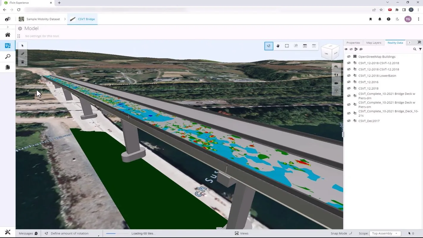
    Bentley Systems has launched iTwin Experience, iTwin Capture and iTwin IoT to improve the performance of its digital twin analysis platform iTwin.
  • Topcon introduces sophisticated GIS technology
    November 20, 2014
    Topcon Positioning Group is broadening its range of GIS solutions with the introduction of the new FC-500 data controller and MAGNET Relay package. The FC-500 unit features a large, bright sunlight-readable display and is compatible with either the Topcon eGIS or MAGNET Field GIS software.
  • Smart constructioon with GIS, GPS design technology
    February 16, 2012
    A UK highway project has benefited from the latest software, GIS and GPS technology, Mike Woof reports. Sophisticated software, GIS and GPS technology has played an important role in a large highway upgrade project in the UK and helping to increase efficiency and drive down construction costs.