New tablet solution for Leica Geosystems

Leica Geosystems is now using the rugged ZX70 Android tablet from Getac as the hardware for its new Leica Zeno GG04 plus Tablet Solution. The new partnership allows Leica Geosystems to bring geospatial data collection capabilities to customers in all terrains and weather conditions such as utilities, public services, transportation and construction. Leica Geosystems has developed a range of new software and hardware including its Zeno Mobile data collection app and Zeno GG04 plus smart antenna to capture a
December 12, 2018 Read time: 2 mins
Leica Geosystems now offers the Getac tablet as a tool for site use

265 Leica Geosystems is now using the rugged ZX70 Android tablet from Getac as the hardware for its new Leica Zeno GG04 plus Tablet Solution. The new partnership allows Leica Geosystems to bring geospatial data collection capabilities to customers in all terrains and weather conditions such as utilities, public services, transportation and construction.

Leica Geosystems has developed a range of new software and hardware including its Zeno Mobile data collection app and Zeno GG04 plus smart antenna to capture accurate geospatial data in the field. Combining these innovative products with Getac’s fully rugged ZX70 Android tablet, Leica Geosystems offers a solution with measurement accuracy, connectivity and durability in a single package.

Said to be compact and powerful, the Getac ZX70 fully rugged Android tablet is easy to hold and comfortable to use with just one hand, making it ideal for demanding field surveying work. The Android operating system supports Leica’s Zeno Mobile software, allowing for GNSS position data to be used in the field. The system can also collect data in the field. Additional key features include the IPS display. The Getac ZX70’s integrated 4G modem can transmit large data files quickly and easily, even from remote locations. The data connection also allows users to effectively utilise Hexagon Geosystems’ HxGN SmartNet  correction service, enabling accurate GNSS measurement to within one centimetre.

For more information on companies in this article

Related Content

  • Accurate asphalt compaction
    July 21, 2022
    The latest compaction package from Trimble helps to deliver a quality surface more quickly and efficiently. According to the firm, the system allows operators to accurately control the compaction process, while reducing unnecessary passes that can result in over compaction.
  • Brisbane’s Airport: Innovative Management of One of the World’s Busiest Runways
    June 26, 2014
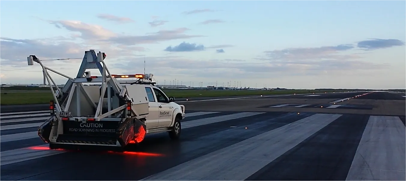
    When it comes to runways, there are few busier then Brisbane’s main runway. Servicing both domestic and international travel, with over 200,000 movements per year, operating without a curfew Brisbane’s main runway is the busiest in Australia. For maintenance, crews only have a limited period of time to determine the pavement condition, normally during the night, making the detection of pavement faults difficult. To resolve this issue, a new high speed pavement scanner was used to rapidly survey the pavem
  • Connected Tech for Construction Continuity
    December 11, 2020
    No one could have predicted the situation we found ourselves in in 2020, with a global pandemic bringing the economy to its knees, projects delayed overnight, rapid restarts, remote management, and challenging labor dynamics.
  • Customer Comes Full Circle with Komatsu iMC 2.0
    April 4, 2022
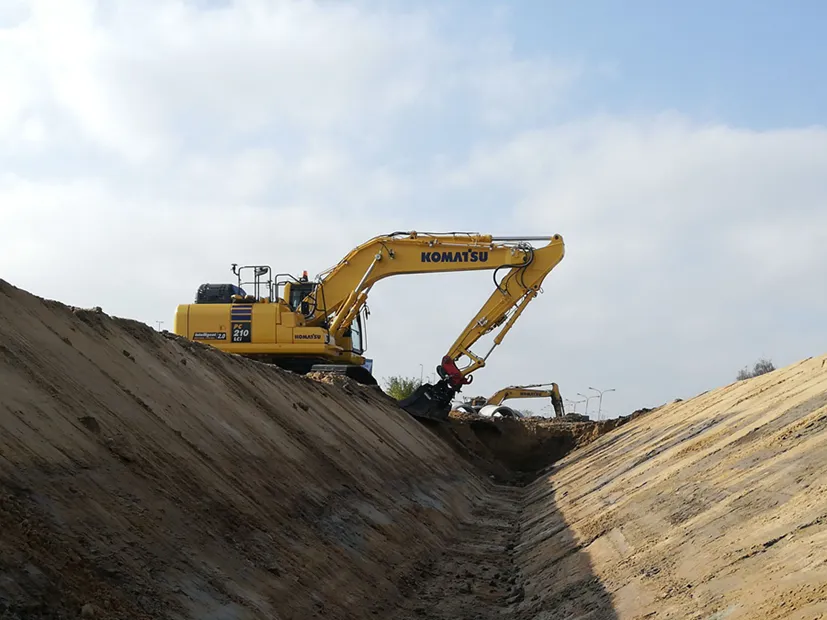
    In 2017, the Budorealizacja company from Myślenice, Poland started using the first ever Komatsu intelligent Machine Control (iMC) excavator to be delivered in the country. Over four years on, the company now owns 10 Komatsu iMC machines across both excavators and dozers, and significantly, its fleet was further expanded when they recently became the first Polish customer to take delivery of an iMC 2.0 version of the PC210LCi-11