New tablet solution for Leica Geosystems

Leica Geosystems is now using the rugged ZX70 Android tablet from Getac as the hardware for its new Leica Zeno GG04 plus Tablet Solution. The new partnership allows Leica Geosystems to bring geospatial data collection capabilities to customers in all terrains and weather conditions such as utilities, public services, transportation and construction. Leica Geosystems has developed a range of new software and hardware including its Zeno Mobile data collection app and Zeno GG04 plus smart antenna to capture a
December 12, 2018 Read time: 2 mins
Leica Geosystems now offers the Getac tablet as a tool for site use

265 Leica Geosystems is now using the rugged ZX70 Android tablet from Getac as the hardware for its new Leica Zeno GG04 plus Tablet Solution. The new partnership allows Leica Geosystems to bring geospatial data collection capabilities to customers in all terrains and weather conditions such as utilities, public services, transportation and construction.

Leica Geosystems has developed a range of new software and hardware including its Zeno Mobile data collection app and Zeno GG04 plus smart antenna to capture accurate geospatial data in the field. Combining these innovative products with Getac’s fully rugged ZX70 Android tablet, Leica Geosystems offers a solution with measurement accuracy, connectivity and durability in a single package.

Said to be compact and powerful, the Getac ZX70 fully rugged Android tablet is easy to hold and comfortable to use with just one hand, making it ideal for demanding field surveying work. The Android operating system supports Leica’s Zeno Mobile software, allowing for GNSS position data to be used in the field. The system can also collect data in the field. Additional key features include the IPS display. The Getac ZX70’s integrated 4G modem can transmit large data files quickly and easily, even from remote locations. The data connection also allows users to effectively utilise Hexagon Geosystems’ HxGN SmartNet  correction service, enabling accurate GNSS measurement to within one centimetre.

For more information on companies in this article

Related Content

  • The era of workzone data
    July 4, 2018
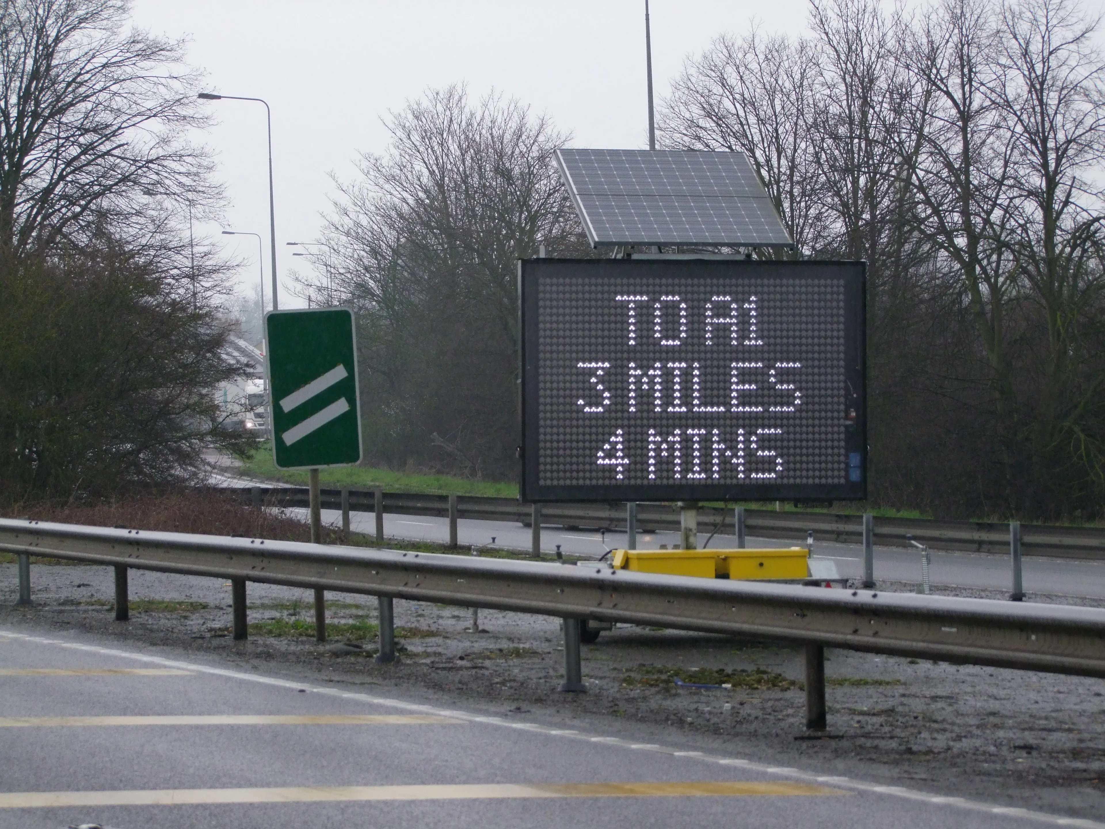
    Portable work zone messaging is now integral - not an add-on - when it comes to safety on large-scale highway projects. Andrew Williams* reports. Portable work zone ITS solutions have emerged in recent years as important flexible tools for managing major roadwork projects, from new-build to upgrades. They effectively ensure traffic disruption is kept to a minimum and lives can be saved. As such, the technology forms a central component of a major €1.7 billion project in the southern English county of Cambr
  • Hexagon and Nemetschek form partnership
    September 19, 2024
    Hexagon and Nemetschek have formed a key partnership.
  • Trimble’s new solutions boost road building
    January 29, 2014
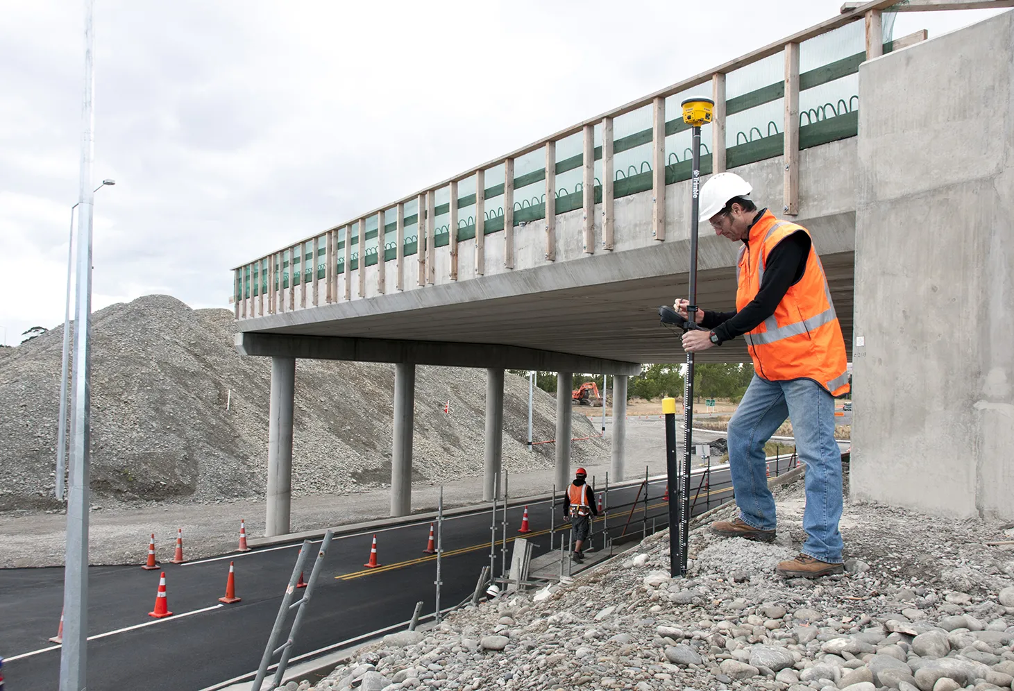
    Trimble is now offering a sophisticated package of solutions comprising hardware, software and mobility technologies. This streamlines communication and collaboration throughout the construction lifecycle, from planning, design and site preparation through to the finished project. Connecting sites delivers value across the entire project lifecycle, as real-time data gives contractors and stakeholders better information about material, people and asset utilisation for improved productivity.
  • Trimble’s new solutions boost road building
    January 6, 2017
    Trimble is now offering a sophisticated package of solutions comprising hardware, software and mobility technologies. This streamlines communication and collaboration throughout the construction lifecycle, from planning, design and site preparation through to the finished project. Connecting sites delivers value across the entire project lifecycle, as real-time data gives contractors and stakeholders better information about material, people and asset utilisation for improved productivity.