New project software developed by Bentley

Bentley Systems claims that its OpenRoads ConceptStation modelling package allows highway engineering professionals to quickly build conceptual road and bridge models. The software allows rapid conceptual and preliminary design, using information obtained through point clouds, reality meshes, GIS, and other sources. OpenRoads ConceptStation combines engineering drawing tools and project costs to improve decision-making in the design phase. Benefits include increasing design productivity, identifying
February 8, 2018 Read time: 2 mins

4019 Bentley Systems claims that its OpenRoads ConceptStation modelling package allows highway engineering professionals to quickly build conceptual road and bridge models. The software allows rapid conceptual and preliminary design, using information obtained through point clouds, reality meshes, GIS, and other sources.

OpenRoads ConceptStation combines engineering drawing tools and project costs to improve decision-making in the design phase. Benefits include increasing design productivity, identifying potential high-risk items, and minimising development costs. Once the optimal design is identified, the user can upload the model to OpenRoads and OpenBridge to streamline highway and bridge design. OpenRoads ConceptStation models can be brought forward for detailed design work into OpenRoads Designer, ensuring that both the work and the data already generated is used as the project moves from concept through construction.

The package allows GeoCoordination services to find, download, import, and georeference contextual information to support 3D design modeling workflows, including point clouds, 3D reality meshes, terrain data, images, and GIS information. Engineering sketching tools can be used to create 3D models rapidly, and to design roads, bridges, ramps, guardrails, retaining walls, and other infrastructure designs. It offers automated generation of costs for the design, allowing engineers and planners to identify high-cost items or potential risks in the project, extract quantities, and analyse project costs. Integration of Bentley’s LumenRT visualisation and reality modelling software means that the user can produce real-time, realistic scenes without the need for intensive and lengthy pre-rendering. And the integration of PTV VISSIM also allows users to incorporate traffic analysis and planning for OpenRoads conceptual or detailed design.

Related Content

  • Foth Uses Collaborative Digital Engineering to Deliver Road Infrastructure Project
    June 1, 2020
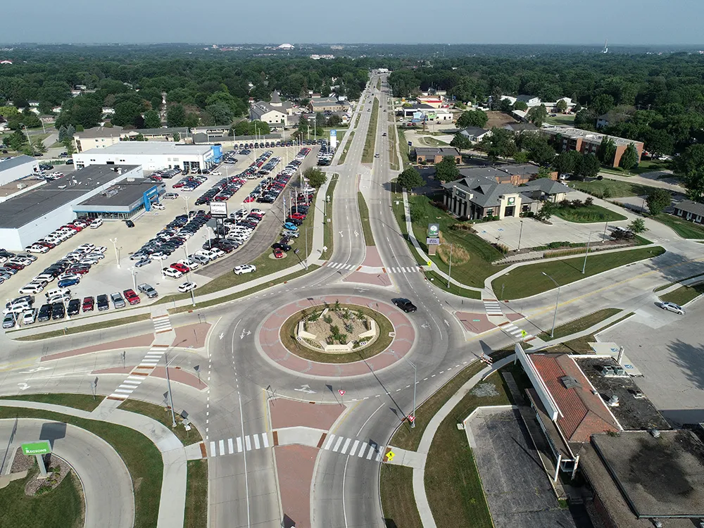
    Foth utilised software from Bentley Systems to improve safety and traffic flow on an urban road stretch in Iowa.
  • Improved laser scanning capabilities
    February 23, 2012
    Leica Geosystems is broadening its software offering with its new Leica Cyclone v7.2 package, which is said to improve office processing capabilities. The package has been developed to address key market needs and trends in the processing and use of rich, as-built point cloud data from high definition laser scanning technology. According to the firm the package can help reduce laser scanning project costs, including office time, allowing projects to use more scans and higher scan densities.
  • Analysing carbon quantities for construction
    October 14, 2024
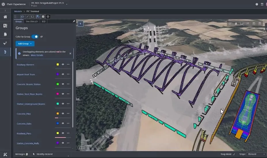
    Using software tools can help analysing carbon from for construction works.
  • Data handling for efficient machine control
    October 16, 2012
    The rapid increase in information availability is transforming the construction sector. Conventional methods used for sourcing geographic data based on maps and localised sampling meant that there was often a lack of accurate information relating to ground conditions at specific areas where work was planned, often resulting in unwelcome surprises for construction companies along with additional costs for projects.