New positioning tools streamline survey operations

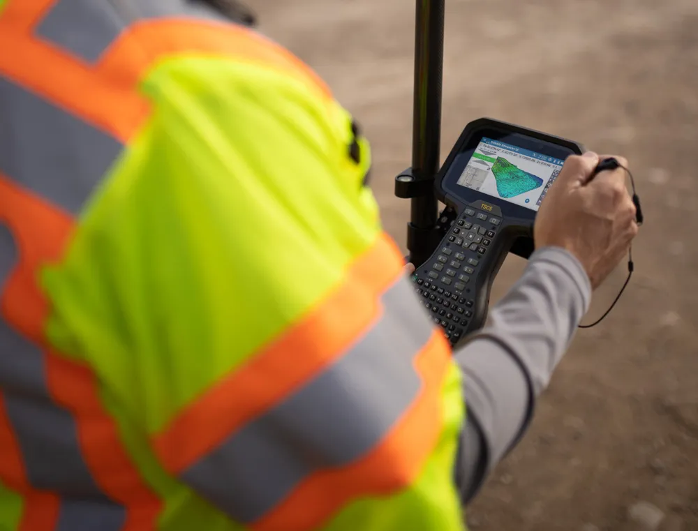
Trimble has launched a range of new tools which it says will deliver faster and more accurate data to surveyors. The Trimble S6 Robotic Total Station with Trimble Vision Technology enables surveyors to remotely see and measure through a live video feed from the instrument on their data controller.
March 14, 2012 Read time: 2 mins

Trimble has launched a range of new tools which it says will deliver faster and more accurate data to surveyors.

The 2122 Trimble S6 Robotic 344 Total Station with Trimble Vision Technology enables surveyors to remotely see and measure through a live video feed from the instrument on their data controller. By integrating survey data with the live video, surveyors can verify their work and ensure that they have captured everything before leaving a site.

Meanwhile, the Trimble M3 Total Station with Trimble Access Field Software allows surveyors to import road definitions from third-party sources, enabling users to input a complete road definition including horizontal and vertical alignments, templates and superelevation, and widening records. Users are guided through fast offsets, slope staking, real-time redesign and real-time quality control.

Further new tools include the Trimble GeoExplorer, the Trimble Business Center Software version 2.60, and the Trimble Access Field Software Developers Kit (SDK).
Anders Rhodin, director of Trimble’s Survey Business, said: “Trimble’s portfolio of solutions gives surveyors improved workflows for field data collection, enhanced collaboration between the field and the office and tools to output final deliverables to clients. In total, the solutions can streamline operations to help keep project costs on target."

For more information on companies in this article

Related Content

  • Bentley’s point cloud innovation for information modelling in road design
    August 22, 2013
    Latest software packages from Bentley Systems will help optimise project design and construction efficiency – Mike Woof reports Software systems have come a long way in helping optimise construction projects from design through construction to delivery. And the latest software from Bentley Systems offers additional capabilities for road design applications. Bentley Systems is offering the V8i (SELECTseries 3) versions of its InRoads, GEOPAK, and MXROAD products. All of the products now share the
  • Surveying software from Trimble
    June 15, 2021
    Trimble has introduced its Siteworks SE Starter Edition, an entry-level, easy-to-use construction surveying software.
  • Trimble technology centre stage at CONEXPO-CON/AGG 2014
    March 27, 2014
    The Trimble Quantm alignment planning system, on show at CONEXPO/CON-AGG 2014, allows road designers to cut planning time and deliver projects with little environmental and social impact at a reduced cost. The system analyses millions of alignment alternatives and returns a range of options to the planning team for consideration. When new data becomes available the Quantm system can quickly recalculate more alignment options.
  • Mobile mapping tool
    October 14, 2022
    Leica Geosystems says that its sophisticated new Pegasus TRK system makes mobile mapping smart, autonomous and easy. This reality capture mobile mapping system is claimed to offer the benefits of artificial intelligence, autonomous workflows and intuitive interfaces.