More accurate mapping

By MJ Woof July 31, 2024 Read time: 1 min
Trimble and Radiodetection have established a collaboration to develop better digital maps of underground utilities

Trimble and Radiodetection have established a collaboration to improve the technology used in the utility measurement and mapping process. Through the integration of the Trimble Catalyst DA2 GNSS system and Radiodetection’s RD MapTM+ application and precision locator products, the software and hardware integration streamlines utility-locating workflows. This can provide high-accuracy measurement capabilities for the generation of underground utilities maps in a single field operation. 

Traditionally, field technicians mark their measurements onsite manually or rely on data entries to provide to office staff for map creation after a site visit. Data collected with the Trimble Catalyst DA2 GNSS system can now be synced with Radiodetection RD Map+ and precision locators that find and mark buried utilities. By streamlining this connection, workers can digitise utility-line locations and reduce costly reporting errors.  

This integration advances utility measurement workflows by giving personnel the capability to accurately represent the utility asset in a digital format. This streamlines the operation, maintenance and construction process whenever utilities are involved. 

For more information on companies in this article

Related Content

  • Precise positioning with Topcon and Vodafone
    September 13, 2022
    Topcon and Vodafone will offer technology for precise positioning.
  • Hemisphere & Carlson ‘strategic’ alliance
    January 6, 2017
    US firms Hemisphere GPS and Carlson Software have formed a ‘strategic alliance’. The move, according to the companies, will provide a “roadmap” for new, integrated solutions for land survey, mapping, construction, mining and other key machine control markets.
  • Hemisphere & Carlson ‘strategic’ alliance
    March 8, 2012
    US firms Hemisphere GPS and Carlson Software have formed a ‘strategic alliance’. The move, according to the companies, will provide a “roadmap” for new, integrated solutions for land survey, mapping, construction, mining and other key machine control markets.
  • Topcon offers compact digital imaging solution
    February 2, 2015
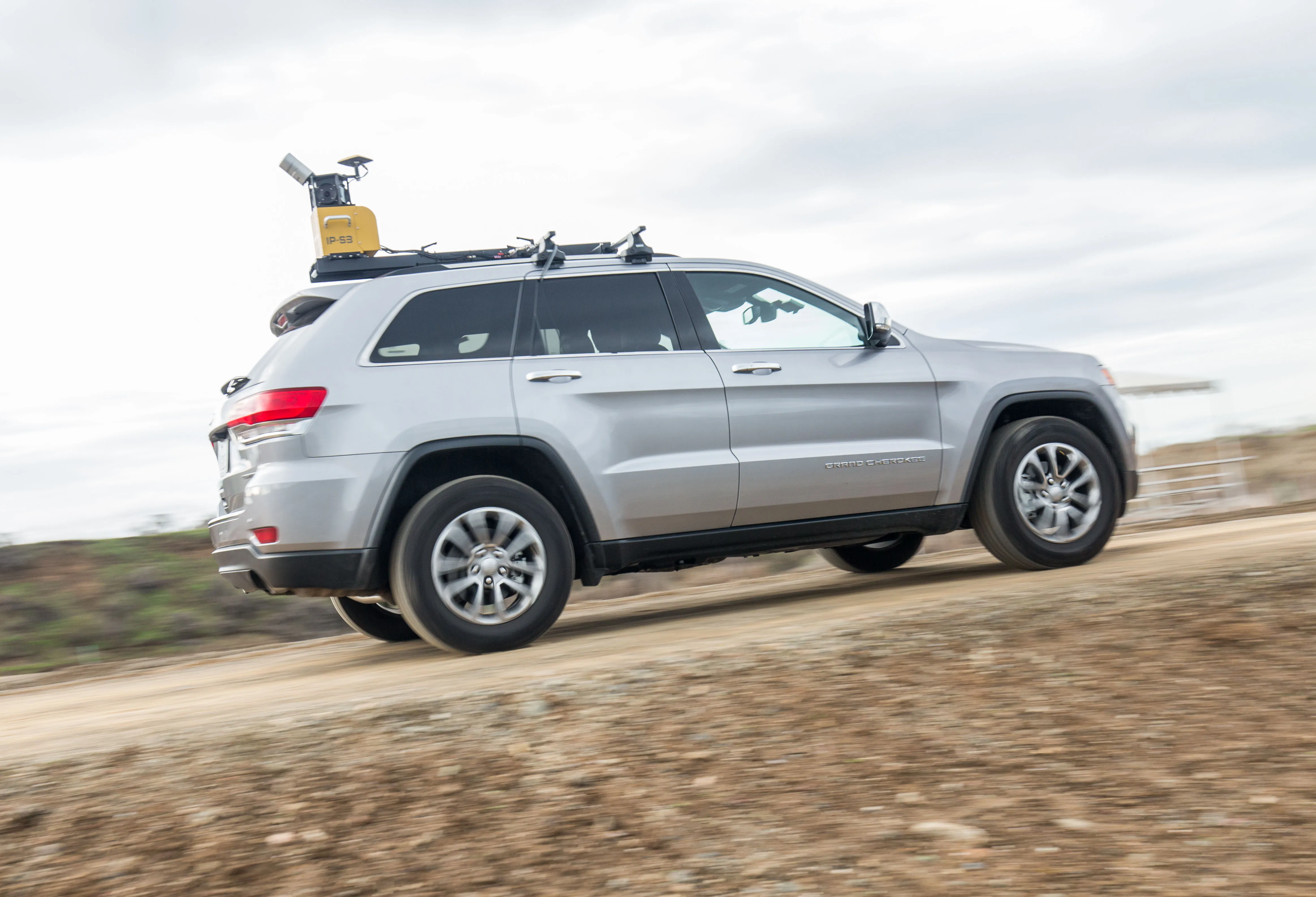
    Topcon claims that its new IP-S3 system offers a compact and lightweight 3D imaging solution. This high density system is said to be five times faster than previous generation tools, while weighing in at just 18kg. Scanning at 700,000 points/second, the system is said to offer data-rich results with its 30MP panoramic imagery and offers a mobile mapping powerhouse, according to the firm. The company says that this high-density and high-resolution camera comes in a unit that is much smaller than its predeces