More accurate mapping

By MJ Woof July 31, 2024 Read time: 1 min
Trimble and Radiodetection have established a collaboration to develop better digital maps of underground utilities

Trimble and Radiodetection have established a collaboration to improve the technology used in the utility measurement and mapping process. Through the integration of the Trimble Catalyst DA2 GNSS system and Radiodetection’s RD MapTM+ application and precision locator products, the software and hardware integration streamlines utility-locating workflows. This can provide high-accuracy measurement capabilities for the generation of underground utilities maps in a single field operation. 

Traditionally, field technicians mark their measurements onsite manually or rely on data entries to provide to office staff for map creation after a site visit. Data collected with the Trimble Catalyst DA2 GNSS system can now be synced with Radiodetection RD Map+ and precision locators that find and mark buried utilities. By streamlining this connection, workers can digitise utility-line locations and reduce costly reporting errors.  

This integration advances utility measurement workflows by giving personnel the capability to accurately represent the utility asset in a digital format. This streamlines the operation, maintenance and construction process whenever utilities are involved. 

For more information on companies in this article

Related Content

  • GPS machine control boosts productivity
    February 23, 2012
    New technology can allow more productive and more cost-effective earthmoving jobs. Mike Woof reports
  • Caterpillar develops advances telematics technology to track machine performance
    February 24, 2017
    Caterpillar is launching new Cat Connect hardware and software to enable equipment managers to connect all of their assets—from the largest earthmover to the smallest generator, and including both light and heavy-duty trucks and utility vehicles. New Cat Product Link technologies connect any brand and type of equipment, powered or non-powered, and all report through a single system, VisionLink. The new technologies are said to offer multiple communications channels—cellular, satellite and Bluetooth—to b
  • Trimble is developing smart construction site solutions
    March 7, 2016
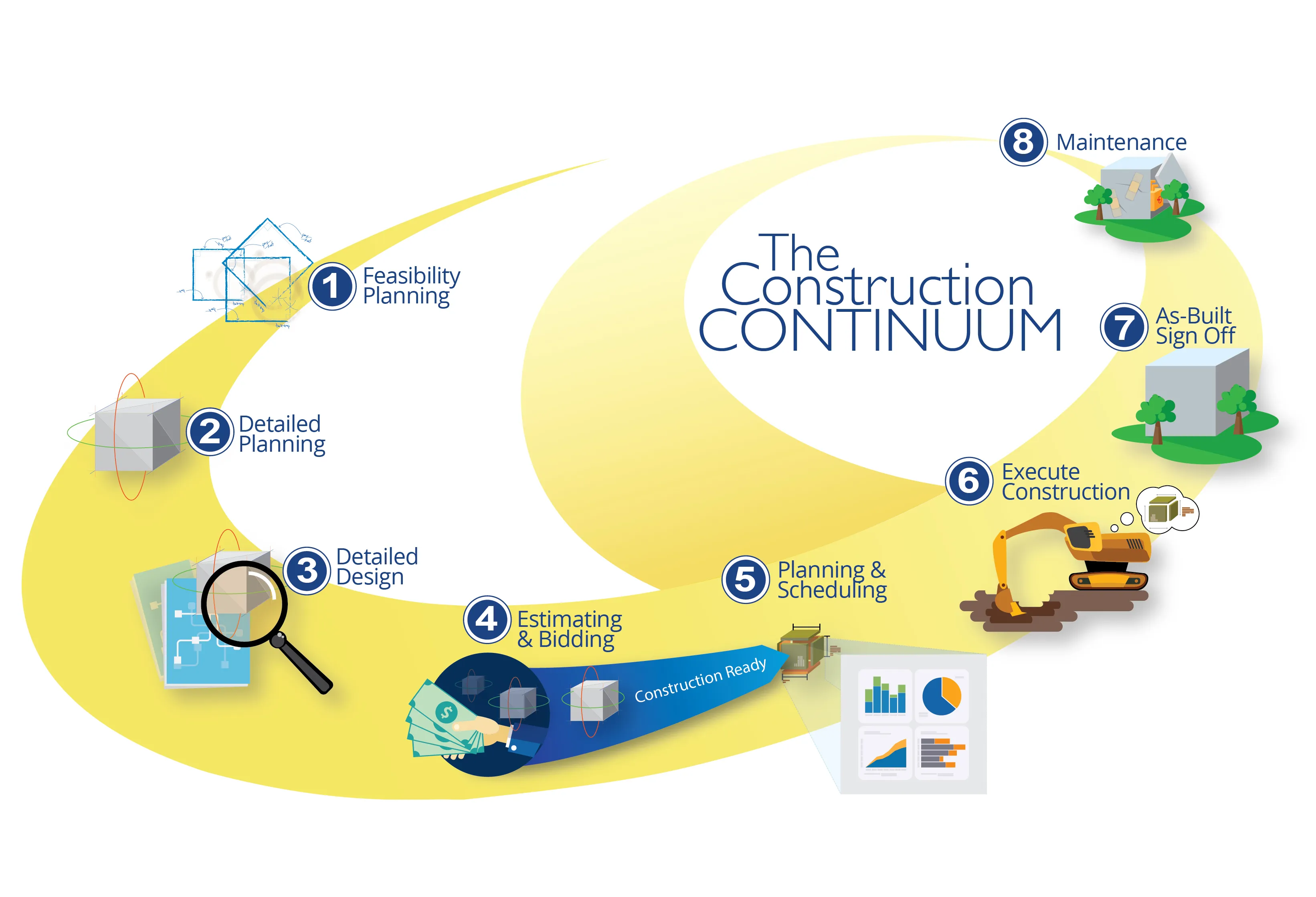
    Trimble is taking the concept of the building information model (BIM) one stage further with its development of its construction continuum concept. This is intended to show the process and benefits to building a construction-ready model embedded with intelligent data. Such a model can serve as the basis for how contractors plan and execute construction projects. With intelligent modeling, users can add and remove information in real time while simultaneously looking at multiple ways to perform construction
  • Trimble is developing smart construction site solutions
    January 6, 2017
    Trimble is taking the concept of the building information model (BIM) one stage further with its development of its construction continuum concept. This is intended to show the process and benefits to building a construction-ready model embedded with intelligent data. Such a model can serve as the basis for how contractors plan and execute construction projects. With intelligent modeling, users can add and remove information in real time while simultaneously looking at multiple ways to perform construction