More accurate mapping

By MJ Woof July 31, 2024 Read time: 1 min
Trimble and Radiodetection have established a collaboration to develop better digital maps of underground utilities

Trimble and Radiodetection have established a collaboration to improve the technology used in the utility measurement and mapping process. Through the integration of the Trimble Catalyst DA2 GNSS system and Radiodetection’s RD MapTM+ application and precision locator products, the software and hardware integration streamlines utility-locating workflows. This can provide high-accuracy measurement capabilities for the generation of underground utilities maps in a single field operation. 

Traditionally, field technicians mark their measurements onsite manually or rely on data entries to provide to office staff for map creation after a site visit. Data collected with the Trimble Catalyst DA2 GNSS system can now be synced with Radiodetection RD Map+ and precision locators that find and mark buried utilities. By streamlining this connection, workers can digitise utility-line locations and reduce costly reporting errors.  

This integration advances utility measurement workflows by giving personnel the capability to accurately represent the utility asset in a digital format. This streamlines the operation, maintenance and construction process whenever utilities are involved. 

For more information on companies in this article

Related Content

  • Weigh-in-motion key to maximising road life
    February 24, 2012
    The market and technology for weigh-in-motion systems continues to evolve – Mike Woof writes. for both mature and developing highway infrastructure networks, traffic densities play an important role in determining road wear and life. Monitoring traffic volumes and individual vehicle weight is crucial for ensuring roads can cope in the long term and that maintenance can be planned, while the problem of overloading can be eliminated.
  • Topcon unveils Hybrid Robotic System
    January 21, 2014
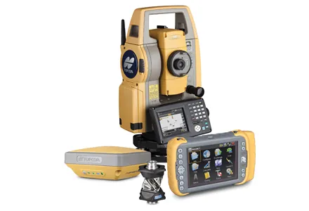
    Topcon Positioning Group has unveiled its Hybrid Robotic System, featuring the new DS series robotic total station and the recently announced MAGNET v2.0 software suite, a Topcon enterprise solution for the geomatics industry. Other Topcon components in the cutting-edge HRS include the economical HiPer SR GNSS receiver and Tesla large-screen tablet controller. The new system combines GNSS positioning and robotic measurements with an automated data workflow to provide added versatility and efficiency for
  • Trimble’s latest advance in machine controls
    April 12, 2018
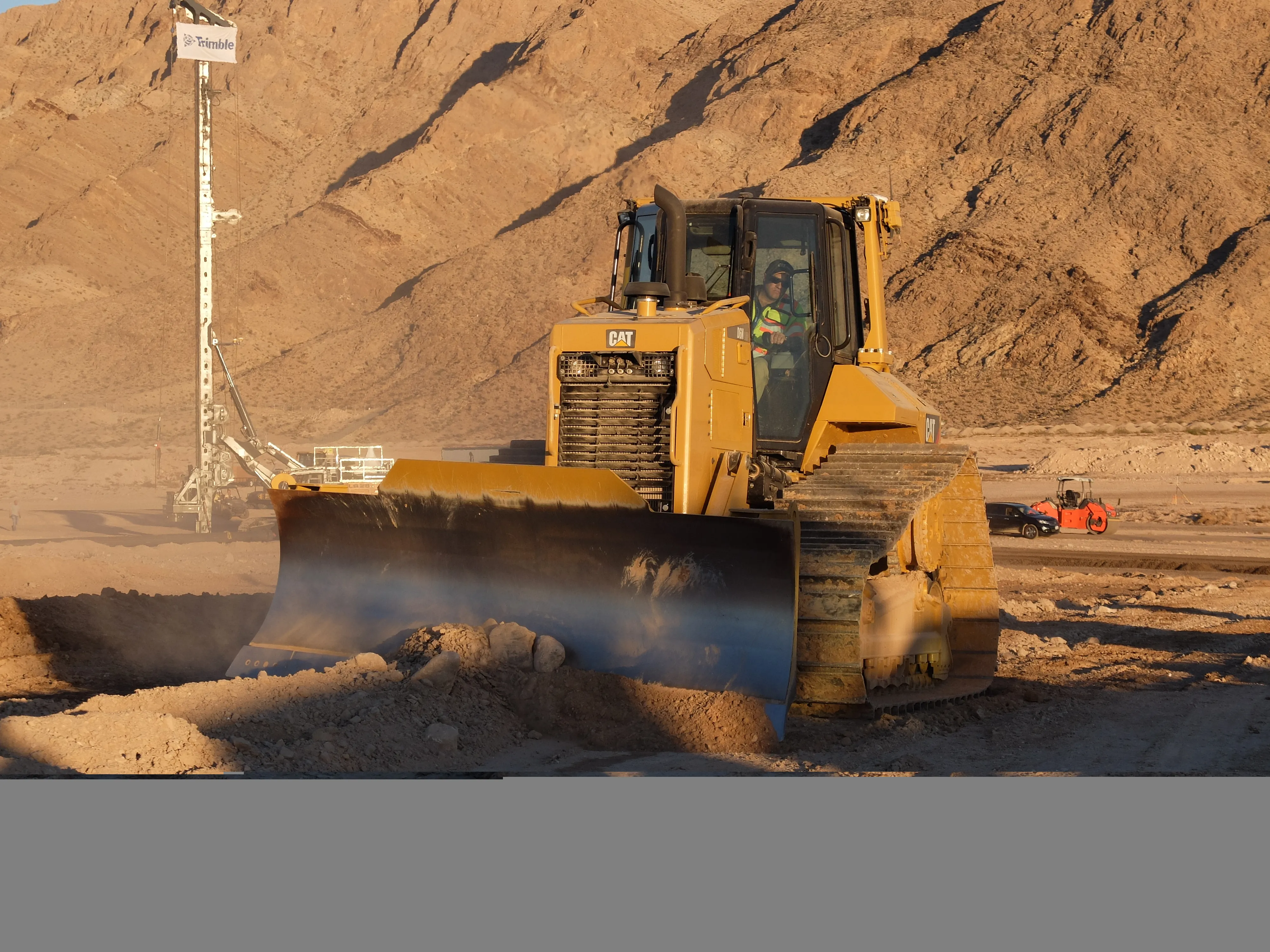
    Trimble is building on proven technology with its latest advances for the machine control segment - Mike Woof writes With new systems coming to market, Trimble is keen to retain its strong position in the machine control segment. The firm is now introducing advanced technology for the bulldozer segment, which utilises similar systems to the Earthworks package unveiled for excavators at the CONEXPO show in early 2017. Eric Crim is product manager for machine control systems in Trimble's heavy & highway
  • Efficient road paving logistics with new technology
    April 6, 2020
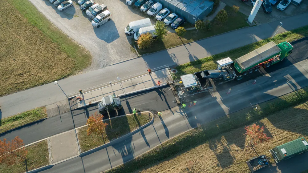
    A pilot project in Stuttgart suggests how the road construction site of the future may look in Germany. Coming requirements will mean more advanced road paving methods will be utilised.