More accurate mapping

By MJ Woof July 31, 2024 Read time: 1 min
Trimble and Radiodetection have established a collaboration to develop better digital maps of underground utilities

Trimble and Radiodetection have established a collaboration to improve the technology used in the utility measurement and mapping process. Through the integration of the Trimble Catalyst DA2 GNSS system and Radiodetection’s RD MapTM+ application and precision locator products, the software and hardware integration streamlines utility-locating workflows. This can provide high-accuracy measurement capabilities for the generation of underground utilities maps in a single field operation. 

Traditionally, field technicians mark their measurements onsite manually or rely on data entries to provide to office staff for map creation after a site visit. Data collected with the Trimble Catalyst DA2 GNSS system can now be synced with Radiodetection RD Map+ and precision locators that find and mark buried utilities. By streamlining this connection, workers can digitise utility-line locations and reduce costly reporting errors.  

This integration advances utility measurement workflows by giving personnel the capability to accurately represent the utility asset in a digital format. This streamlines the operation, maintenance and construction process whenever utilities are involved. 

For more information on companies in this article

Related Content

  • Valerann wins AI European Space Agency deal
    April 25, 2025
    Valerann’s traffic monitoring contract is from ESA’s Business Applications and Space Solutions (BASS) programme which supports services that use space technology and data in markets such as transportation.
  • WiM eases bridge health worries
    July 31, 2024
    Ageing road bridges are leading road authorities to consider the case for using weigh-in-motion - WiM - solutions to monitor the health of such infrastructure, writes Adam Hill.
  • Runway refurbishment at Leipzig/Halle airport
    May 4, 2022
    Leipzig/Halle airport in Germany is now benefiting from a newly rehabilitated runway as well as a number of taxiways
  • Location location
    February 28, 2012
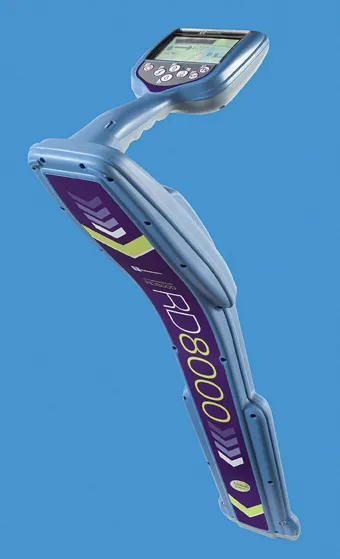
    Improved underground utility location capabilities are claimed for the improved unit from Radiodetection, This new unit is a development of the RD8000 range of pipe and cable locators introduced by Radiodetection in 2008 and offers the addition of an innovative current direction (CD) feature. This is available on Radiodetection's most advanced locator the RD8000PDL and allows a user to trace and identify a target cable in highly congested areas or when running parallel to other lines.