More accurate mapping

By MJ Woof July 31, 2024 Read time: 1 min
Trimble and Radiodetection have established a collaboration to develop better digital maps of underground utilities

Trimble and Radiodetection have established a collaboration to improve the technology used in the utility measurement and mapping process. Through the integration of the Trimble Catalyst DA2 GNSS system and Radiodetection’s RD MapTM+ application and precision locator products, the software and hardware integration streamlines utility-locating workflows. This can provide high-accuracy measurement capabilities for the generation of underground utilities maps in a single field operation. 

Traditionally, field technicians mark their measurements onsite manually or rely on data entries to provide to office staff for map creation after a site visit. Data collected with the Trimble Catalyst DA2 GNSS system can now be synced with Radiodetection RD Map+ and precision locators that find and mark buried utilities. By streamlining this connection, workers can digitise utility-line locations and reduce costly reporting errors.  

This integration advances utility measurement workflows by giving personnel the capability to accurately represent the utility asset in a digital format. This streamlines the operation, maintenance and construction process whenever utilities are involved. 

For more information on companies in this article

Related Content

  • Reducing asphalt plant downtime
    December 12, 2018
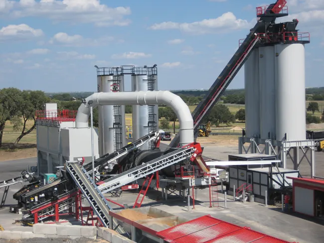
    How asphalt plant control add-ons make operation easier while reducing costly downtime - *Carlos Cardenas The word downtime might as well be a curse word in the asphalt production industry. As any operator will say, unplanned plant shutdowns can end up costing a producer heavily in lost production, not to mention a line of unhappy truck drivers and asphalt customers. The key is to get ahead of the problem and spot issues before they skyrocket in severity. Fortunately, some asphalt plant manufacturers offe
  • RoadVista launches StripeMaster 3
    March 1, 2023
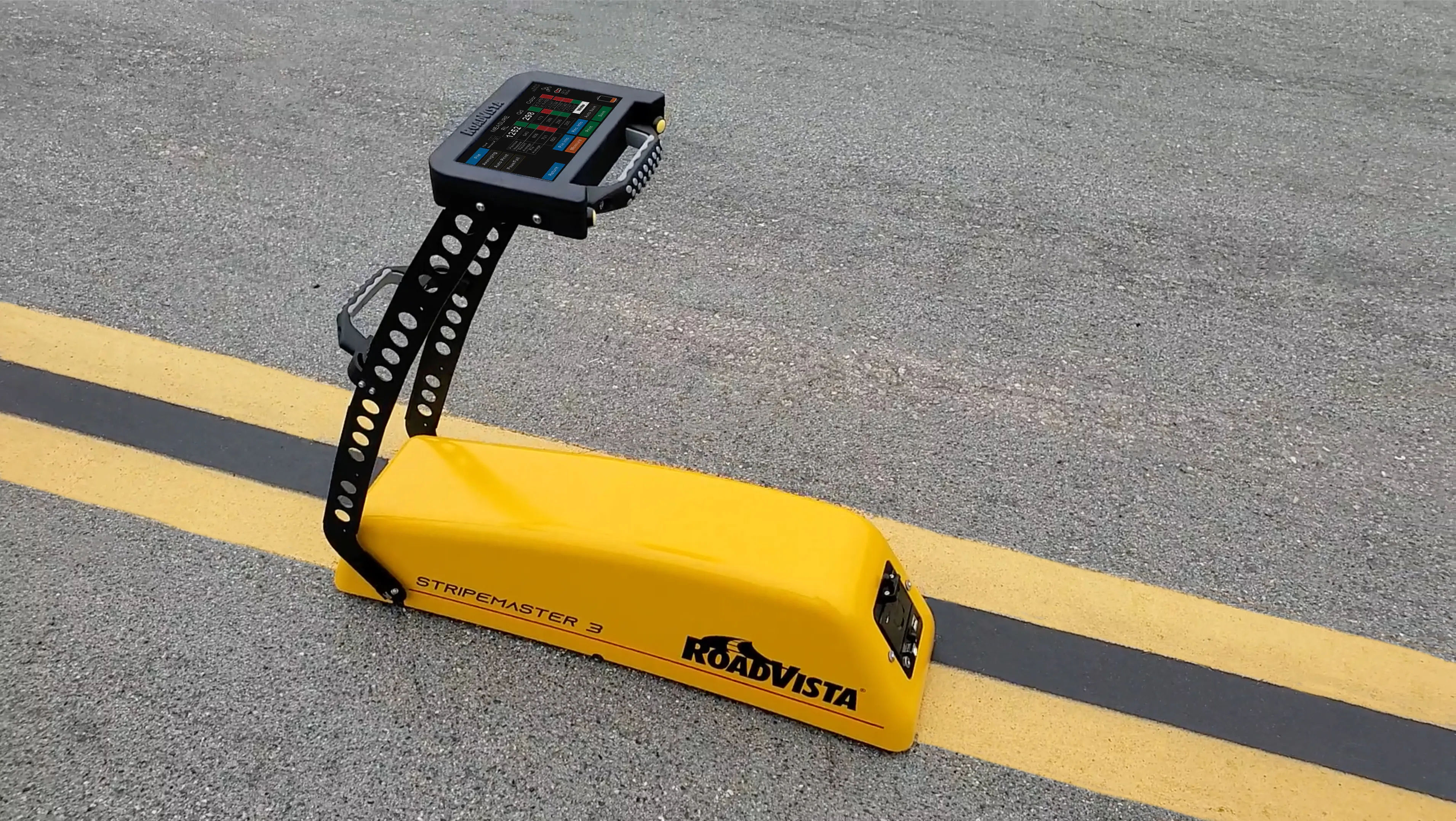
    StripeMaster 3 quantifies roadway and airfield pavement marking characteristics including retroreflectivity, daytime visibility and night-time retroreflected colour.
  • Soil compaction innovation
    February 19, 2021
    Machine control on soil compaction machinery is playing an important role in the construction of a new road in Sweden
  • HyperTunnel and U Birmingham to cooperate
    December 30, 2022
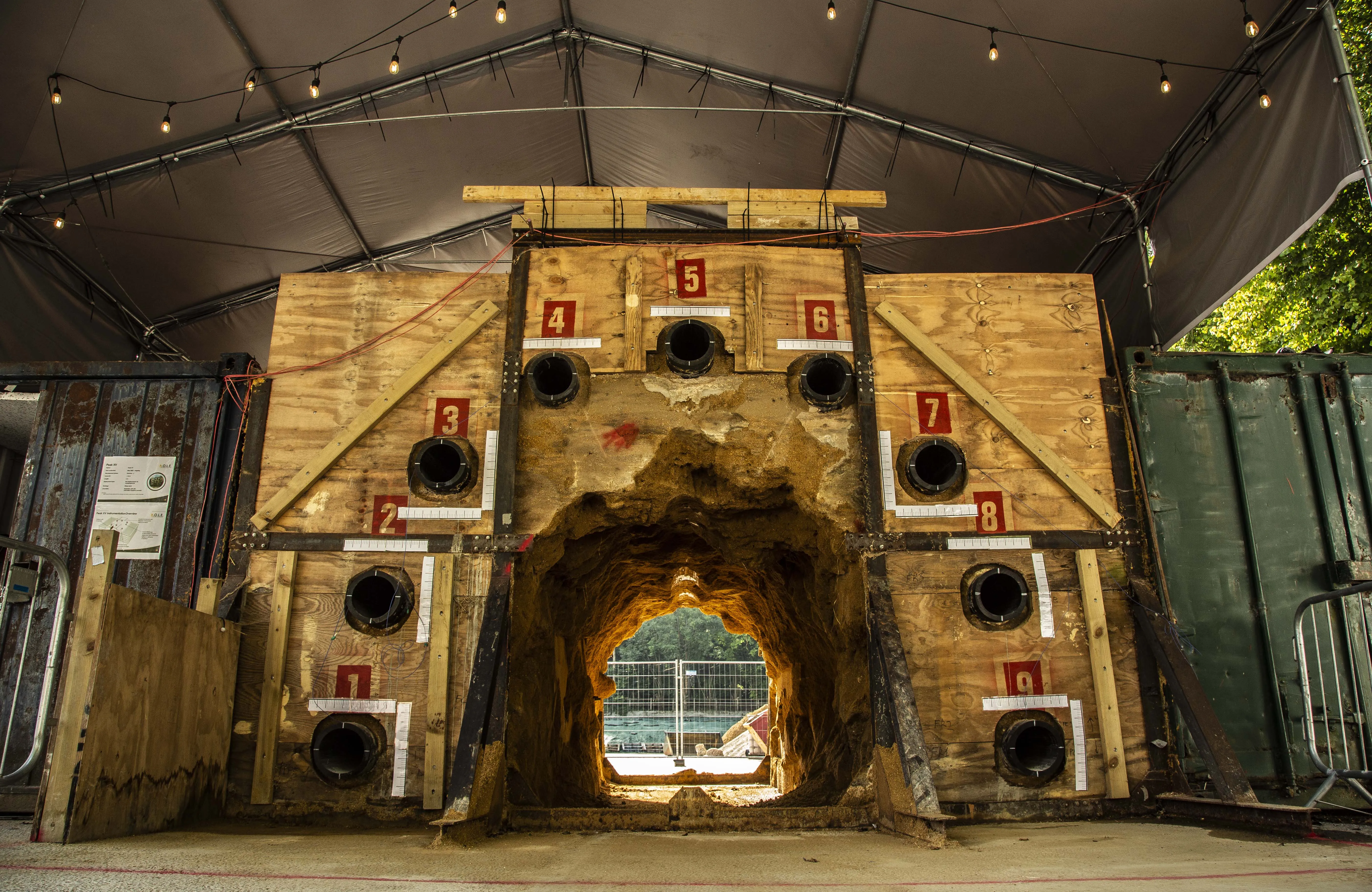
    HyperTunnel, based in the UK, said its new construction methods will reduce carbon footprints by building tunnels more than 10 times faster and at half the cost of conventional methods.