More accurate mapping

By MJ Woof July 31, 2024 Read time: 1 min
Trimble and Radiodetection have established a collaboration to develop better digital maps of underground utilities

Trimble and Radiodetection have established a collaboration to improve the technology used in the utility measurement and mapping process. Through the integration of the Trimble Catalyst DA2 GNSS system and Radiodetection’s RD MapTM+ application and precision locator products, the software and hardware integration streamlines utility-locating workflows. This can provide high-accuracy measurement capabilities for the generation of underground utilities maps in a single field operation. 

Traditionally, field technicians mark their measurements onsite manually or rely on data entries to provide to office staff for map creation after a site visit. Data collected with the Trimble Catalyst DA2 GNSS system can now be synced with Radiodetection RD Map+ and precision locators that find and mark buried utilities. By streamlining this connection, workers can digitise utility-line locations and reduce costly reporting errors.  

This integration advances utility measurement workflows by giving personnel the capability to accurately represent the utility asset in a digital format. This streamlines the operation, maintenance and construction process whenever utilities are involved. 

For more information on companies in this article

Related Content

  • New concrete paving equipment
    May 22, 2023
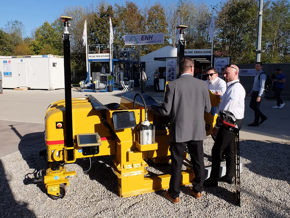
    The major players in the concrete slipforming market are offering an array of new and improved technologies for users
  • Sandvik’s DT1131i jumbo and iSURE software in Iceland and Norway
    August 14, 2019
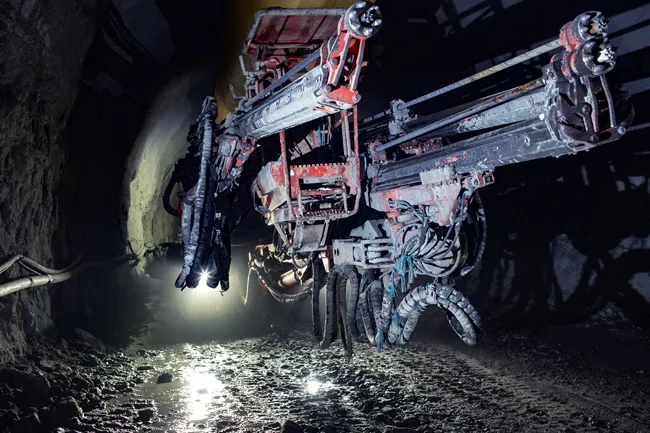
    Sandvik’s DT1131i three-boom, electro-hydraulic jumbo, iSURE tunnel management software and the latest drill bit hardware were recently put to the test in Iceland and Norway* Czech contractor Metrostav recently achieved 105m of tunnel excavation in a record-breaking six days. But it will be consistent performance and progress that will see Iceland’s Dyrafjordurgong Tunnel in the remote Westfjords region open on time and on budget. The 5.3km Dyrafjordurgong Tunnel is costing around €69 million and due
  • Monitoring software update from Trimble
    November 15, 2019
    Trimble is offering an updated version of its real-time monitoring software, the 4D Control package. This Version 5.0 upgrade offers new features that allow users to streamline real-time structural monitoring system deployment as well as simplify the connection to geotechnical sensors. Trimble 4D Control software allows project stakeholders to monitor critical infrastructure such as dams and bridges along with buildings surrounding construction sites and tunnels.
  • RMD’s focus on Locus
    June 24, 2021
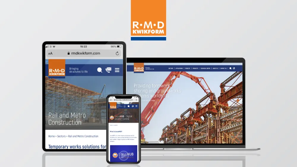
    RMD Kwikform has launched LocusHUB, a digital solution centre that acts as a one-stop hub for all the company’s digital innovations and resources.