Monitoring software update from Trimble

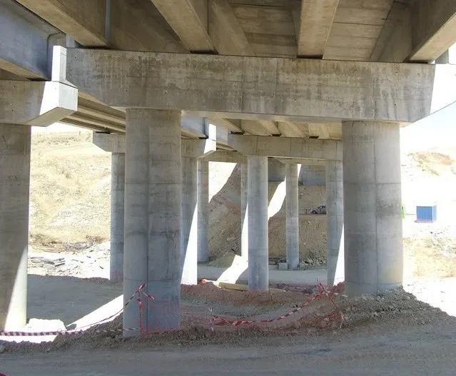
Trimble is offering an updated version of its real-time monitoring software, the 4D Control package. This Version 5.0 upgrade offers new features that allow users to streamline real-time structural monitoring system deployment as well as simplify the connection to geotechnical sensors. Trimble 4D Control software allows project stakeholders to monitor critical infrastructure such as dams and bridges along with buildings surrounding construction sites and tunnels.
November 15, 2019 Read time: 2 mins
Trimble is offering an updated version of its real-time monitoring software, the 4D Control package.

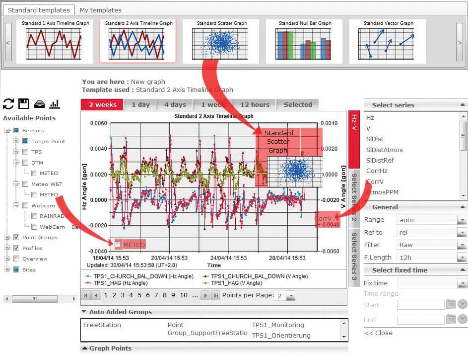
This software is said to deliver accurate movement analysis as well as extensive support for a wide variety of monitoring sensors. These can range from total stations to piezometers and crack gauges to GNSS reference receivers. In addition, multiple monitoring sites can be managed from a single, platform that allows visualisation, performs rigorous analysis and provides alerts, for real-time automated monitoring applications.

According to Trimble Monitoring Solutions, configuring sensor communications previously took hours but now takes just a few minutes. Setting up and operating a real-time monitoring system also said to be easier than before.

The firm’s 4D Control 5.0 introduces support for Worldsensing’s Loadsensing wireless monitoring system. This allows users to connect and configure geotechnical sensors from a variety of manufacturers with hundreds of sensor models. It simplifies the configuration process, delivering real-time data streaming from the geotechnical sensors to the 4D Control software. In addition, the firm says that the Loadsensing long-range and low-power wireless nodes provide an effective connectivity solution for complex monitoring scenarios.

Version 5.0 also includes an updated seismogeodetic data processing module that simplifies the setup when using Trimble’s Kestrel seismogeodetic system. With this new version, the T4D Control is said to make it easy to use the satellite-based RTX corrections capabilities of the Kestrel system. Structural engineers are said to benefit from detailed information where high-quality, real-time seismic data is critical.

For more information on companies in this article

Related Content

  • Leica Geosystems introduces smart monitoring of structures
    October 1, 2014
    Highly sophisticated, the Leica GeoMoS Now! From Leica Geosystems is a new web-based application enables on-the-go visualisation and analysis of structural and ground movement monitoring data. With this package, large quantities of geodetic and geotechnical data are said to be easier to handle with simplified workflows using automatic configuration and distribution tools. The package can quickly notify users of any changes in data for faster, more informed responses. Leica GeoMoS Now! allows users t
  • Surveying software from Trimble
    June 15, 2021
    Trimble has introduced its Siteworks SE Starter Edition, an entry-level, easy-to-use construction surveying software.
  • Data handling for efficient machine control
    October 16, 2012
    The rapid increase in information availability is transforming the construction sector. Conventional methods used for sourcing geographic data based on maps and localised sampling meant that there was often a lack of accurate information relating to ground conditions at specific areas where work was planned, often resulting in unwelcome surprises for construction companies along with additional costs for projects.
  • Construction software boosts operating efficiency
    March 5, 2012
    Intelligent data handling and management technologies are helping boost operating efficiency - Mike Woof reports The construction software sector and GIS market are seeing a rapid development of new products and technologies that will help boost efficiency, with factors such as data management and platform integration being key focus areas.