Mobile mapping tool

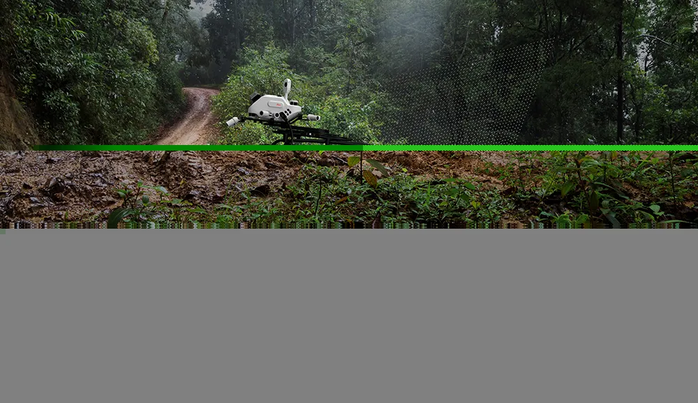
Leica Geosystems says that its sophisticated new Pegasus TRK system makes mobile mapping smart, autonomous and easy. This reality capture mobile mapping system is claimed to offer the benefits of artificial intelligence, autonomous workflows and intuitive interfaces.
October 14, 2022 Read time: 1 min
The new Pegasus TRK system from Leica Geosystems allows fast and accurate mobile mapping

The package features artificial intelligence capabilities and uses an advanced dynamic laser scanning and expandible imagery system for recording, measuring and visualising environments. This tool increases productivity with automated, intelligent workflows. The Pegasus TRK can be operated by one person, making mapping projects more efficient and cost-effective.

It is suitable for industry professionals new to the technology, while providing reliable, high-quality performance for applications in surveying, transportation and utilities.

The Pegasus TRK solution features an AI-enhanced camera and automatic camera calibration. To comply with privacy regulations, its AI can identify and blur identifiers, such as people and vehicles, in real time. The system can also be used to generate high-definition base maps for autonomous vehicles.

The Pegasus TRK connects with the new Leica Pegasus FIELD software for autonomous data collection and route planning in the field. It also connects with the Leica Cyclone Pegasus OFFICE for input into post-processing and publishing workflows. 

For more information on companies in this article

Related Content

  • Software tools aid construction, reduce costs
    February 28, 2012
    Integrated construction software offers an effective planning solution - *Mark Nichols writes. In a world where resources are limited, 20 year designing and building in a sustainable way is more critical than ever. By employing today's software tools it is possible to reduce the total cost of construction of a new highway, while reducing operating costs and environmental impacts. The path to achieving the greatest gains is to take a holistic approach to the plan, design, construct and operate process from t
  • Digital construction drive
    May 22, 2025
    A digital construction drive for the future.
  • Leica Cyclone teams up with NCTech’s iSTAR camera database
    January 19, 2016
    Users of Leica Cyclone, a 3D point cloud processing software, can now automatically import and align high-dynamic range (HDR) data from NCTech’s iSTAR camera database. The result is enhanced images delivered faster and easier, according to both companies. “It is also the accuracy to which these images fit the 3D point cloud data that is paramount. NCTech’s iSTAR camera produces high-quality HDR imaging at the accuracy everyone expects,” said Faheem Khan, vice president, business development for Leica Geosys
  • Wider range of survey software functionality
    February 9, 2012
    Leica Geosystems is offering a broad spread of new packages and hardware that will deliver improved performance to users. The firmware 2.0 product is said to add powerful new capabilities to the Leica ScanStation C10, the industry's most popular 3D laser scanner for as-built and topographic surveys. This further increases the productivity and versatility of the fully integrated, cable-less ScanStation C10. A new Setup facility lets users take advantage of known survey points and backsighting, while remote,