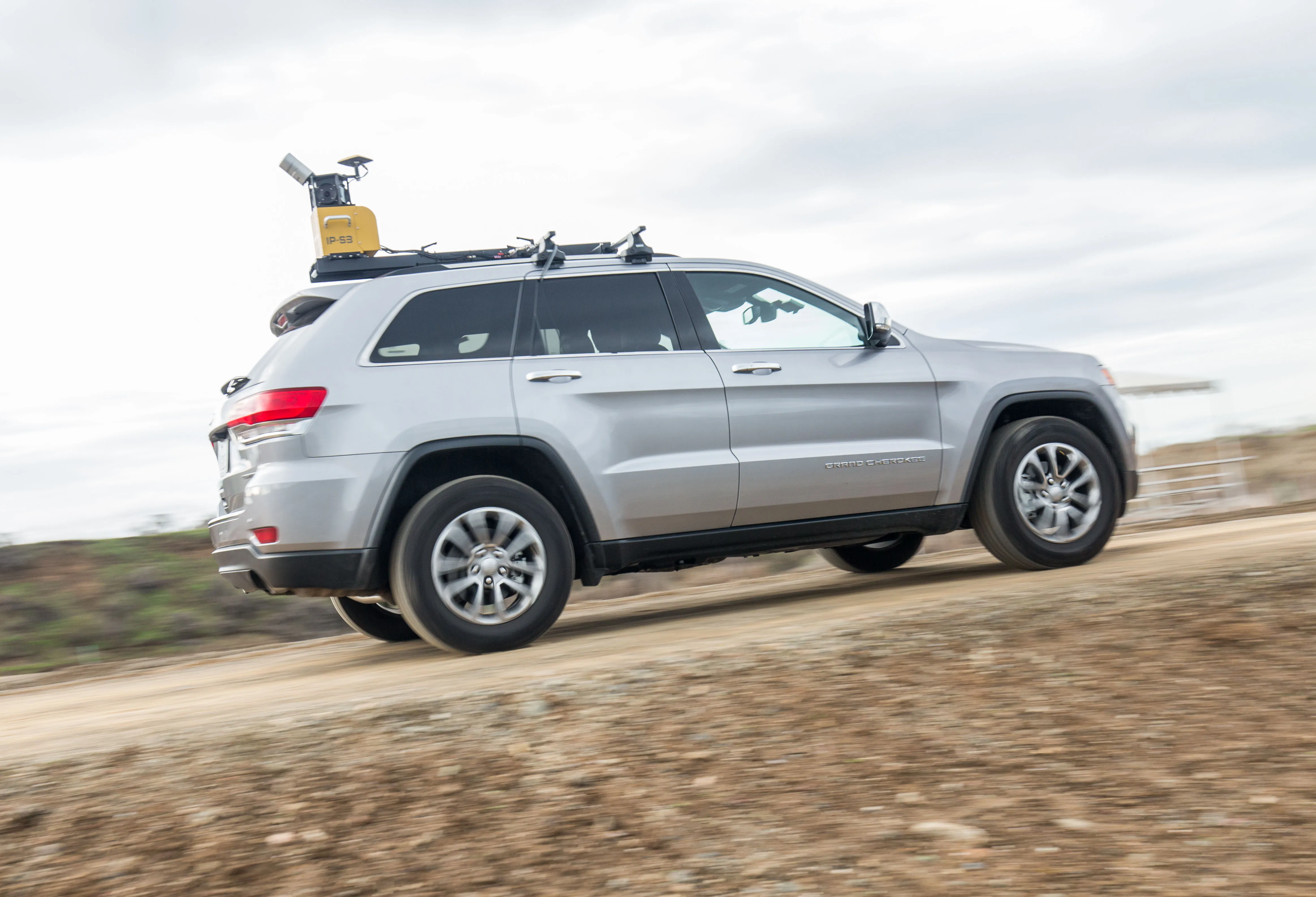
Mobile mapping tool

Leica Geosystems says that its sophisticated new Pegasus TRK system makes mobile mapping smart, autonomous and easy. This reality capture mobile mapping system is claimed to offer the benefits of artificial intelligence, autonomous workflows and intuitive interfaces.
October 14, 2022 Read time: 1 min
The new Pegasus TRK system from Leica Geosystems allows fast and accurate mobile mapping

The package features artificial intelligence capabilities and uses an advanced dynamic laser scanning and expandible imagery system for recording, measuring and visualising environments. This tool increases productivity with automated, intelligent workflows. The Pegasus TRK can be operated by one person, making mapping projects more efficient and cost-effective.

It is suitable for industry professionals new to the technology, while providing reliable, high-quality performance for applications in surveying, transportation and utilities.

The Pegasus TRK solution features an AI-enhanced camera and automatic camera calibration. To comply with privacy regulations, its AI can identify and blur identifiers, such as people and vehicles, in real time. The system can also be used to generate high-definition base maps for autonomous vehicles.

The Pegasus TRK connects with the new Leica Pegasus FIELD software for autonomous data collection and route planning in the field. It also connects with the Leica Cyclone Pegasus OFFICE for input into post-processing and publishing workflows. 

For more information on companies in this article

Related Content

  • Asecap Days – Istanbul 2023
    February 16, 2024
    The “vast lakes of data” collected daily by global highway operators are going to waste meaning opportunities to improve services and boost revenue are continually lost. This must change, reports Geoff Hadwick from the ASECAP Days 2023 conference in Istanbul.
  • Topcon offers compact digital imaging solution
    February 2, 2015
    Topcon claims that its new IP-S3 system offers a compact and lightweight 3D imaging solution. This high density system is said to be five times faster than previous generation tools, while weighing in at just 18kg. Scanning at 700,000 points/second, the system is said to offer data-rich results with its 30MP panoramic imagery and offers a mobile mapping powerhouse, according to the firm. The company says that this high-density and high-resolution camera comes in a unit that is much smaller than its predeces
  • Topcon offers compact digital imaging solution
    January 6, 2017
    Topcon claims that its new IP-S3 system offers a compact and lightweight 3D imaging solution. This high density system is said to be five times faster than previous generation tools, while weighing in at just 18kg. Scanning at 700,000 points/second, the system is said to offer data-rich results with its 30MP panoramic imagery and offers a mobile mapping powerhouse, according to the firm. The company says that this high-density and high-resolution camera comes in a unit that is much smaller than its predeces
  • Optimising operations with construction software gains
    May 20, 2015
    Innovations in construction software are helping boost project efficiency and optimising project operations – Clive Davidson writes Over the past decade, while construction engineers have been putting up buildings or infrastructure, software engineers have been developing a parallel universe where virtual buildings or infrastructure can be created in ever increasing detail. What started with 2D architectural drawings in computer-aided design (CAD) systems, has become a multi-dimensional world, with 3D ge