Mapping improvements

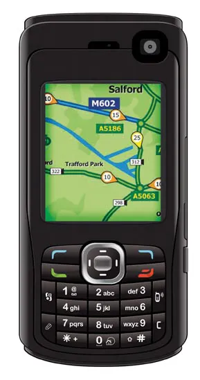
Trimble says that its Construction Manager version 2.5 package offers polygon site management and better support for CAD map overlays, using imagery provided by Google Maps. This advanced remote construction asset management solution combines GPS technology with wireless communication and Internet capabilities. The package can supply quantitative information to analyse and improve asset productivity, saving time and cutting construction project costs. The software features interpret charts, reports, and das
February 13, 2012 Read time: 1 min
2122 Trimble says that its Construction Manager version 2.5 package offers polygon site management and better support for CAD map overlays, using imagery provided by 1224 Google Maps. This advanced remote construction asset management solution combines GPS technology with wireless communication and Internet capabilities. The package can supply quantitative information to analyse and improve asset productivity, saving time and cutting construction project costs. The software features interpret charts, reports, and dashboard views, providing information for analysing and evaluating construction operations. Users can generate multi-sided polygon sites for managing equipment site entries and exits, as well as on-site machine utilisation and productivity reporting. For complex road construction and quarry sites, the package can produce site reports that allow accurate job coding and time-on-site data.

For more information on companies in this article

Related Content

  • Traffic management software tools
    March 5, 2012
    A joint development project between Delcan Corporation and Intelligent Devices Incorporated (IDI) has resulted in the sophisticated Intelligent NETworks product. This is an integrated product that combines the IDI Intelligent Control NTCIP system with the Delcan advanced transportation applications of NETworks. The system can be linked to dynamic message signs (DMS), CCTV and vehicle detector stations (VDS), traffic intersections, as well as environment road weather sensor stations.
  • Sophisticated asphalt paving control technology
    July 27, 2020
    Advances in asphalt paving control systems are helping contractors deliver higher efficiency
  • Laser scanning focuses on asset management
    January 9, 2015
    Laser scanners and improved data collection and analysis software are making light of asset management surveying. David Arminas reports The age of the laser scanner is upon us, taking over from traditional manual methods of surveying, data collection and processing. These new technical developments are making it much easier to process and use the data captured and are providing highways engineers with powerful tools to record, map and visualise their assets. This is good news for highways authorities
  • Machine Control sector is the place for acquisitions
    January 22, 2014
    The machine control sector has been lively in recent months with a major acquisition, the unveiling of new software innovation and landmark testing of new technology to monitor paving temperature. Guy Woodford reports The state road construction authority in the German state of Saxony-Anhalt (LSBB Saxony-Anhalt) has become the first nationally to test MOBA’s new PAVE-IR Scan temperature measurement system at a works site.