Mapping effectively with vehicle-based imaging

Yotta is offering an innovative vehicle-based imaging service that will provide accurate high-resolution panoramic street-level views of highway features. The vehicle is equipped with a 60 megapixel panoramic camera developed by Yotta and uses Applanix satellite positioning technology to log the exact location of each image. The vehicle cam improves street-level mapping operations with accurate 3D images of buildings and other highway features, such as signs, trees, barriers and fences. Called Y360, the veh
July 23, 2012 Read time: 2 mins
5153 Yotta DCL is offering an innovative vehicle-based imaging service that will provide accurate high-resolution panoramic street-level views of highway features. The vehicle is equipped with a 60 megapixel panoramic camera developed by Yotta and uses Applanix satellite positioning technology to log the exact location of each image. The vehicle cam improves street-level mapping operations with accurate 3D images of buildings and other highway features, such as signs, trees, barriers and fences. Called Y360, the vehicle's digital camera captures images every 2m, with the position calculated by combining GPS, inertial and optical tracking systems. These images are processed by Yotta software that gives the precise position and detailed information for each feature captured by the camera. According to the firm, Y360 offers a huge step forward in technology. The vehicle is being used for an array of applications including highway asset collection for local authorities, highways agencies and their contractors, and 3D mapping for utility companies.

For more information on companies in this article

Related Content

  • Macleod Simmonds introduces GPR offering
    October 17, 2012
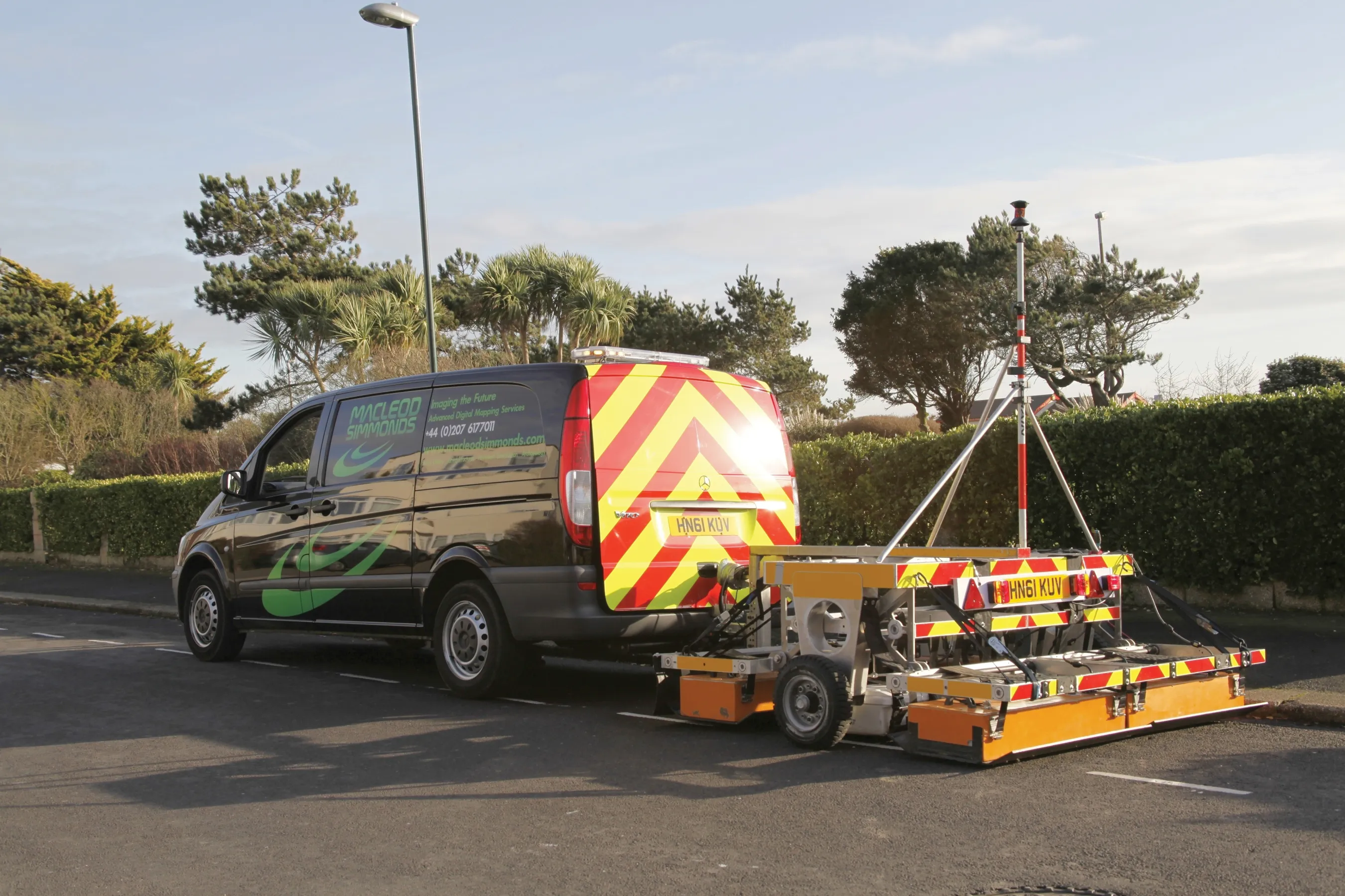
    UK-based Macleod Simmonds Ltd (MSL) has launched a GPR (Ground Probing Radar) consultancy providing both a survey service and software package which, the firm says, takes the output from multi-antenna surveys to a “whole new dimension”. The firm says it can now provide survey capability for almost any type of terrain, application or location that end users might require. For the existing roadway or smooth surface terrain survey location, MSL has a Carriageway System based on a multi-antenna set up from Ital
  • Sokkia’s “redefinition of robotics”
    December 20, 2012
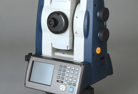
    Sokkia has unveiled what it describes as “redefinition of robotics” with its SX series of total stations. The SX series are said to be compact and lightweight systems containing the most modern technology available. Sokkia says the SX’s high-accuracy robotic technology includes an advanced angle measurement system, RED-tech technology, reflectorless EDM, Bluetooth Class 1 long-range data communication, and what is said to be an extremely accurate auto-tracking system using RC-PR5 remote control. Combining t
  • New technology solutions
    April 30, 2024
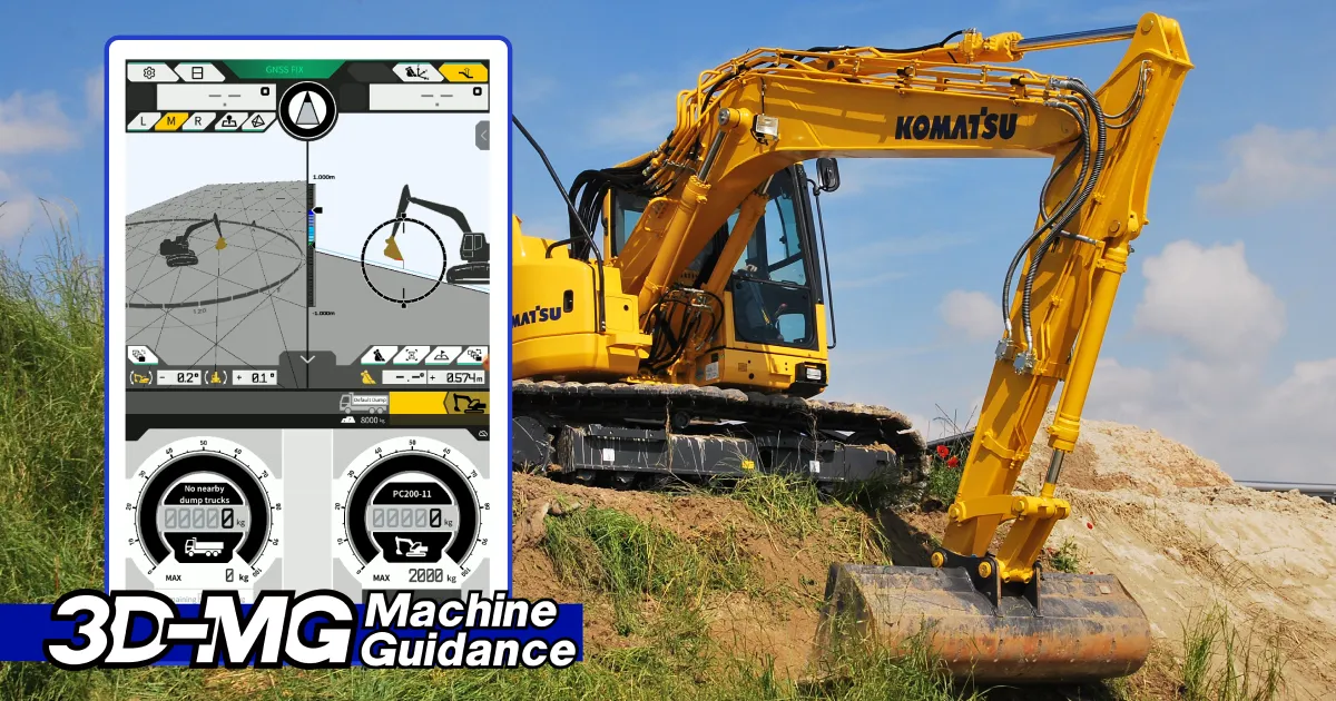
    Construction machinery manufacturers are introducing new systems that can boost machine efficiency and site safety – Mike Woof writes
  • New concrete paving equipment
    May 22, 2023
    The major players in the concrete slipforming market are offering an array of new and improved technologies for users