Mapping effectively with vehicle-based imaging

Yotta is offering an innovative vehicle-based imaging service that will provide accurate high-resolution panoramic street-level views of highway features. The vehicle is equipped with a 60 megapixel panoramic camera developed by Yotta and uses Applanix satellite positioning technology to log the exact location of each image. The vehicle cam improves street-level mapping operations with accurate 3D images of buildings and other highway features, such as signs, trees, barriers and fences. Called Y360, the veh
July 23, 2012 Read time: 2 mins
5153 Yotta DCL is offering an innovative vehicle-based imaging service that will provide accurate high-resolution panoramic street-level views of highway features. The vehicle is equipped with a 60 megapixel panoramic camera developed by Yotta and uses Applanix satellite positioning technology to log the exact location of each image. The vehicle cam improves street-level mapping operations with accurate 3D images of buildings and other highway features, such as signs, trees, barriers and fences. Called Y360, the vehicle's digital camera captures images every 2m, with the position calculated by combining GPS, inertial and optical tracking systems. These images are processed by Yotta software that gives the precise position and detailed information for each feature captured by the camera. According to the firm, Y360 offers a huge step forward in technology. The vehicle is being used for an array of applications including highway asset collection for local authorities, highways agencies and their contractors, and 3D mapping for utility companies.

For more information on companies in this article

Related Content

  • SECMAIR’s advanced chipsealer solution
    March 7, 2018
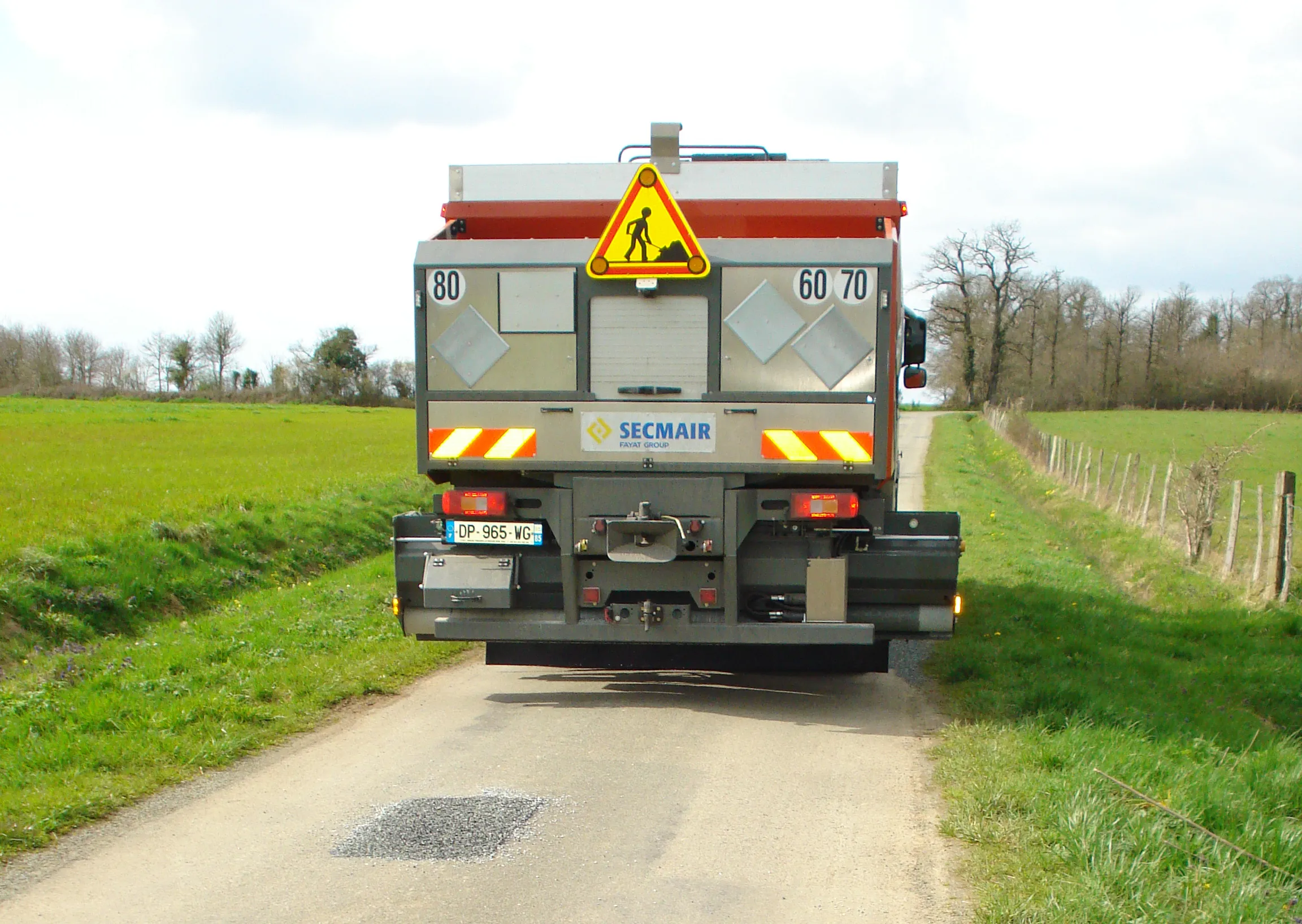
    SECMAIR is introducing an innovative Chipsealer machine that can improve the efficiency and safety of road repair jobs. The SECMAIR CT360 Chipsealer benefits from the firm’s novel laser scanning system to detect potholes and cracks in the road. The system is mounted at the front of the truck and scans back and forward continuously, providing accurate detection of road surface faults. The laser scanning forms part of the firm’s E TRAXX technology, which is said to offer full traceability for road maintenance
  • Quantm is making Trimble one of the world’s leading BIM market challengers
    December 19, 2016
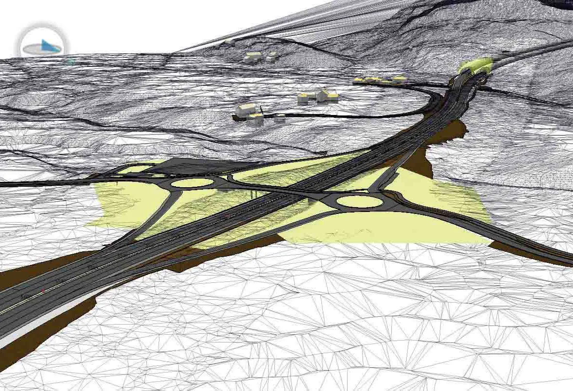
    When Trimble first launched its Quantm software system a decade or so ago, the company was making an important step into end-to-end BIM modelling. The rules of the game were changing fast. Adrian Greeman reports When survey and machine control equipment maker Trimble bought the Australian road planning software system Quantm in 2006 it might not have realised quite what it was leading to. A decade later, Quantm is helping to put Trimble among the big players in the BIM (building information modelling) en
  • Trends in compaction machine technology
    February 20, 2012
    More efficient and productive compaction solutions are coming to market shortly, Mike Woof reports. Several key trends are emerging in the asphalt compaction market with the development of the latest generation machines. Performance and productivity remain key issues for compactor manufacturers with firms keen to maximise output from their latest units.