Mapping effectively with vehicle-based imaging

Yotta is offering an innovative vehicle-based imaging service that will provide accurate high-resolution panoramic street-level views of highway features. The vehicle is equipped with a 60 megapixel panoramic camera developed by Yotta and uses Applanix satellite positioning technology to log the exact location of each image. The vehicle cam improves street-level mapping operations with accurate 3D images of buildings and other highway features, such as signs, trees, barriers and fences. Called Y360, the veh
July 23, 2012 Read time: 2 mins
5153 Yotta DCL is offering an innovative vehicle-based imaging service that will provide accurate high-resolution panoramic street-level views of highway features. The vehicle is equipped with a 60 megapixel panoramic camera developed by Yotta and uses Applanix satellite positioning technology to log the exact location of each image. The vehicle cam improves street-level mapping operations with accurate 3D images of buildings and other highway features, such as signs, trees, barriers and fences. Called Y360, the vehicle's digital camera captures images every 2m, with the position calculated by combining GPS, inertial and optical tracking systems. These images are processed by Yotta software that gives the precise position and detailed information for each feature captured by the camera. According to the firm, Y360 offers a huge step forward in technology. The vehicle is being used for an array of applications including highway asset collection for local authorities, highways agencies and their contractors, and 3D mapping for utility companies.

For more information on companies in this article

Related Content

  • Developments in bridge monitoring technology
    July 9, 2012
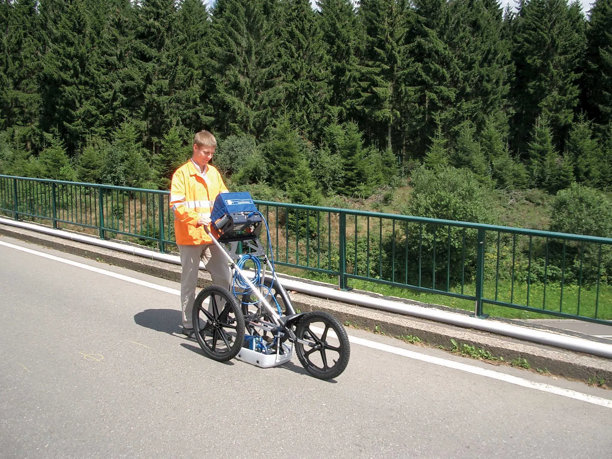
    Advances in bridge monitoring technology should help ensure structural safety Highly productive, Fugro Aperio's ground penetrating radar system offers accurate scanning of bridge condition Bridge engineers can now benefit from a new technology designed to pinpoint shallow targets, such as masonry fixings, reinforcement bars or delamination between thin layers. This uses the latest high resolution ground penetrating radar (GPR) antenna and has been developed by Cambridge-based Fugro Aperio in the UK. Operati
  • GSSI offers bridge monitoring tool
    May 19, 2015
    GSSI is introducing the sophistictaed BridgeScan condition assessment system. This package is used for concrete inspection and utility mapping of bridges. Said to be both affordable and versatile, this ground penetrating radar (GPR) equipment can be used to assess concrete condition on bridge decks, as well as parking structures. Using this unit offers accurate assessments of concrete condition, which improves repair cost estimation and saves time and money. With BridgeScan, identification of rebar
  • Italy’s renaissance bridge
    July 21, 2020
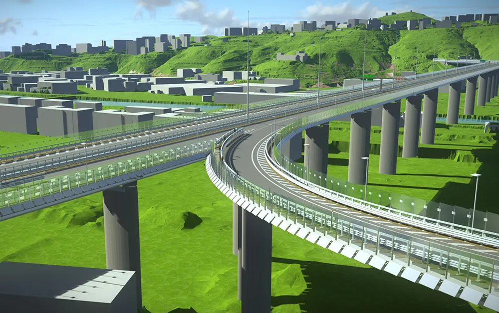
    Italian consulting company Italferr created a digital twin for designing the new Genoa bridge and won accolades at Bentley Systems: Bentley Year in Infrastructure Awards
  • Benin airport job for Topcon’s RD-M1 scanner
    May 13, 2022
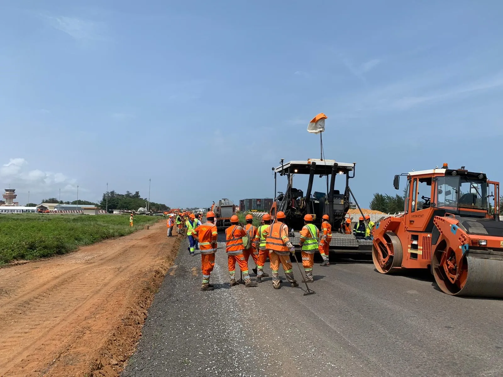
    A $16 million runway project at Cotonou Cadjehoun Airport needed Topcon Positioning’s RD-M1 road scanner to ensure precise milling and quality resurfacing.