Mapping effectively with vehicle-based imaging

Yotta is offering an innovative vehicle-based imaging service that will provide accurate high-resolution panoramic street-level views of highway features. The vehicle is equipped with a 60 megapixel panoramic camera developed by Yotta and uses Applanix satellite positioning technology to log the exact location of each image. The vehicle cam improves street-level mapping operations with accurate 3D images of buildings and other highway features, such as signs, trees, barriers and fences. Called Y360, the veh
July 23, 2012 Read time: 2 mins
5153 Yotta DCL is offering an innovative vehicle-based imaging service that will provide accurate high-resolution panoramic street-level views of highway features. The vehicle is equipped with a 60 megapixel panoramic camera developed by Yotta and uses Applanix satellite positioning technology to log the exact location of each image. The vehicle cam improves street-level mapping operations with accurate 3D images of buildings and other highway features, such as signs, trees, barriers and fences. Called Y360, the vehicle's digital camera captures images every 2m, with the position calculated by combining GPS, inertial and optical tracking systems. These images are processed by Yotta software that gives the precise position and detailed information for each feature captured by the camera. According to the firm, Y360 offers a huge step forward in technology. The vehicle is being used for an array of applications including highway asset collection for local authorities, highways agencies and their contractors, and 3D mapping for utility companies.

For more information on companies in this article

Related Content

  • Fast laser scanning from Hexagon
    June 19, 2023
    Hexagon says that its next-generation Leica BLK360 laser scanner offers precise and accurate scanning operations.
  • Safety measures aid workzone accident reduction
    February 20, 2012
    Everyone connected with the highway industry is involved in the efforts to cut down the number of work zone accidents. Patrick Smith reports. A few months ago, as road work resumed on America's highways and bridges, US Transportation Secretary Ray LaHood called on drivers to use extra caution in work zones. At the same time he commended the success in reducing overall roadway fatalities in each of the last seven years.
  • Road construction software innovations
    February 13, 2012
    A range of key software innovations are now available for road construction applications from various suppliers - Adrian Greeman writes. Two significant and highly economic alternatives are now available to the major CAD providers both from Belgium and both offering interesting features. First is Pythagoras, which describes itself as a modern CAD program specially designed for topographical applications which include land surveying, road design and city planning.
  • XenomatiX launches XenoTrack Dual Lane
    March 6, 2023
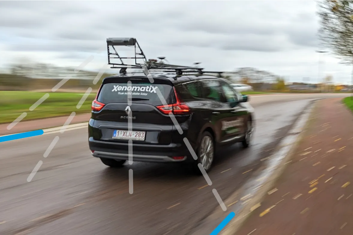
    XenoTrack Dual Lane surveys two neighbouring lanes in a single pass while the survey vehicle drives in one lane.