Fast laser scanning from Hexagon

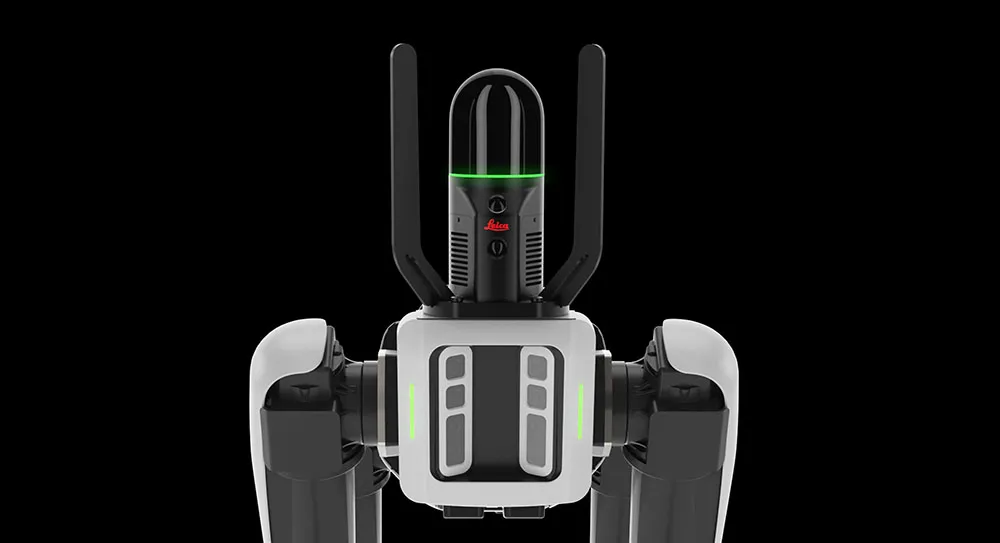
Hexagon says that its next-generation Leica BLK360 laser scanner offers precise and accurate scanning operations.
June 19, 2023 Read time: 1 min
© Lapandr | Dreamstime.com

According to the firm, the new BLK360 creates photorealistic, accurate digital twins within just 20 seconds. Like its predecessor, the new BLK360 can introduce reality capture to new industries and markets due to its speed, portability, and ease of use. The new BLK360 is said to be an ideal sensor for any application requiring fast, up-to-date scanning, such as digital construction and building life cycle monitoring. It enables users to move quickly about any environment without interruption, viewing and sharing the data during the capture process to provide real-time access to updated digital twins. The BLK360 is said to boost Hexagon’s portfolio of sensor-software systems. These can generate Smart Digital Realities by merging digital and physical worlds in real time. Combined, the new scanning and imaging technologies onboard the BLK360 enable fast and accurate reality capture workflows. BLK360 data can be automatically uploaded to HxDR, Hexagon’s cloud-based reality capture platform where users can build their own Smart Digital Realities.

For more information on companies in this article

Related Content

  • Accurate data capture with Hexagon
    January 2, 2022
    Hexagon is introducing the Leica BLK ARC and the Leica BLK2FLY tools, which offer speed, portability and mobility for autonomous mobile reality capture.
  • Hexagon and Nemetschek form partnership
    September 19, 2024
    Hexagon and Nemetschek have formed a key partnership.
  • Laser scanning focuses on asset management
    January 9, 2015
    Laser scanners and improved data collection and analysis software are making light of asset management surveying. David Arminas reports The age of the laser scanner is upon us, taking over from traditional manual methods of surveying, data collection and processing. These new technical developments are making it much easier to process and use the data captured and are providing highways engineers with powerful tools to record, map and visualise their assets. This is good news for highways authorities
  • Sophisticated scanning tool from Leica Geosystems
    November 8, 2017
    A new laser scanning tool from Leica Geosystems offers accurate and fast 3D imaging laser scanning capabilities. The Leica BLK360 is said to be compact and easy to use, offering powerful spherical image capture duties. The firm says that the unit allows professionals to capture 360° imagery within minutes.