Mapping effectively with vehicle-based imaging

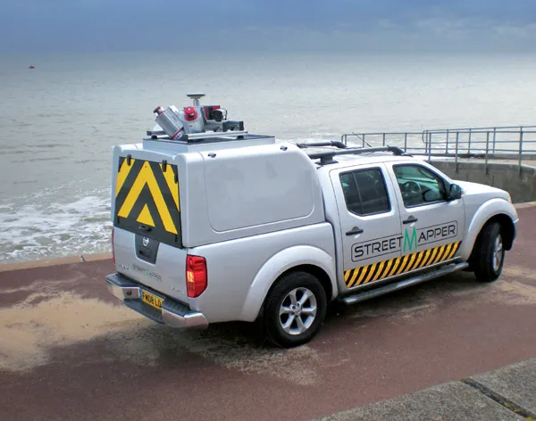
Yotta is offering an innovative vehicle-based imaging service that will provide accurate high-resolution panoramic street-level views of highway features. The vehicle is equipped with a 60 megapixel panoramic camera developed by Yotta and uses Applanix satellite positioning technology to log the exact location of each image. The vehicle cam improves street-level mapping operations with accurate 3D images of buildings and other highway features, such as signs, trees, barriers and fences. Called Y360, the veh
July 23, 2012 Read time: 2 mins
5153 Yotta DCL is offering an innovative vehicle-based imaging service that will provide accurate high-resolution panoramic street-level views of highway features. The vehicle is equipped with a 60 megapixel panoramic camera developed by Yotta and uses Applanix satellite positioning technology to log the exact location of each image. The vehicle cam improves street-level mapping operations with accurate 3D images of buildings and other highway features, such as signs, trees, barriers and fences. Called Y360, the vehicle's digital camera captures images every 2m, with the position calculated by combining GPS, inertial and optical tracking systems. These images are processed by Yotta software that gives the precise position and detailed information for each feature captured by the camera. According to the firm, Y360 offers a huge step forward in technology. The vehicle is being used for an array of applications including highway asset collection for local authorities, highways agencies and their contractors, and 3D mapping for utility companies.

For more information on companies in this article

Related Content

  • Technology improving safety on Australian roads
    July 14, 2023
    New technology is improving safety on Australian roads.
  • Topcon introduces sophisticated GIS technology
    November 20, 2014
    Topcon Positioning Group is broadening its range of GIS solutions with the introduction of the new FC-500 data controller and MAGNET Relay package. The FC-500 unit features a large, bright sunlight-readable display and is compatible with either the Topcon eGIS or MAGNET Field GIS software.
  • Keeping tabs on mobile assets with TrakitALL
    July 17, 2012
    The TrakitALL Asset Locating and Logistics, the latest innovation to the Trakit suite of signalling, time and attendance solutions, is designed specifically for the ready-mix, asphalt and aggregate industry. The satellite-managed global asset locating system collects data from remote wireless devices attached to fixed and mobile assets to help users track, secure and better manage their production and hauling hardware assets. The module can be used as a stand-alone tool, or seamlessly integrated with the Tr
  • System surveys Ireland’s M8
    February 20, 2012
    Geospatial engineering company Coastway has completed an as-built survey of the final section of the M8 motorway in Ireland using the StreetMapper mobile mapping system.