Mapping effectively with vehicle-based imaging

Yotta is offering an innovative vehicle-based imaging service that will provide accurate high-resolution panoramic street-level views of highway features. The vehicle is equipped with a 60 megapixel panoramic camera developed by Yotta and uses Applanix satellite positioning technology to log the exact location of each image. The vehicle cam improves street-level mapping operations with accurate 3D images of buildings and other highway features, such as signs, trees, barriers and fences. Called Y360, the veh
July 23, 2012 Read time: 2 mins
5153 Yotta DCL is offering an innovative vehicle-based imaging service that will provide accurate high-resolution panoramic street-level views of highway features. The vehicle is equipped with a 60 megapixel panoramic camera developed by Yotta and uses Applanix satellite positioning technology to log the exact location of each image. The vehicle cam improves street-level mapping operations with accurate 3D images of buildings and other highway features, such as signs, trees, barriers and fences. Called Y360, the vehicle's digital camera captures images every 2m, with the position calculated by combining GPS, inertial and optical tracking systems. These images are processed by Yotta software that gives the precise position and detailed information for each feature captured by the camera. According to the firm, Y360 offers a huge step forward in technology. The vehicle is being used for an array of applications including highway asset collection for local authorities, highways agencies and their contractors, and 3D mapping for utility companies.

For more information on companies in this article

Related Content

  • IRD further strengthens business in Indiana
    September 15, 2015
    International Road Dynamics (IRD) has been awarded an additional Quantity Purchase Agreement valued at approximately US$9.9 million from the Indiana Department of Transportation. Under this agreement, IRD will be issued task orders to provide Weigh-in-Motion (WIM) and Virtual Weigh-in-Motion System (VWS) systems including site and sensor installation, maintenance, and repair. The systems and services supplied under this contract will provide high accuracy traffic and weight data for planning, roadway
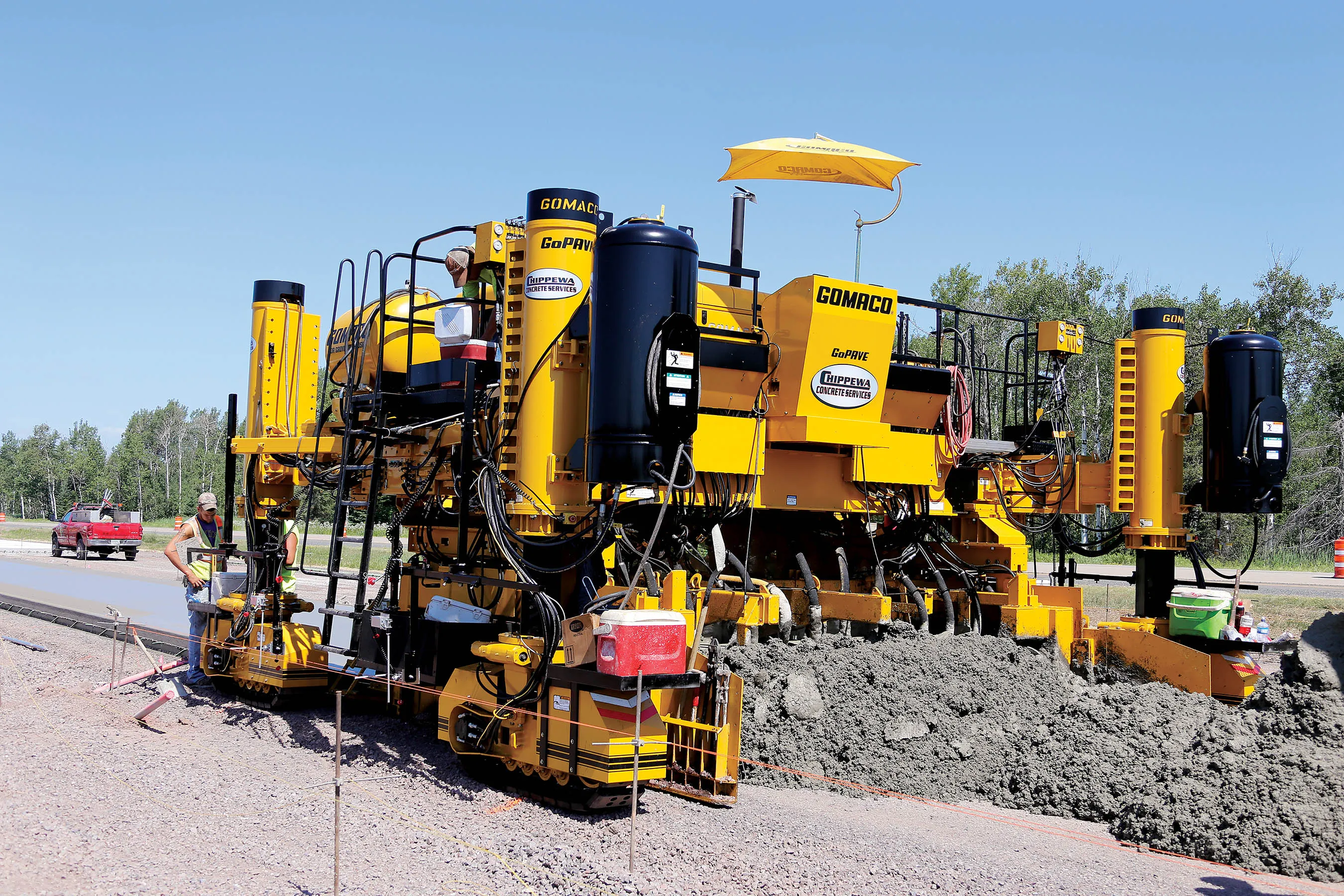
  • GOMACO claims new paver is smartest available yet
    March 14, 2016
    GOMACO claims that its all-new GP3 slipform paver is the most sophisticated on the market, thanks to a series of new features. The machine is designed for paving widths of up to 9.14m and benefits from a dual-telescoping design that boosts its versatility and adaptability. The machine has a smart frame widening system to allow multiple width changes, as well as smart leg positioning and smart steering capabilities due to its full-steer tracks. These features are all controlled by its GOMACO-developed G+ dig
  • GOMACO claims new paver is smartest available yet
    January 6, 2017
    GOMACO claims that its all-new GP3 slipform paver is the most sophisticated on the market, thanks to a series of new features. The machine is designed for paving widths of up to 9.14m and benefits from a dual-telescoping design that boosts its versatility and adaptability. The machine has a smart frame widening system to allow multiple width changes, as well as smart leg positioning and smart steering capabilities due to its full-steer tracks. These features are all controlled by its GOMACO-developed G+ dig
  • New ANPR system from vysionics
    May 28, 2013
    Vysionics launched VECTOR, its latest ANPR technology, during TRAFFEX 2013 in Birmingham, central England. Said to combine decades of ANPR experience into a single, highly capable and compact integrated unit, VECTOR’s two high resolution cameras provide ANPR and scene overview images, including day/night mode allowing capture on a completely dark road. Images can be transferred via a wide range of communications media, or stored on local high capacity memory. A GPS clock, compass, accelerometer and two lig