Mapping effectively with vehicle-based imaging

Yotta is offering an innovative vehicle-based imaging service that will provide accurate high-resolution panoramic street-level views of highway features. The vehicle is equipped with a 60 megapixel panoramic camera developed by Yotta and uses Applanix satellite positioning technology to log the exact location of each image. The vehicle cam improves street-level mapping operations with accurate 3D images of buildings and other highway features, such as signs, trees, barriers and fences. Called Y360, the veh
July 23, 2012 Read time: 2 mins
5153 Yotta DCL is offering an innovative vehicle-based imaging service that will provide accurate high-resolution panoramic street-level views of highway features. The vehicle is equipped with a 60 megapixel panoramic camera developed by Yotta and uses Applanix satellite positioning technology to log the exact location of each image. The vehicle cam improves street-level mapping operations with accurate 3D images of buildings and other highway features, such as signs, trees, barriers and fences. Called Y360, the vehicle's digital camera captures images every 2m, with the position calculated by combining GPS, inertial and optical tracking systems. These images are processed by Yotta software that gives the precise position and detailed information for each feature captured by the camera. According to the firm, Y360 offers a huge step forward in technology. The vehicle is being used for an array of applications including highway asset collection for local authorities, highways agencies and their contractors, and 3D mapping for utility companies.

For more information on companies in this article

Related Content

  • Fugro to use its ARAN system in Dutch surveying deal
    May 9, 2019
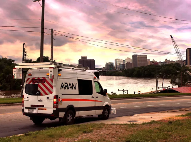
    Fugro, a geo-data specialist, is using the latest version of its Automatic Road Analyser (ARAN) in a new five-year pavement survey contract for Dutch highways. The contract, with an option to extend to 10 years, was awarded by the Dutch infrastructure agency Rijkswaterstaat. It includes the collection of surface condition and road measurement data from 8,600km of principal highways each year. The company’s Automatic Road Analyser - ARAN - which is adapted to meet European specifications and includes i
  • ASECAP: maintenance mindshift turns spending into investment
    August 4, 2017
    With an estimated value of €8 trillion, the road infrastructure is probably the European Union’s largest single asset. It accounts for 83% of passenger journeys and more than 70% of freight movement. Despite this importance, global investment in roads - especially maintenance - has fallen, said Christophe Nicodeme, European Road Federation secretary general. There are grave consequences, noted Nicodeme in his opening keynote address to the recent Study and Information Days gathering, an annual event for mem
  • 1Spatial works with Arizona to visualise road changes
    March 8, 2017
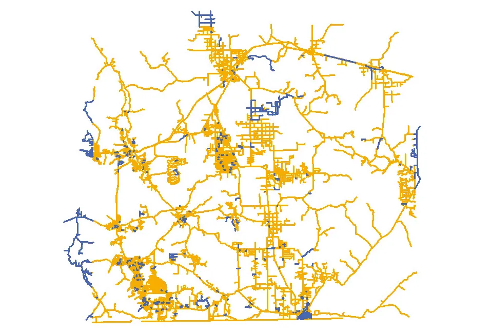
    The department of transportation in the US state of Arizona has automated its data processes, says Duncan Guthrie. In Arizona, the Department of Transportation (ADOT) is improving the way it responds to the demand for information from the Federal Highways Administration (FHWA). ADOT is implementing an automated, repeatable process to simplify and smooth the creation and maintenance of their state-wide dataset. This will meet reporting requirements for ARNOLD - All Road Network Of Linear Referenced Data - an
  • Don't buy, subscribe instead... and stay ahead of the pack
    September 19, 2024
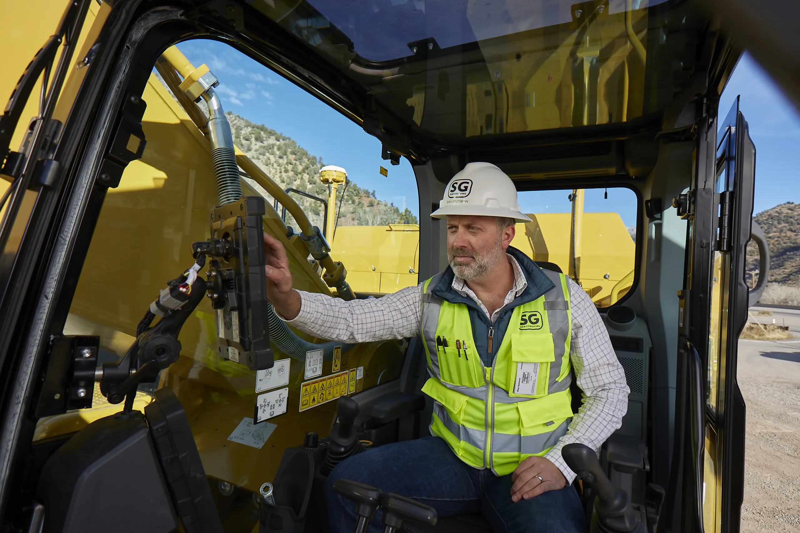
    The traditional way of doing things is to own the construction equipment you need on site. You can buy, or you can rent. You mix and match your technology needs with what is happening on site and your costs go up and down accordingly. However, a new model is emerging: Subscriptions. Take out a flat-fee plan and let someone else make sure you can get access to the latest thinking and the cleverest technology. Pete Kennedy reports.