Mapping effectively with vehicle-based imaging

Yotta is offering an innovative vehicle-based imaging service that will provide accurate high-resolution panoramic street-level views of highway features. The vehicle is equipped with a 60 megapixel panoramic camera developed by Yotta and uses Applanix satellite positioning technology to log the exact location of each image. The vehicle cam improves street-level mapping operations with accurate 3D images of buildings and other highway features, such as signs, trees, barriers and fences. Called Y360, the veh
July 23, 2012 Read time: 2 mins
5153 Yotta DCL is offering an innovative vehicle-based imaging service that will provide accurate high-resolution panoramic street-level views of highway features. The vehicle is equipped with a 60 megapixel panoramic camera developed by Yotta and uses Applanix satellite positioning technology to log the exact location of each image. The vehicle cam improves street-level mapping operations with accurate 3D images of buildings and other highway features, such as signs, trees, barriers and fences. Called Y360, the vehicle's digital camera captures images every 2m, with the position calculated by combining GPS, inertial and optical tracking systems. These images are processed by Yotta software that gives the precise position and detailed information for each feature captured by the camera. According to the firm, Y360 offers a huge step forward in technology. The vehicle is being used for an array of applications including highway asset collection for local authorities, highways agencies and their contractors, and 3D mapping for utility companies.

For more information on companies in this article

Related Content

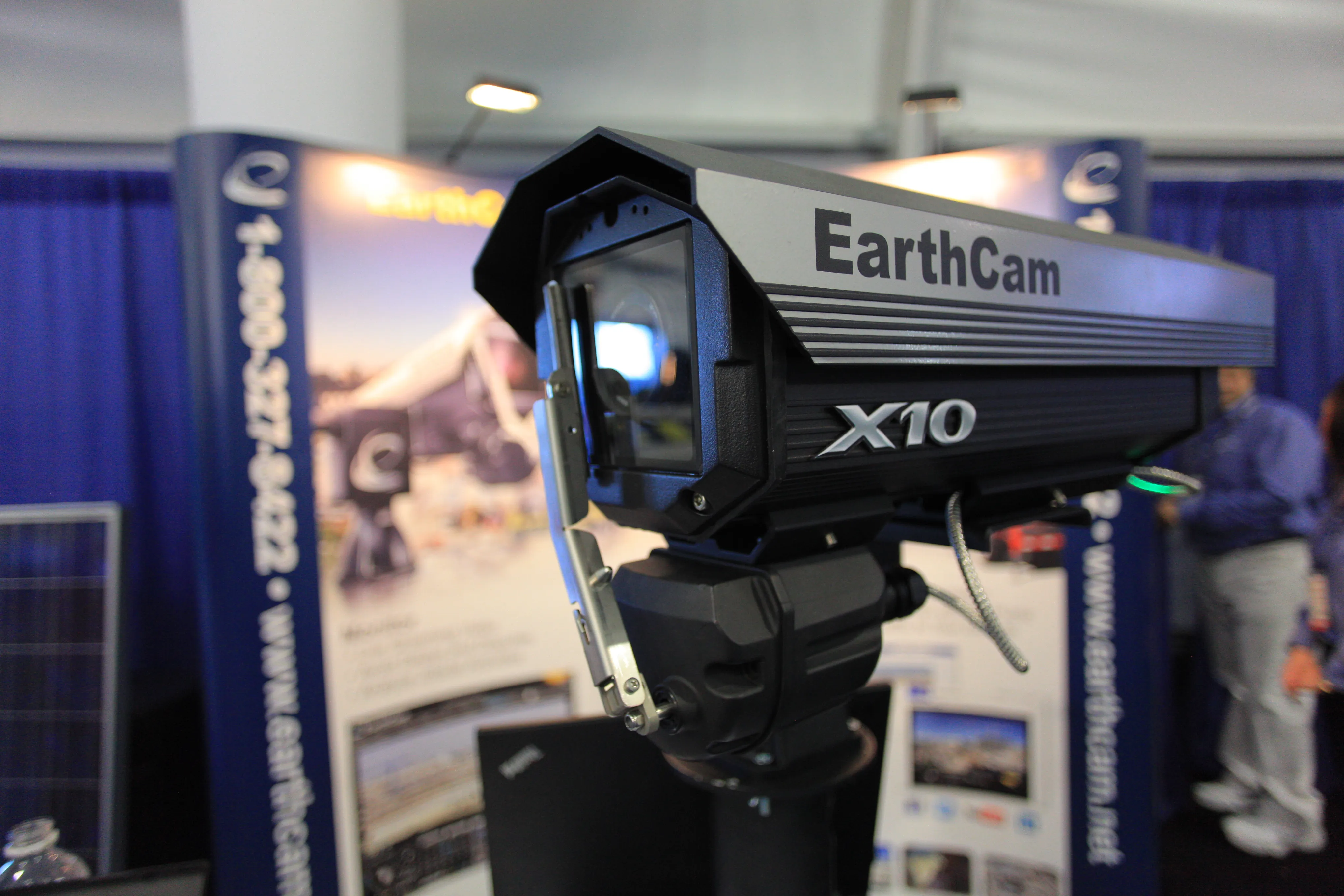
  • 10 billion pixel camera offered by EarthCam.net
    March 7, 2014
    To say the GigapixelCam X10 is a high-powered camera is an understatement. The camera, unveiled by EarthCam.net at Conexpo 2014, is capable of taking 10 billion pixel, 360º panoramic images. “We help monitor, document and promote,” said Brian Cury, CEO and founder of the company. The monitoring comes in the form of live-streaming video that can bring the job site to a desktop. The documenting is achieved through archiving photos throughout the process, should a dispute surface.
  • Making a base
    July 20, 2012
    Soil stabilisation offers a cost effective solution for road construction in the right conditions Ensuring the soil underneath the aggregate base of a road has been stabilised with cement, lime or fly-ash can provide a greater working life and a reduced risk of problems that can arise as the road ages, such as subsidence. The technology works particularly well in ground with high clay content and where there are local shortages of stone for use in aggregates. Reducing the need for aggregates where they are
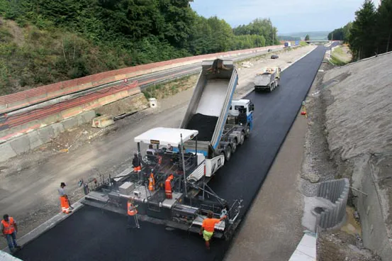
  • Swiss mini-motorways made bigger
    July 10, 2012
    Widening the busy A4 road in Switzerland to four lanes was achieved quickly by using the latest paving technology. Increased traffic required the widening of the A4 from two to four lanes along a 20km section, with two lanes separated by a central divider in each direction. Carrying 20,000-25,000 vehicles/day, the trunk road between Winterthur and Schaffhausen was one of Switzerland's busiest two-lane stretches, and as a result, the Federal Council of Switzerland in Bern planned an enlargement of the dual-l
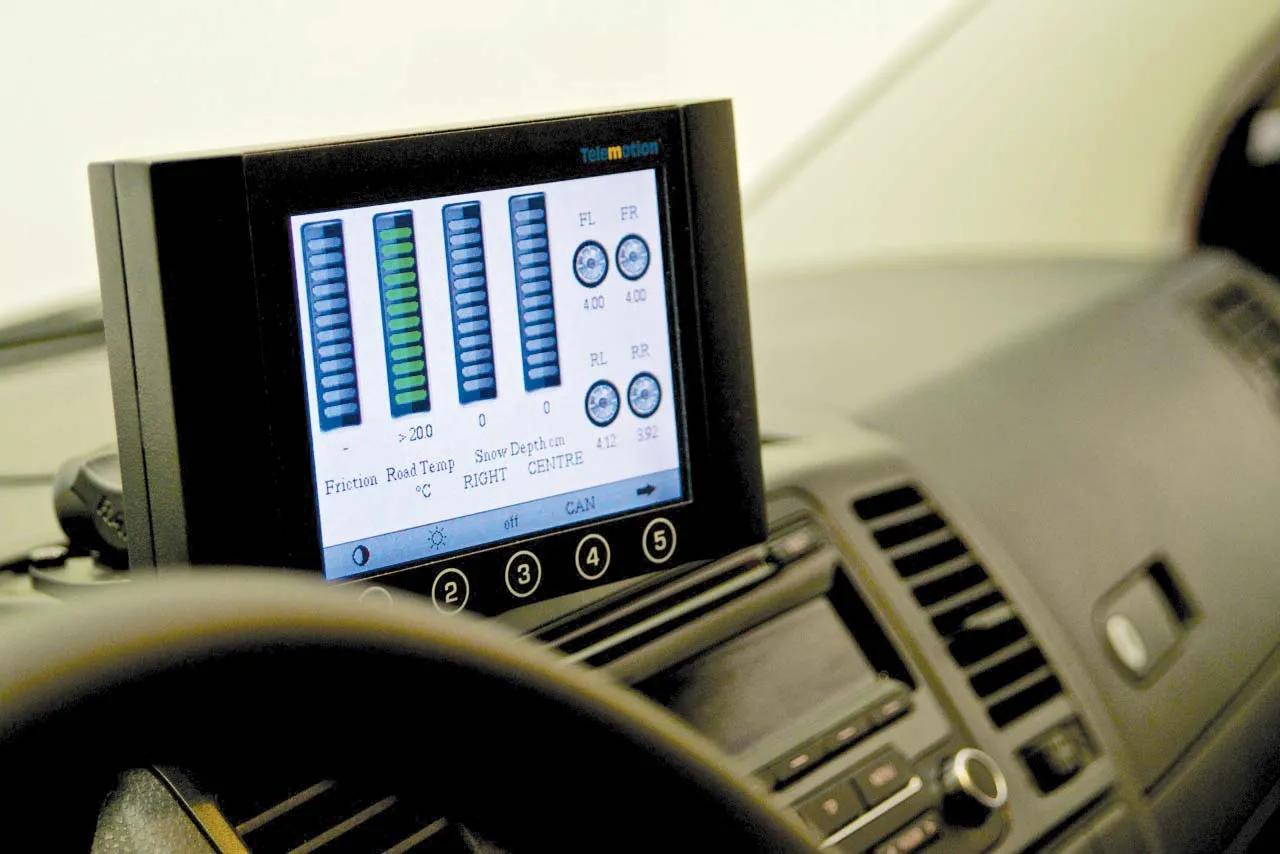
  • Accurate road surface analysis system from Telemotion
    August 13, 2014
    A sophisticated road surface friction monitoring system is now being offered by Telemotion. This advanced Surface Friction System can capture real-time data on road surfaces for winter roads maintenance and warnings for drivers. The system operates on asphalt, concrete or snow, and even accurately calculates the depth of snow on the surface, as well as temperatures.