Mapping effectively with vehicle-based imaging

Yotta is offering an innovative vehicle-based imaging service that will provide accurate high-resolution panoramic street-level views of highway features. The vehicle is equipped with a 60 megapixel panoramic camera developed by Yotta and uses Applanix satellite positioning technology to log the exact location of each image. The vehicle cam improves street-level mapping operations with accurate 3D images of buildings and other highway features, such as signs, trees, barriers and fences. Called Y360, the veh
July 23, 2012 Read time: 2 mins
5153 Yotta DCL is offering an innovative vehicle-based imaging service that will provide accurate high-resolution panoramic street-level views of highway features. The vehicle is equipped with a 60 megapixel panoramic camera developed by Yotta and uses Applanix satellite positioning technology to log the exact location of each image. The vehicle cam improves street-level mapping operations with accurate 3D images of buildings and other highway features, such as signs, trees, barriers and fences. Called Y360, the vehicle's digital camera captures images every 2m, with the position calculated by combining GPS, inertial and optical tracking systems. These images are processed by Yotta software that gives the precise position and detailed information for each feature captured by the camera. According to the firm, Y360 offers a huge step forward in technology. The vehicle is being used for an array of applications including highway asset collection for local authorities, highways agencies and their contractors, and 3D mapping for utility companies.

For more information on companies in this article

Related Content

  • New non-destructive testing technologies for roads and bridges
    July 11, 2018
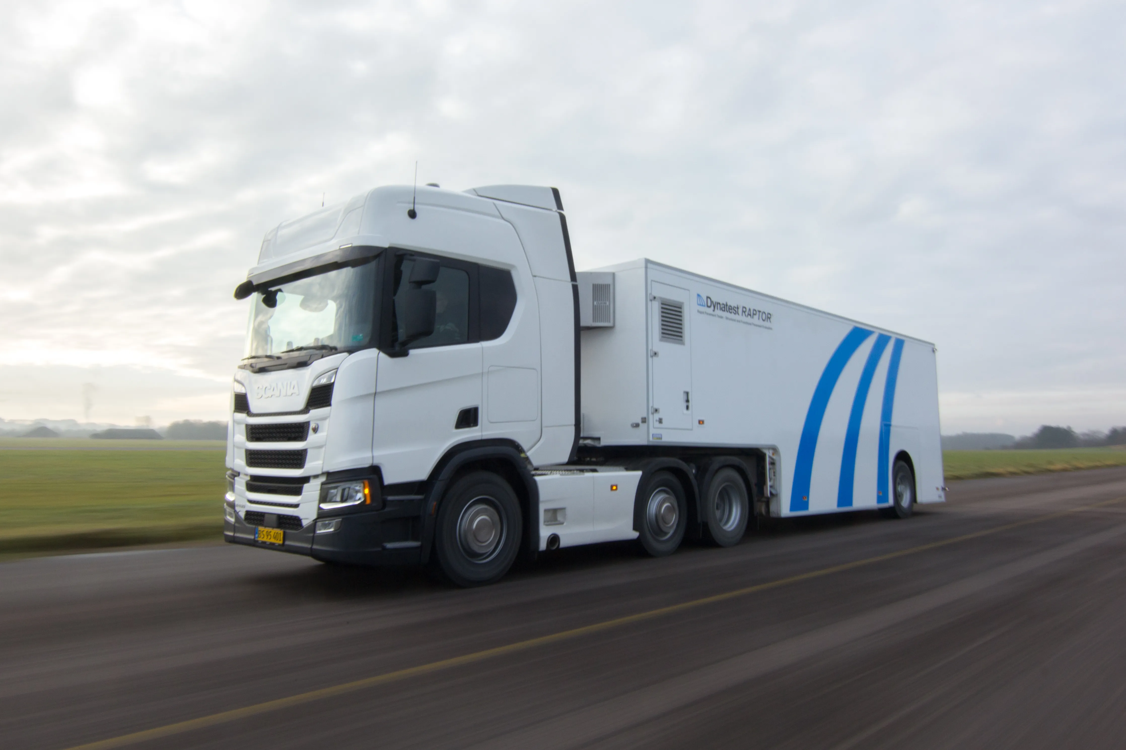
    Two new technologies for non-destructive testing offer key benefits, one suiting road surfaces, the other suiting concrete structures - Kristina Smith reports Dynatest has developed a new way to measure and record the state of pavements, using a machine that travels at the same speed as traffic. The Rapid Pavement Tester (Raptor) has been seven years in the making and offers road owners the chance to have comprehensive surveys without the need to disrupt traffic. “People have been wanting to do this for
  • New concrete construction technology
    April 6, 2020
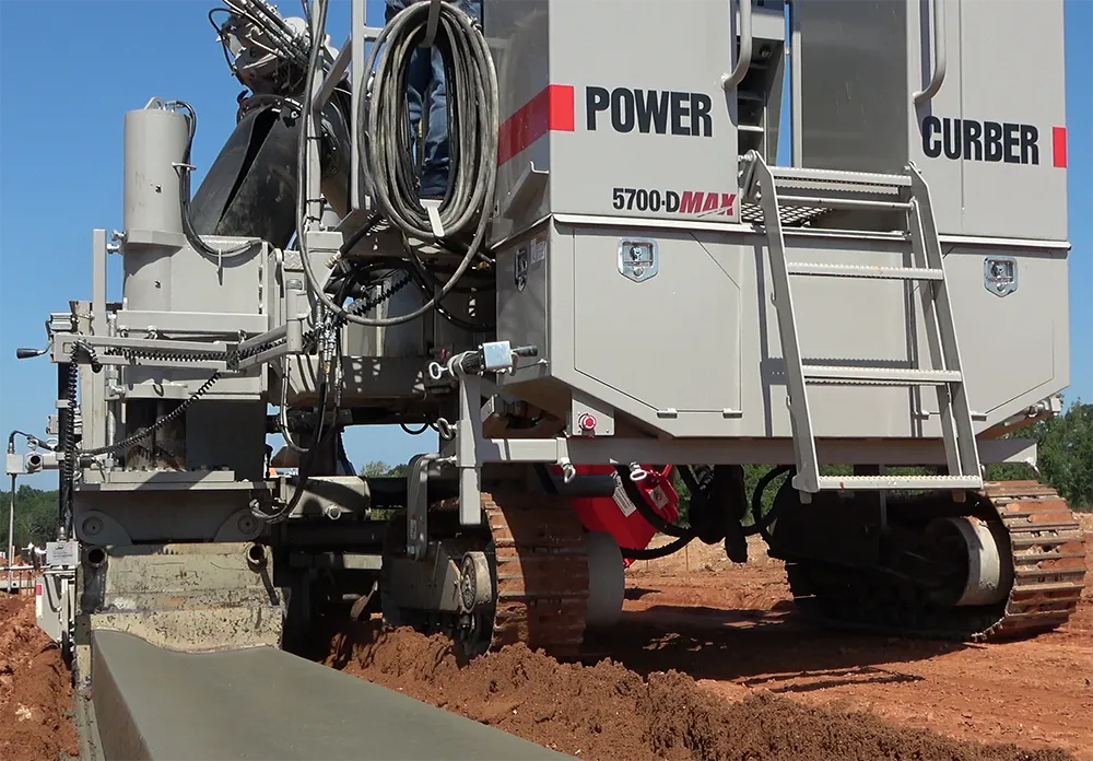
    New concrete construction technology is being unveiled at the upcoming World of Concrete exhibition in Las Vegas
  • GNSS road pricing a step closer
    April 12, 2012
    IRF BPC bringing GNSS-based road pricing a step closer to maturity. Today, road transport faces major challenges such as the ever-increasing need for safety, as well as for reduced congestion and pollution. These problems are particularly critical in highly populated zones, notably big cities and their surrounding areas. Different schemes are being proposed to improve the situation, including road pricing systems to automatically charge drivers for their use of road infrastructures.
  • GNSS road pricing a step closer
    February 23, 2012
    GNSS road pricing a step closer. Today, road transport faces major challenges such as the ever-increasing need for safety, as well as for reduced congestion and pollution.