Mapping effectively with vehicle-based imaging

Yotta is offering an innovative vehicle-based imaging service that will provide accurate high-resolution panoramic street-level views of highway features. The vehicle is equipped with a 60 megapixel panoramic camera developed by Yotta and uses Applanix satellite positioning technology to log the exact location of each image. The vehicle cam improves street-level mapping operations with accurate 3D images of buildings and other highway features, such as signs, trees, barriers and fences. Called Y360, the veh
July 23, 2012 Read time: 2 mins
5153 Yotta DCL is offering an innovative vehicle-based imaging service that will provide accurate high-resolution panoramic street-level views of highway features. The vehicle is equipped with a 60 megapixel panoramic camera developed by Yotta and uses Applanix satellite positioning technology to log the exact location of each image. The vehicle cam improves street-level mapping operations with accurate 3D images of buildings and other highway features, such as signs, trees, barriers and fences. Called Y360, the vehicle's digital camera captures images every 2m, with the position calculated by combining GPS, inertial and optical tracking systems. These images are processed by Yotta software that gives the precise position and detailed information for each feature captured by the camera. According to the firm, Y360 offers a huge step forward in technology. The vehicle is being used for an array of applications including highway asset collection for local authorities, highways agencies and their contractors, and 3D mapping for utility companies.

For more information on companies in this article

Related Content

  • The next generation of the WR series delivers higher mixing performance and quality
    June 2, 2025
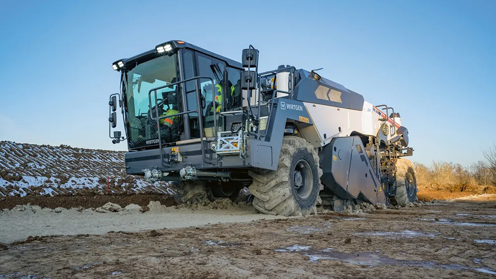
    At bauma, Wirtgen presented the latest generation of the WR series, developed by the company especially for cold recycling and stabilisation applications. The machines impress with an optimised operating concept and consistently high productivity and mixing quality. With the new operator’s cabin and a revised and improved operating concept, the WR series machines enable the achievement of particularly efficient and cost-effective workflows.
  • Sandvik’s landmark tech partnership with IBM
    March 6, 2017
    Sandvik Mining & Rock Technology has entered a landmark technology partnership with IBM that will see them work together on advanced analytics solutions to enhance safety, maintenance, productivity and operational services of rock excavation equipment.
  • Hemisphere & Carlson ‘strategic’ alliance
    January 6, 2017
    US firms Hemisphere GPS and Carlson Software have formed a ‘strategic alliance’. The move, according to the companies, will provide a “roadmap” for new, integrated solutions for land survey, mapping, construction, mining and other key machine control markets.
  • Hemisphere & Carlson ‘strategic’ alliance
    March 8, 2012
    US firms Hemisphere GPS and Carlson Software have formed a ‘strategic alliance’. The move, according to the companies, will provide a “roadmap” for new, integrated solutions for land survey, mapping, construction, mining and other key machine control markets.